
The climb · Spain
About Alto de Aitana
Alto de Aitana’s full ascent includes a restricted military road beyond Puerto de Tudons. Access to that upper section requires specific authorisation; ordinary recreational riders should finish at Tudons. From the Sella approach, the public road climbs into Alicante’s mountain interior, passing from more open lower slopes into Mediterranean woodland. Bends and changing gradients give the approach variety before the road reaches the pass and the entrance to the military section.
The full route continues higher towards the installations on the Sierra de Aitana, with sustained climbing and increasingly open surroundings above Tudons. That upper extension accounts for a substantial part of the complete ascent’s height and difficulty, so the pass and the high finish are distinct objectives. Even with the access boundary, the approach has a clear mountain character: a long rise from the countryside around Sella to the wooded pass beneath Aitana.
01 / The ascent
Elevation profile
02 / The numbers
Climb statistics
- Distance
- 21.50 km
- Elevation gain
- 1,249 m
- Average gradient
- 5.7%
- Climb category
- HC
- Start elevation
- 289 m
- Summit elevation
- 1,522 m
03 / On the ground
Route map
Route overview
Alto de Aitana
Sella, Valencian Community, Spain
- Route length
- 21.50 km
- Total ascent
- 1,249 m
- Average gradient
- 5.7%
04 / Take it home
The climb, as artwork
Turn the route into a personalised topographic print. Choose your colours and composition, then download your artwork.
05 / Keep exploring
Nearby climbs

Reconco
4.5 km · 8.8% · 400 m gain
Biar, Valencian Community, Spain
41.5 km away · Explore climb →
Puerto del Garbí La Frontera
5.0 km · 8.9% · 447 m gain
Estivella, Comunidad Valenciana, Spain
125.1 km away · Explore climb →
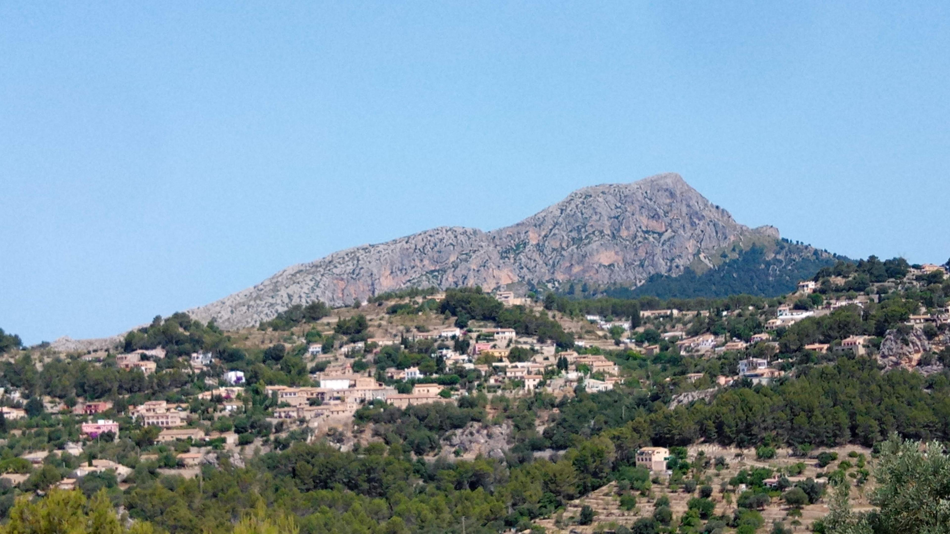
Es Capdellà
4.6 km · 6.1% · 283 m gain
Calvià, Illes Balears, Spain
262.4 km away · Explore climb →
Coll d'es Grau
3.2 km · 6.8% · 217 m gain
Puigpunyent, Illes Balears, Spain
267.4 km away · Explore climb →
Coll des Tords
3.6 km · 3.9% · 139 m gain
Puigpunyent, Illes Balears, Spain
271.0 km away · Explore climb →