
The climb · Switzerland
About Arosa
Leaving Chur, the road to Arosa gains height quickly before settling into the long curves of the Schanfigg valley. The ascent passes through a succession of villages, including Castiel, St Peter and Langwies, giving the journey a rhythm that belongs to a lived-in mountain valley. Across roughly 27 kilometres, the road links those settlements to the resort above, with bends arriving far more often than any simple map suggests.
The effort changes along the way. After the harder opening, much of the middle section climbs more gently, with small descents interrupting the overall rise. The final approach above Litzirüti asks for firmer work again as the road winds towards Arosa. That alternation makes the ride feel longer and more varied than its overall gradient implies. The finish is a mountain town, with the satisfaction of having followed its valley road all the way up.
01 / The ascent
Elevation profile
02 / The numbers
Climb statistics
- Distance
- 27.35 km
- Elevation gain
- 1,257 m
- Average gradient
- 4.1%
- Climb category
- HC
- Start elevation
- 615 m
- Summit elevation
- 1,750 m
03 / On the ground
Route map
Route overview
Arosa
Chur, Graubünden, Switzerland
- Route length
- 27.35 km
- Total ascent
- 1,257 m
- Average gradient
- 4.1%
04 / Take it home
The climb, as artwork
Turn the route into a personalised topographic print. Choose your colours and composition, then download your artwork.
05 / Keep exploring
Nearby climbs

Flüelapass
12.8 km · 7.4% · 950 m gain
Susch, Graubünden, Switzerland
42.7 km away · Explore climb →
Zeinisjoch
2.6 km · 8.3% · 214 m gain
Tirol, Austria
49.6 km away · Explore climb →
Le Motte
3.0 km · 8.2% · 240 m gain
Bormio, Lombardy, Italy
76.3 km away · Explore climb →
Bormio 2000
9.0 km · 8.1% · 731 m gain
Bormio, Lombardia, Italy
77.2 km away · Explore climb →
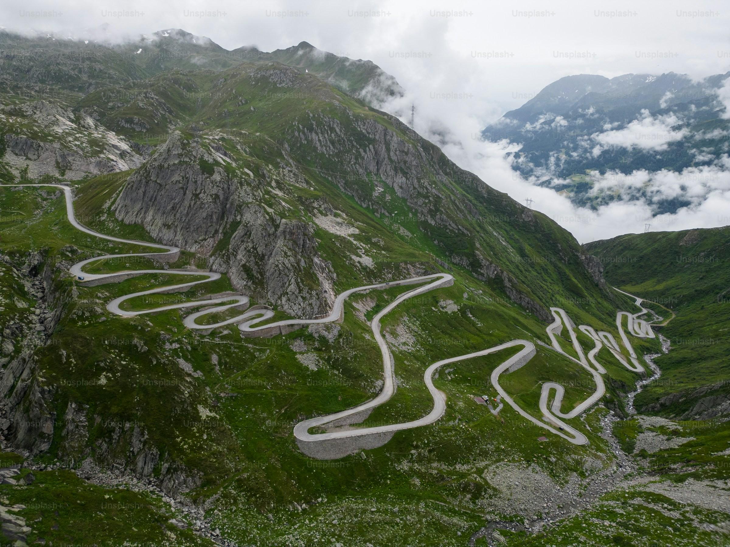
Gotthard Pass
12.3 km · 7.4% · 890 m gain
Airolo, Ticino, Switzerland
79.5 km away · Explore climb →