
Bank Road takes its character from Matlock itself: a climb through the town rather than an escape into open hills. Rising from the centre, the route follows Bank Road uphill and continues into Rutland Street before turning onto Wellington Street. Buildings and junctions give the ascent a succession of familiar street corners, but the slope puts them into a rather different perspective from the saddle. The stored route extends for about a kilometre.
The lower portion leads into a steeper middle, where the road's direct line leaves little ambiguity about the work ahead. There is a change of direction near the top and a less severe closing section, though these come after the main effort. The interest lies in the setting as much as the gradient: an ordinary journey across town becomes a concentrated climb. Bank Road is a persuasive argument for taking urban hills seriously.
01 / The ascent
Elevation profile
02 / The numbers
Climb statistics
- Distance
- 1.04 km
- Elevation gain
- 96 m
- Average gradient
- 9.2%
- Climb category
- 4
- Start elevation
- 97 m
- Summit elevation
- 193 m
03 / On the ground
Route map
Route overview
Bank Road Hill
Matlock, England, United Kingdom
- Route length
- 1.04 km
- Total ascent
- 96 m
- Average gradient
- 9.2%
04 / Take it home
The climb, as artwork
Turn the route into a personalised topographic print. Choose your colours and composition, then download your artwork.
05 / Keep exploring
Nearby climbs

Rowsley Bar
1.1 km · 12.5% · 135 m gain
Rowsley, England, United Kingdom
7.0 km away · Explore climb →
Jenkin Chapel and Pym's Chair
1.5 km · 10.8% · 158 m gain
Macclesfield, England, United Kingdom
35.3 km away · Explore climb →
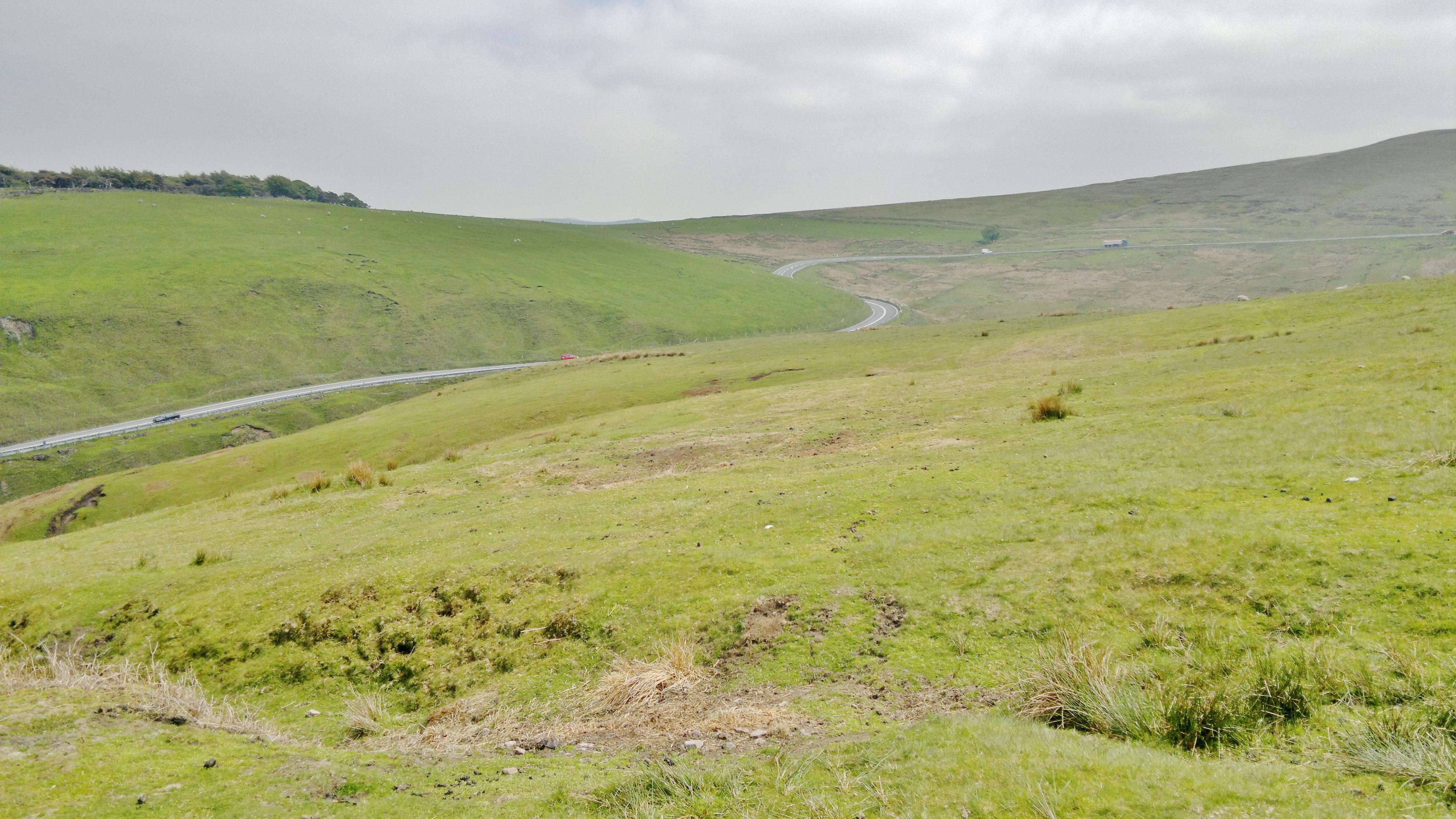
Cat and Fiddle
11.5 km · 3.3% · 401 m gain
Macclesfield, Cheshire East, United Kingdom
40.1 km away · Explore climb →

Holme Moss
4.5 km · 7.0% · 319 m gain
Holmbridge, England, United Kingdom
49.7 km away · Explore climb →
Knott Hill
1.8 km · 6.7% · 124 m gain
56.7 km away · Explore climb →