
The climb · France
About Col d' Aspin
From Sainte-Marie-de-Campan, the Col d’Aspin allows the ride to unfold gradually. The western approach follows the valley towards Payolle, with gentler ground giving time to look beyond the road. At around 12.6 kilometres, it is long enough to feel like a proper mountain crossing, yet its opening gives little indication of where most of the work will come. The change is concentrated beyond Payolle, where the road turns upwards and the easy progress of the valley gives way to a more deliberate climbing rhythm.
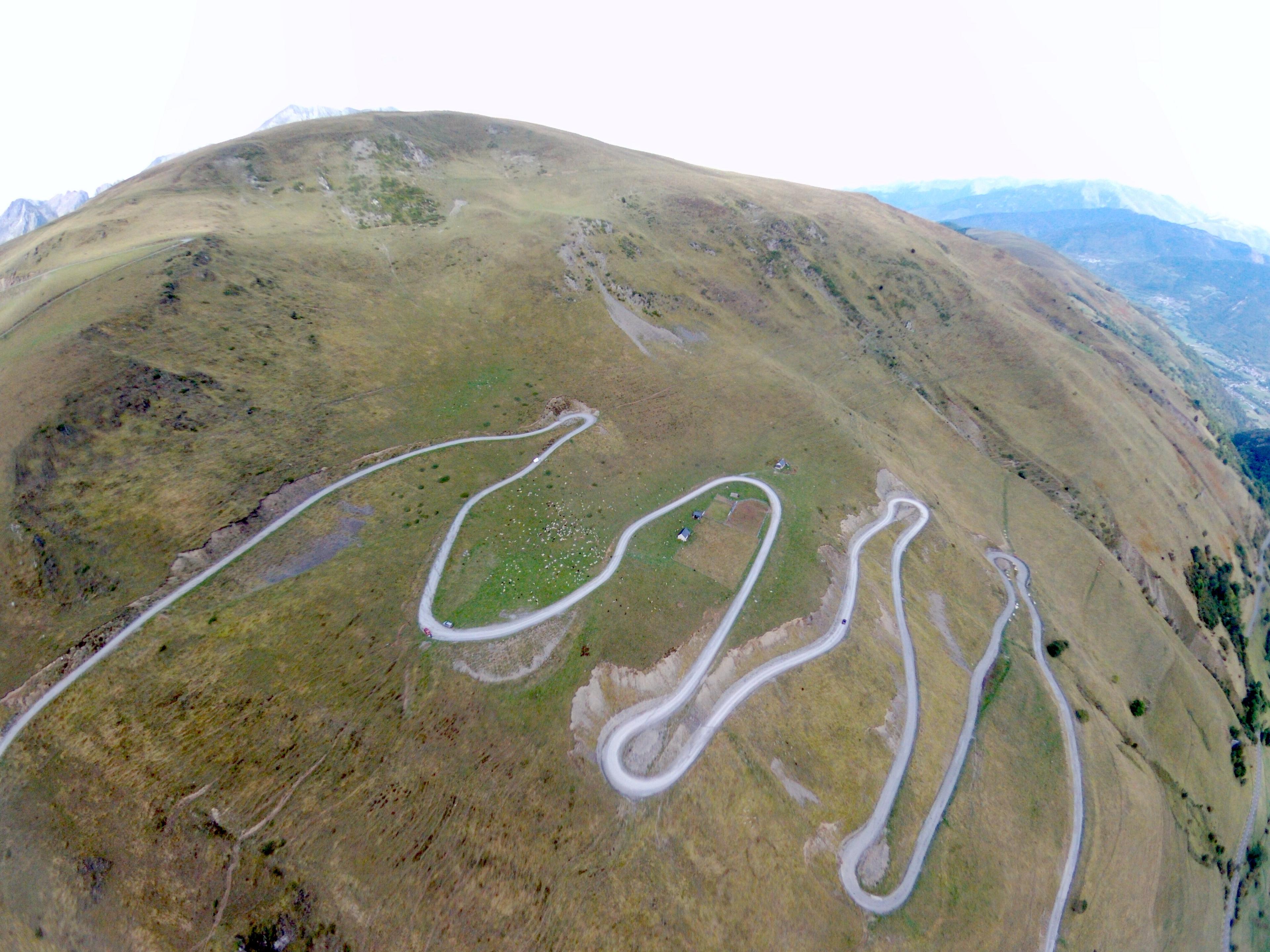
The bends of the upper ascent draw you towards the pass, with the surrounding mountains becoming the reward for that sharper effort. This is a climb of contrasting halves: the first invites a little speed, while the second makes each turn count. Reaching the open col brings a pleasing sense of arrival. Aspin has a quiet authority of its own.
01 / The ascent
Elevation profile
02 / The numbers
Climb statistics
- Distance
- 12.56 km
- Elevation gain
- 654 m
- Average gradient
- 5.1%
- Climb category
- 2
- Start elevation
- 851 m
- Summit elevation
- 1,488 m
03 / On the ground
Route map
Route overview
Col d' Aspin
Campan, Midi-Pyrénées, France
- Route length
- 12.56 km
- Total ascent
- 654 m
- Average gradient
- 5.1%
04 / Take it home
The climb, as artwork
Turn the route into a personalised topographic print. Choose your colours and composition, then download your artwork.
05 / Keep exploring
Nearby climbs

Hourquette d' Ancizan
16.8 km · 4.2% · 799 m gain
Campan, Occitanie, France
0.1 km away · Explore climb →
Col du Portet
16.0 km · 9.0% · 1389 m gain
Vignec, Languedoc-Roussillon Midi-Pyrénées, France
18.8 km away · Explore climb →
Lac de Cap-de-Long
13.4 km · 7.6% · 1039 m gain
Aragnouet, Midi-Pyrénées, France
21.3 km away · Explore climb →
Banhs de Tredos
7.7 km · 6.3% · 498 m gain
Naut Aran, Catalunya, Spain
63.1 km away · Explore climb →
Côte de Sauveterre
2.3 km · 3.2% · 92 m gain
Sauveterre, Midi-Pyrénées, France
75.2 km away · Explore climb →