
01 / The ascent
Elevation profile
02 / The numbers
Climb statistics
- Distance
- 13.91 km
- Elevation gain
- 1,042 m
- Average gradient
- 7.4%
- Climb category
- HC
- Start elevation
- 1,371 m
- Summit elevation
- 2,402 m
03 / On the ground
Route map
Route overview
Col de la Moutière
Saint Dalmas Le Selvage, Provence-Alpes-Côte d'Azur, France
- Route length
- 13.91 km
- Total ascent
- 1,042 m
- Average gradient
- 7.4%
04 / Take it home
The climb, as artwork
Turn the route into a personalised topographic print. Choose your colours and composition, then download your artwork.
05 / Keep exploring
Nearby climbs
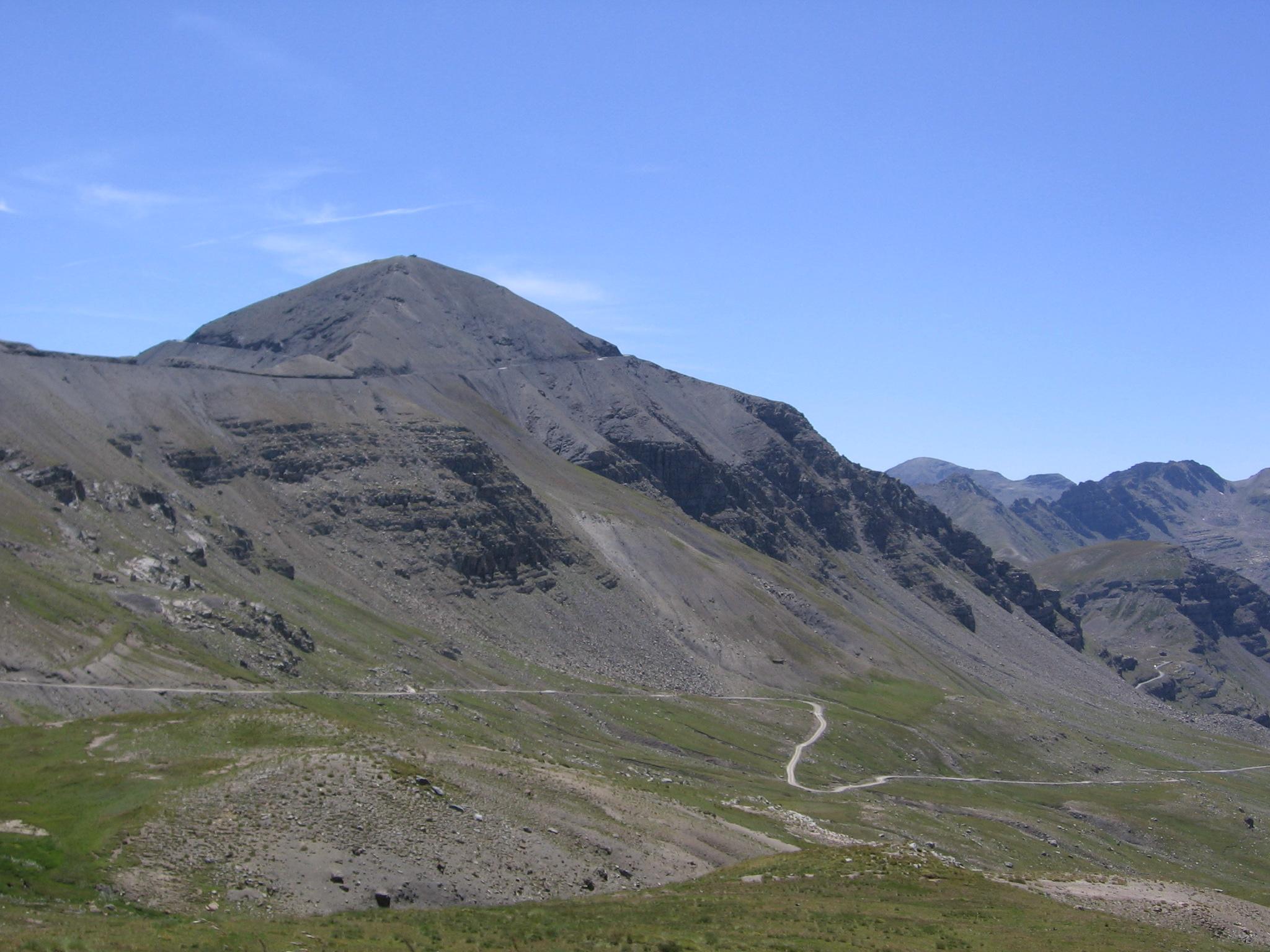
Cime de la Bonette-Restefond
23.2 km · 6.7% · 1586 m gain
Jausiers, Provence-Alpes-Côte d'Azur, France
19.6 km away · Explore climb →

Col de Vars
14.2 km · 5.5% · 787 m gain
La Condamine Châtelard, PACA, France
23.6 km away · Explore climb →

Col des Champs
10.7 km · 7.5% · 807 m gain
Colmars, Provence-Alpes-Côte d'Azur, France
24.1 km away · Explore climb →
Col de Turini
3.6 km · 7.6% · 272 m gain
La Bollène Vésubie, Provence-Alpes-Côte d'Azur, France
51.0 km away · Explore climb →
Col de l'Écharasson
6.2 km · 6.2% · 461 m gain
Gourdon, Provence-Alpes-Côte d'Azur, France
63.1 km away · Explore climb →