The climb · Italy
About Colle Sommeiller
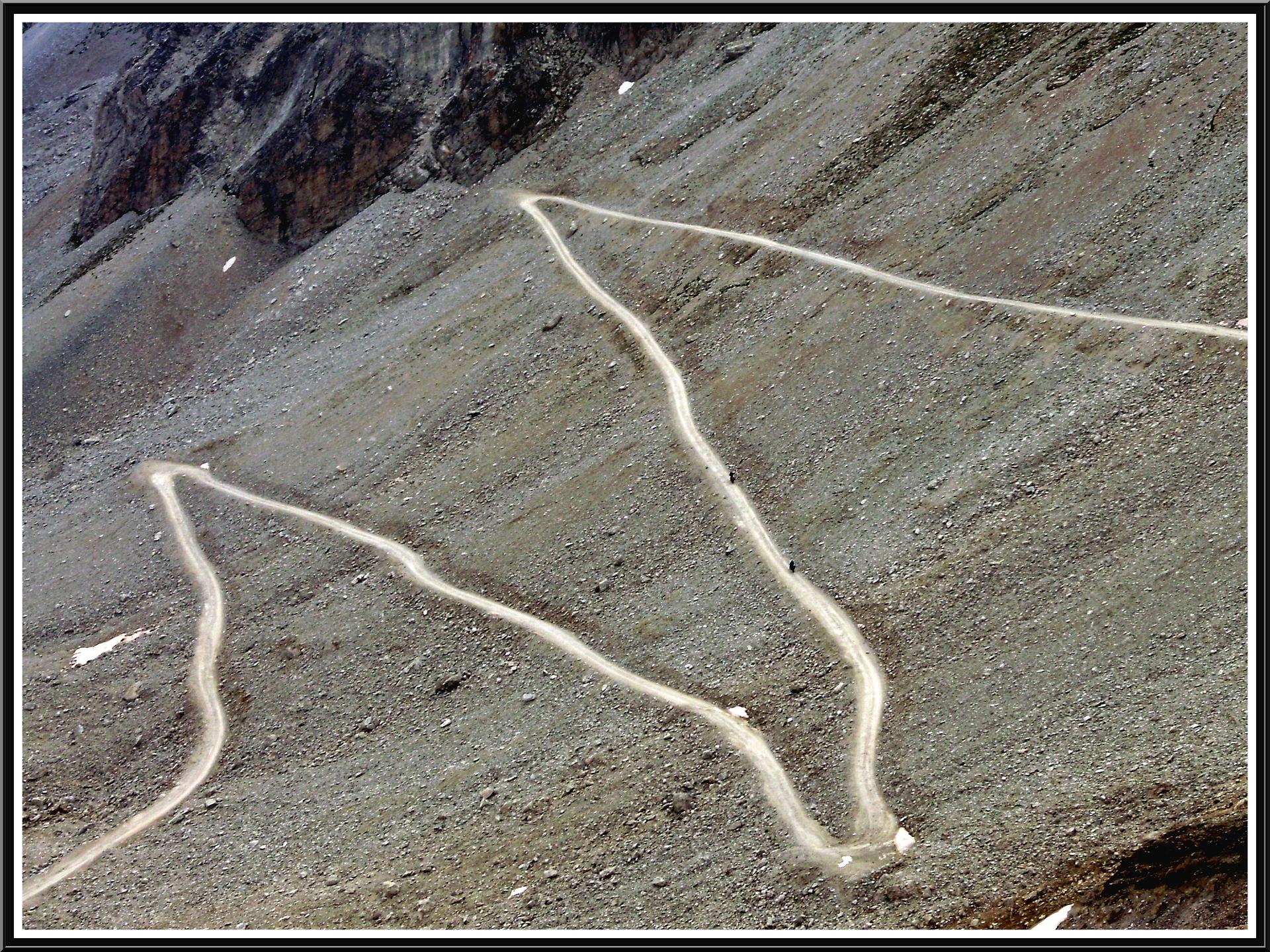
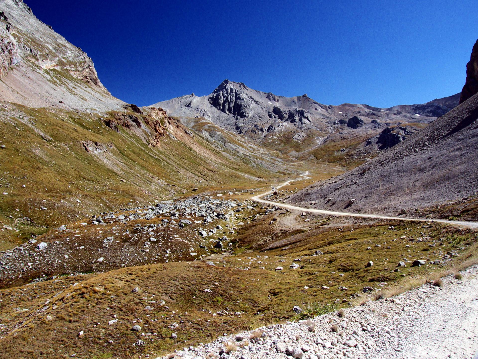
The ascent of Colle Sommeiller begins on tarmac in Bardonecchia, following the valley towards Rochemolles before changing to gravel beyond the village. The reservoir and the approach to Rifugio Scarfiotti divide the journey into recognisable stages, with the road gradually drawing you deeper into the mountains. It is an ascent for a mountain bike, with the surface becoming as much a part of the effort as the gradient.
Above the refuge, successive hairpins lift the track towards the upper basins. Brief easier stretches break up the climbing around Pian dei Morti and Pian dei Frati, before the final rise towards the col. The surroundings grow increasingly bare and rocky, and the rougher upper track demands attention to the line beneath your wheels. Finishing close to 3,000 metres, Sommeiller offers the particular satisfaction of reaching high mountain country under your own power.
01 / The ascent
Elevation profile
02 / The numbers
Climb statistics
- Distance
- 24.31 km
- Elevation gain
- 2,304 m
- Average gradient
- 6.9%
- Climb category
- HC
- Start elevation
- 1,302 m
- Summit elevation
- 2,986 m
03 / On the ground
Route map
Route overview
Colle Sommeiller
Turin, Italy, Piedmont, Italy
- Route length
- 24.31 km
- Total ascent
- 2,304 m
- Average gradient
- 6.9%
04 / Take it home
The climb, as artwork
Turn the route into a personalised topographic print. Choose your colours and composition, then download your artwork.
05 / Keep exploring
Nearby climbs
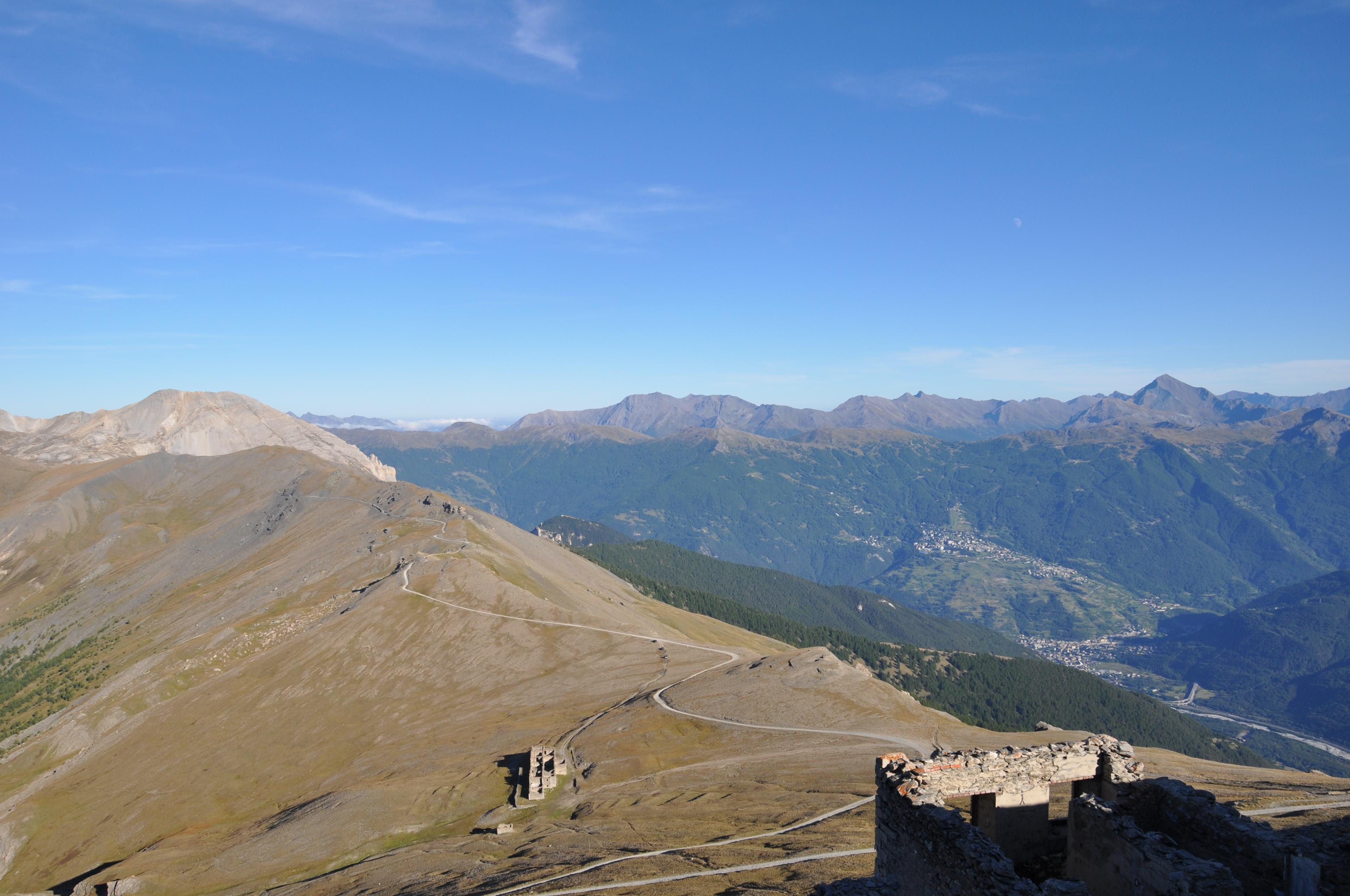
Monte Jafferau
7.3 km · 8.4% · 0 m gain
Piemonte, Italy
0.8 km away · Explore climb →
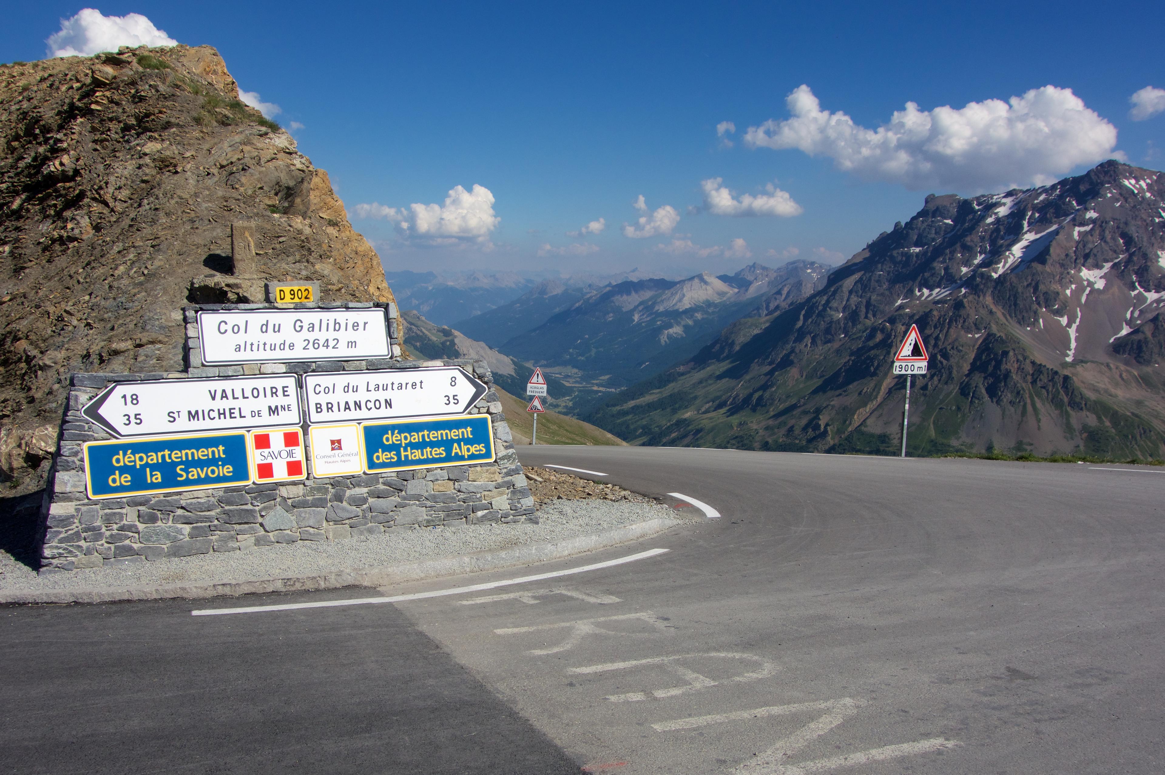
Col du Galibier
34.8 km · 6.4% · 2087 m gain
Saint-Michel-de-Maurienne, Savoy, France
23.6 km away · Explore climb →
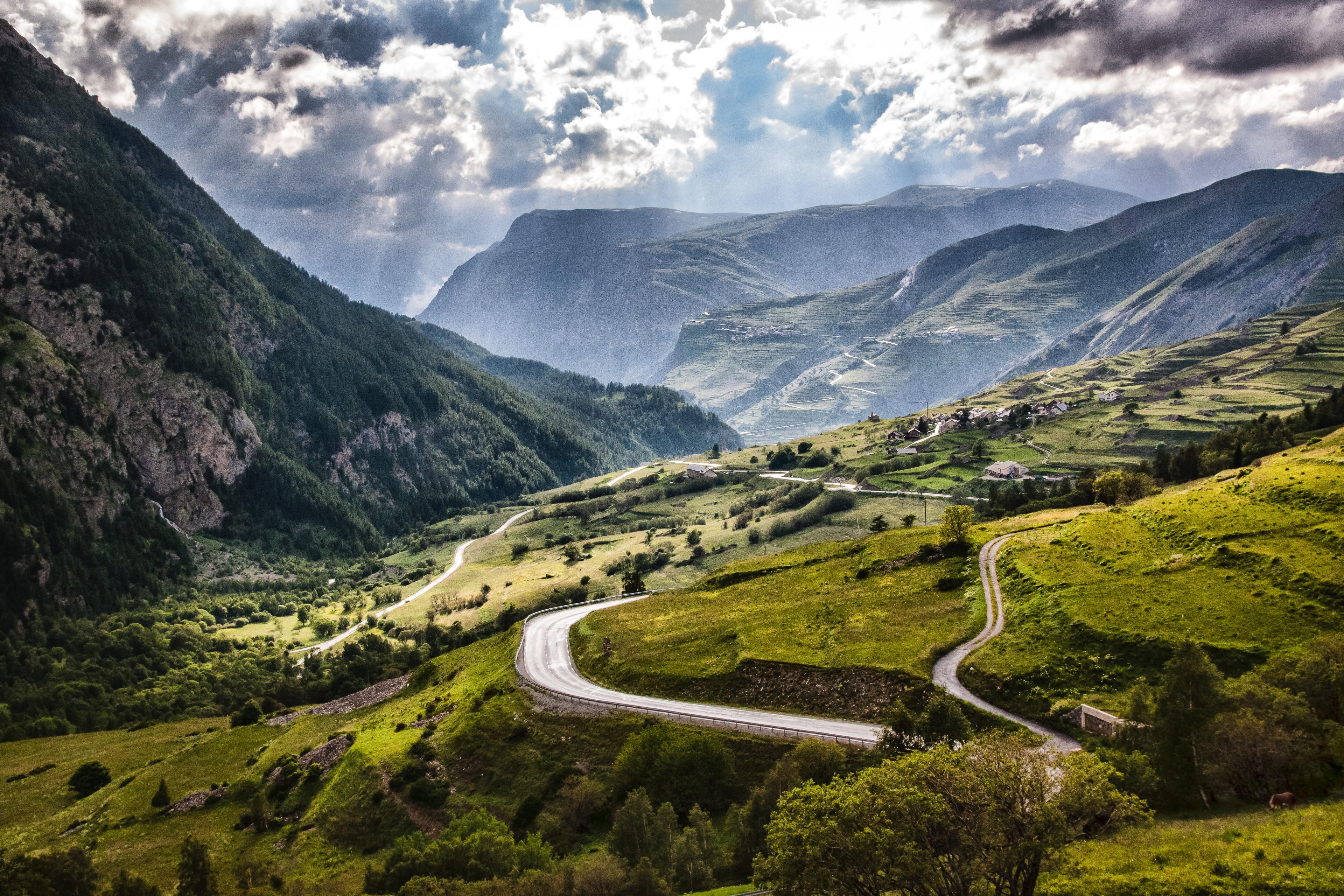
Col du Galibier from Villar-d’Arène
15.7 km · 6.1% · 960 m gain
Villar D'Arêne, PACA, France
29.9 km away · Explore climb →
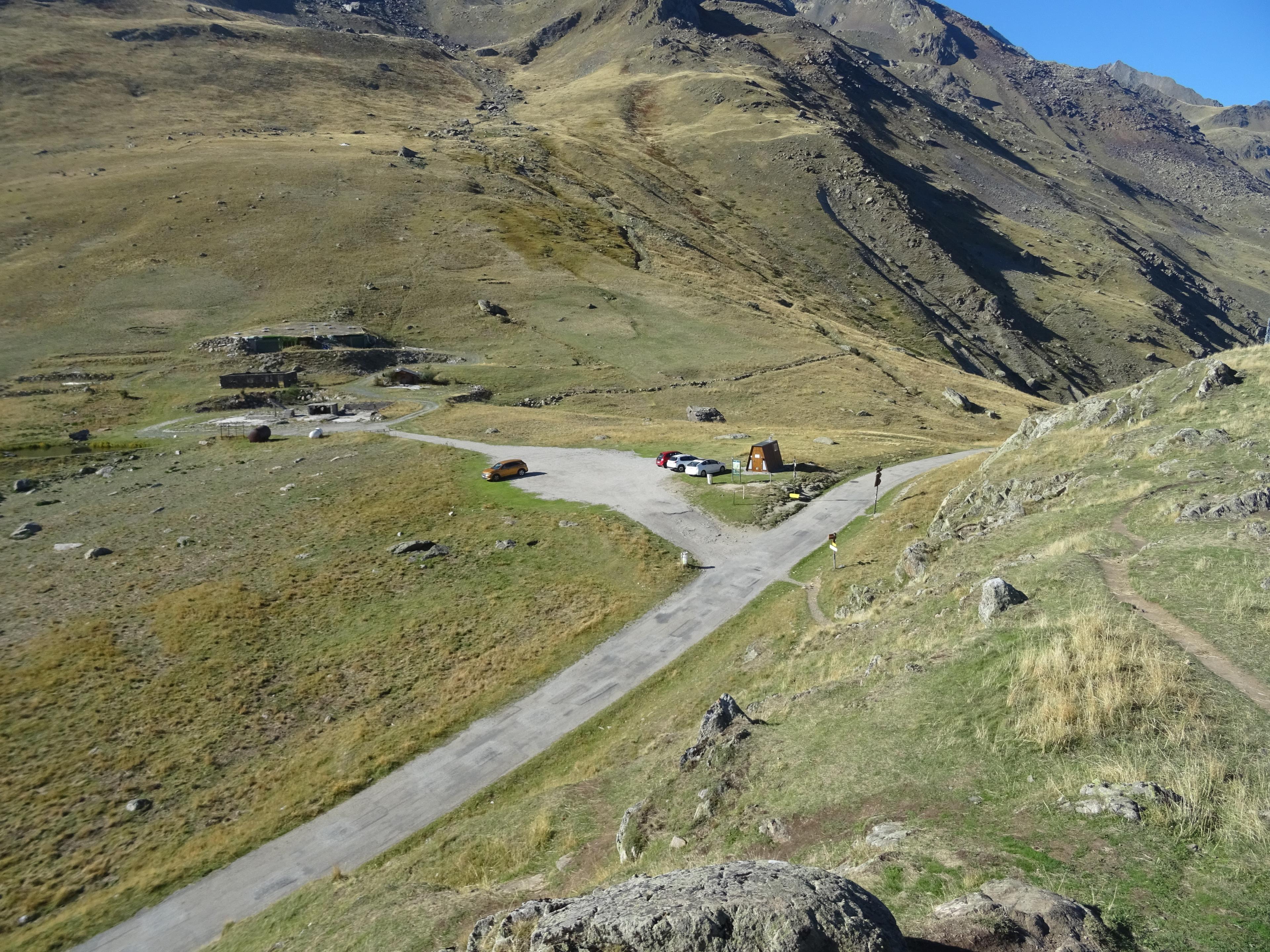
Col de Sarenne
12.9 km · 7.0% · 925 m gain
Mizoën, Rhône-Alpes, France
45.1 km away · Explore climb →
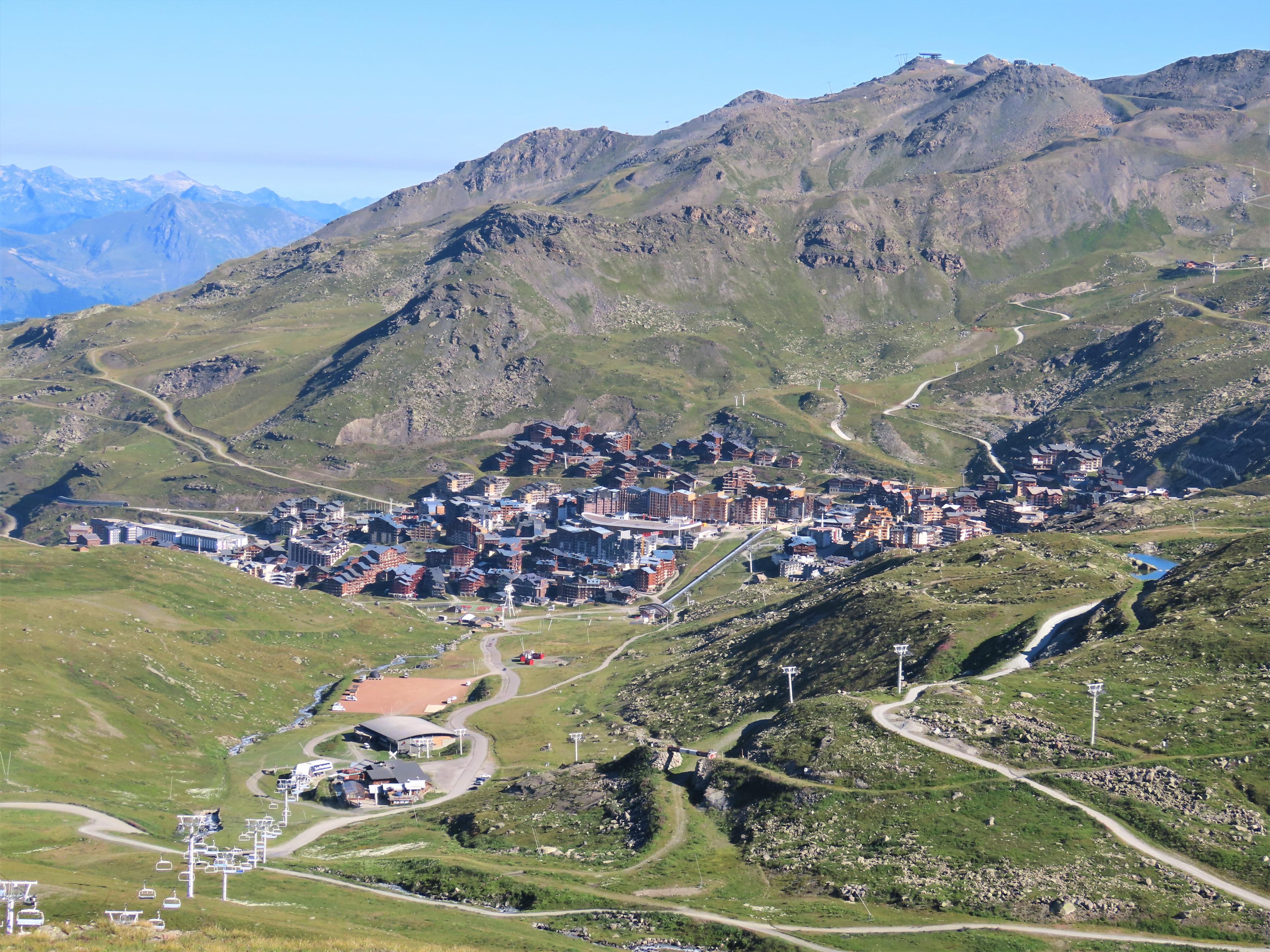
Val Thorens
36.3 km · 4.8% · 1899 m gain
Moûtiers, RA, France
46.7 km away · Explore climb →