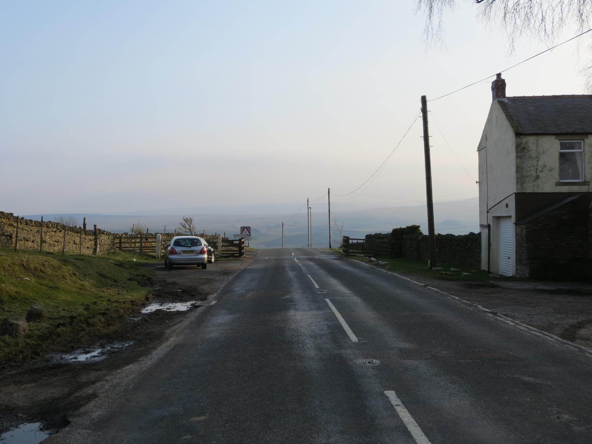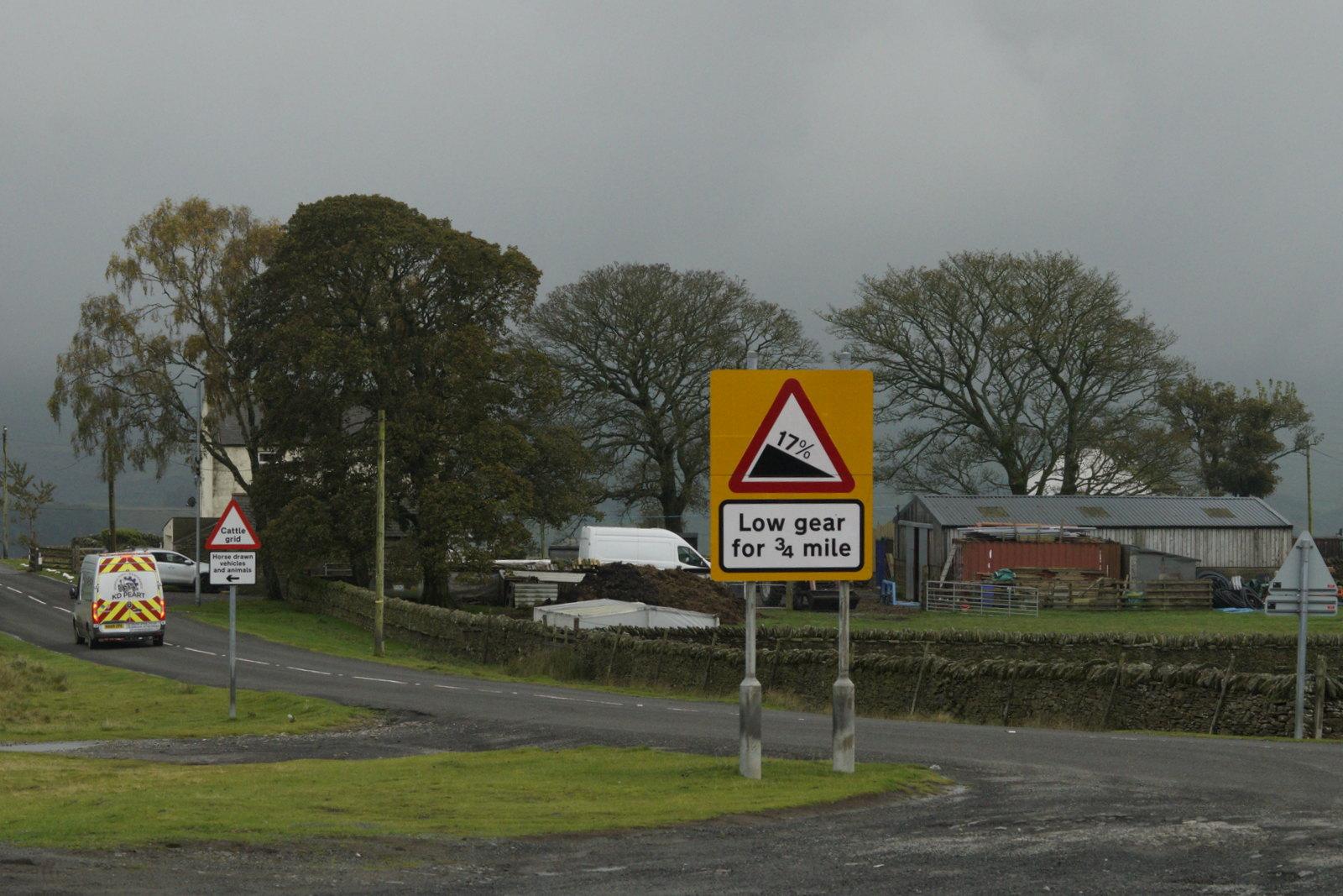
A steady, unassuming climb that snakes through patchwork fields. Gentle gradients lull the legs into rhythm, while occasional sharper pitches keep attention alert. Quiet lanes and hedgerows frame the ascent, making the summit feel earned.
01 / The ascent
Elevation profile
02 / The numbers
Climb statistics
- Distance
- 6.13 km
- Elevation gain
- 282 m
- Average gradient
- 4.4%
- Climb category
- 3
- Start elevation
- 206 m
- Summit elevation
- 479 m
03 / On the ground
Route map
Route overview
Crawleyside
Stanhope, England, United Kingdom
- Route length
- 6.13 km
- Total ascent
- 282 m
- Average gradient
- 4.4%
04 / Take it home
The climb, as artwork
Turn the route into a personalised topographic print. Choose your colours and composition, then download your artwork.
05 / Keep exploring
Nearby climbs

Peat Hill
3.5 km · 7.3% · 260 m gain
8.5 km away · Explore climb →
Chapel Fell
4.0 km · 8.3% · 334 m gain
Bishop Auckland, UK, England, United Kingdom
10.8 km away · Explore climb →

The Great Dun Fell
7.3 km · 10.2% · 631 m gain
Appleby In Westmorland, Cumbria, United Kingdom
33.5 km away · Explore climb →
Buttertubs
5.0 km · 5.4% · 269 m gain
Hawes, United Kingdom
49.7 km away · Explore climb →
Fleet Moss
5.4 km · 5.9% · 320 m gain
DL8, UK, England, United Kingdom
51.6 km away · Explore climb →