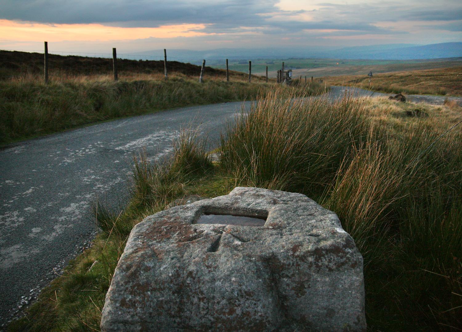
Cross of Greet is a short but brutal ascent in the heart of the Peak District. Its steep gradients demand a punchy effort from the outset, catching riders off guard if they underestimate its intensity. The climb is perfect for testing your legs over a concentrated burst of work.
The road winds through open moorland, offering wide-ranging views of the surrounding hills and valleys. The exposure adds an element of drama, making each bend a miniature challenge as wind and gradient combine to sap energy.
The final section features sharper ramps and tight bends that call for both strength and finesse. Summiting Cross of Greet is a satisfying reward, a sense of accomplishment amplified by the sweeping vistas and the knowledge that you’ve conquered a deceptively tough Peak District climb.
01 / The ascent
Elevation profile
02 / The numbers
Climb statistics
- Distance
- 2.93 km
- Elevation gain
- 185 m
- Average gradient
- 6.3%
- Climb category
- 3
- Start elevation
- 271 m
- Summit elevation
- 456 m
03 / On the ground
Route map
Route overview
Cross of Greet
Clitheroe BB7, UK, England, United Kingdom
- Route length
- 2.93 km
- Total ascent
- 185 m
- Average gradient
- 6.3%
04 / Take it home
The climb, as artwork
Turn the route into a personalised topographic print. Choose your colours and composition, then download your artwork.
05 / Keep exploring
Nearby climbs

Langcliffe Scar
2.0 km · 8.4% · 171 m gain
Langcliffe, England, United Kingdom
13.5 km away · Explore climb →

Nick O’ Pendle
2.7 km · 6.7% · 180 m gain
Clitheroe, Lancashire, United Kingdom
19.3 km away · Explore climb →
Barley Hill
0.7 km · 11.2% · 73 m gain
Burnley, England, United Kingdom
22.2 km away · Explore climb →
Fleet Moss
5.4 km · 5.9% · 320 m gain
DL8, UK, England, United Kingdom
34.5 km away · Explore climb →
Buttertubs
5.0 km · 5.4% · 269 m gain
Hawes, United Kingdom
36.3 km away · Explore climb →