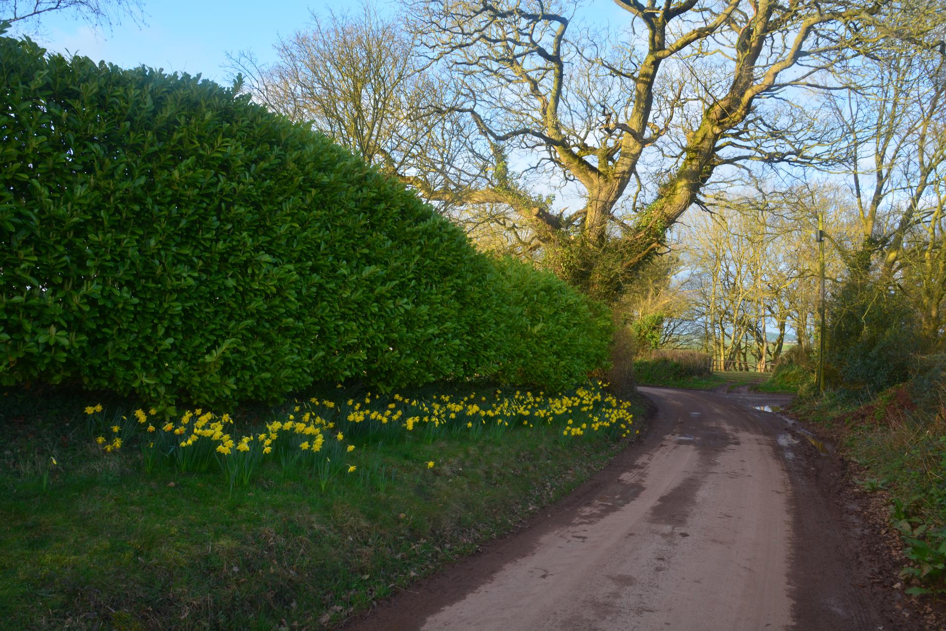
Short and intense, Dovers Hill asks everything immediately. My legs burn in protest, arms grip the handlebars tightly. I round hedges and farm fences, the climb forcing every ounce of attention. There’s little room for error. At the top, the calm countryside stretches out, a gentle reward after sharp pain. It’s a quick but memorable hit, perfectly British in character.
01 / The ascent
Elevation profile
02 / The numbers
Climb statistics
- Distance
- 1.73 km
- Elevation gain
- 145 m
- Average gradient
- 9.7%
- Climb category
- 4
- Start elevation
- 81 m
- Summit elevation
- 225 m
03 / On the ground
Route map
Route overview
Dover's Hill
Weston Subedge, United Kingdom
- Route length
- 1.73 km
- Total ascent
- 145 m
- Average gradient
- 9.7%
04 / Take it home
The climb, as artwork
Turn the route into a personalised topographic print. Choose your colours and composition, then download your artwork.
05 / Keep exploring
Nearby climbs

Brill Hill
2.0 km · 5.1% · 101 m gain
Oakley, England, United Kingdom
58.9 km away · Explore climb →
Symonds Yat
1.8 km · 6.1% · 126 m gain
Ross-on-Wye, England, United Kingdom
61.0 km away · Explore climb →
Kingston Blount
1.2 km · 8.2% · 101 m gain
Lewknor, Oxfordshire, United Kingdom
73.6 km away · Explore climb →
Whitchurch Hill
1.2 km · 7.6% · 89 m gain
Reading, Oxfordshire, United Kingdom
81.2 km away · Explore climb →
Côte de Maerdy
1.7 km · 7.7% · 129 m gain
Maerdy, Rhondda Cynon Taff, United Kingdom
122.5 km away · Explore climb →