The climb · Oman
About Jebel Shams
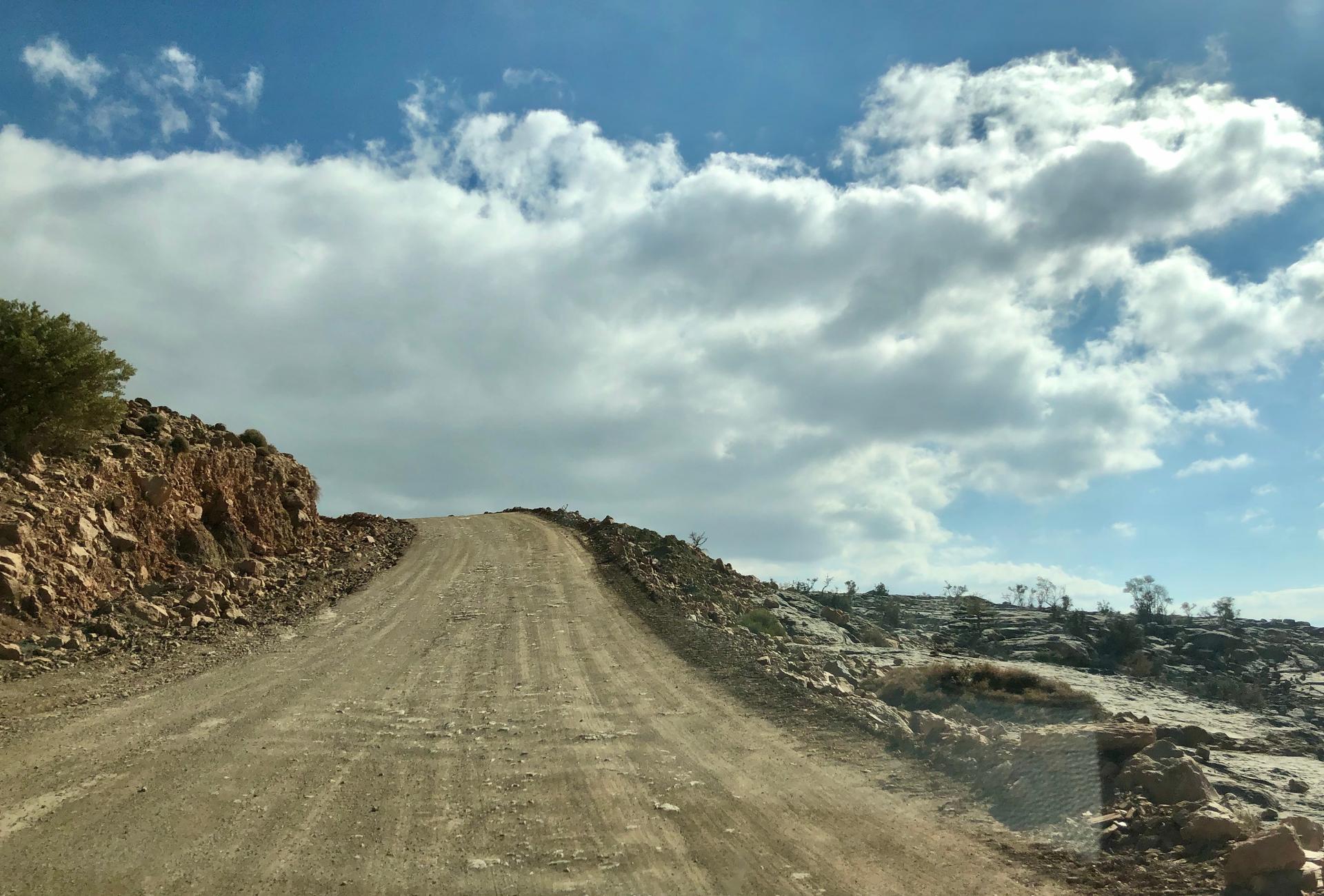
The approach to Jebel Shams climbs towards the visitor plateau high above the valleys around Al Hamra. Bare rock and deep folds in the mountain give the road its scale, with steep bends turning a relatively short distance on the map into a substantial ascent. The route runs for about 22 kilometres to the high plateau, below the mountain’s actual summit. The destination belongs to the canyon landscape rather than a road crossing of the highest peak.
The climbing varies enough to interrupt a settled rhythm, and the upper approach has historically included unsealed stretches between paved sections. Check the current surface before choosing a bike for the full ascent. As the road reaches the plateau, the enclosing slopes give way to a broader mountain setting, with Wadi Nakhr’s great cleft nearby. The appeal is the journey into this stark landscape, as much as the height gained.
01 / The ascent
Elevation profile
02 / The numbers
Climb statistics
- Distance
- 21.98 km
- Elevation gain
- 1,360 m
- Average gradient
- 5.1%
- Climb category
- HC
- Start elevation
- 875 m
- Summit elevation
- 2,007 m
03 / On the ground
Route map
Route overview
Jebel Shams
Ad Dakhiliyah Governorate, Oman
- Route length
- 21.98 km
- Total ascent
- 1,360 m
- Average gradient
- 5.1%
04 / Take it home
The climb, as artwork
Turn the route into a personalised topographic print. Choose your colours and composition, then download your artwork.
05 / Keep exploring
Nearby climbs

Green Mountain Jabal Al Akhdhar
5.7 km · 10.1% · 573 m gain
Ad Dakhiliyah, Oman
59.4 km away · Explore climb →
Al Jissah
2.6 km · 8.3% · 226 m gain
Al Bustan, Masqat, Oman
156.6 km away · Explore climb →
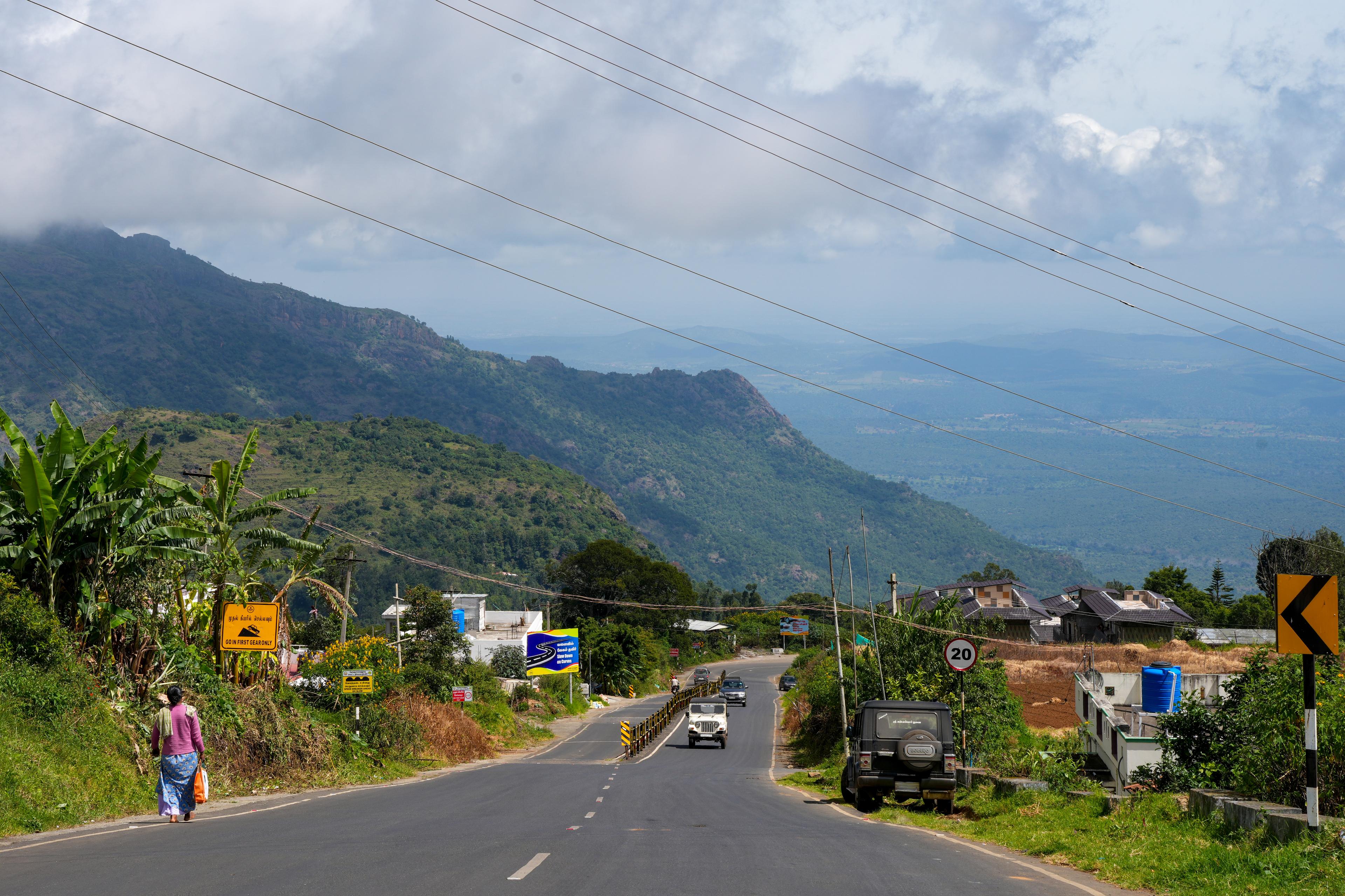
Kalhatty
11.6 km · 10.5% · 1470 m gain
Tamil Nadu, India
2442.9 km away · Explore climb →
Cisnadioara
1.2 km · 5.4% · 66 m gain
Cisnădioara, SB, Romania
3883.4 km away · Explore climb →
Przełęcz Przysłup
4.7 km · 6.1% · 324 m gain
Tyrawa Wołoska, Podkarpackie Voivodeship, Poland
4213.0 km away · Explore climb →