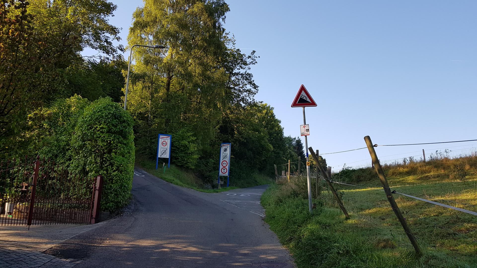
01 / The ascent
Elevation profile
Gradient by distance0.49 km / 58 m gain
0 km0.1 km0.2 km0.3 km0.4 km0.5 km
02 / The numbers
Climb statistics
- Distance
- 0.49 km
- Elevation gain
- 58 m
- Average gradient
- 11.9%
- Climb category
- Uncategorized
- Start elevation
- 56 m
- Summit elevation
- 114 m
03 / On the ground
Route map
Route overview
Keutenberg
Schin op Geul, Limburg, Netherlands
- Route length
- 0.49 km
- Total ascent
- 58 m
- Average gradient
- 11.9%
04 / Take it home
The climb, as artwork
Turn the route into a personalised topographic print. Choose your colours and composition, then download your artwork.
Artwork studio loads as you approach this section.
05 / Keep exploring
Nearby climbs

Jansbos
1.3 km · 5.2% · 68 m gain
Valkenburg, LI, The Netherlands
1.8 km away · Explore climb →
Kersboomkensweg Kunderberg
1.8 km · 2.0% · 35 m gain
Wijnandsrade, Limburg, The Netherlands
6.1 km away · Explore climb →
Sweijersgewanden
0.4 km · 4.0% · 17 m gain
Simpelveld, Limburg, The Netherlands
8.3 km away · Explore climb →
Loorberg Flabberweg
1.4 km · 5.9% · 82 m gain
Slenaken, Limburg, Netherlands
8.6 km away · Explore climb →
Planckerweg
1.3 km · 4.5% · 60 m gain
Voeren, Belgium
9.6 km away · Explore climb →