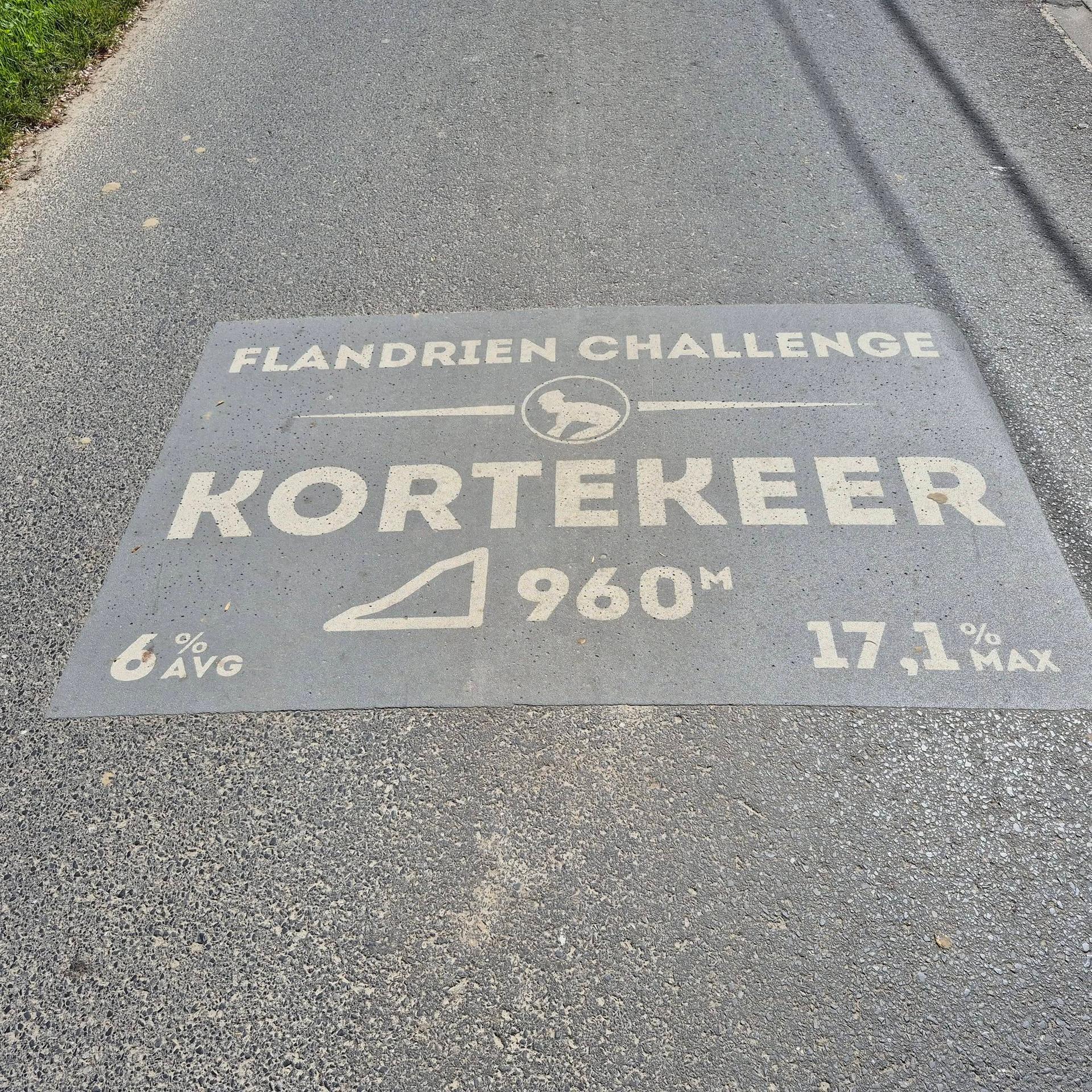
Kortekeer approaches Nukerke from the north-west, on a narrow asphalt road among the folds of the Flemish Ardennes. The lower part runs through fields before the road enters a more enclosed sequence of bends, with trees, shrubs and occasional houses close to the climbing line. That change in setting coincides with the more serious work. The ascent has none of the cobbled vibration of the nearby Koppenberg, but it still has the abrupt changes in slope that make these roads distinctive.
The selected section is just under a kilometre long. Its easier opening leaves space to settle into the ride before the steeper, shaded portion asks for a different cadence. The bends reveal the road in small pieces, so the effort feels less uniform than the overall distance suggests. Near the upper junction, the climbing finally loses its urgency. Kortekeer is a neatly shaped ascent whose smooth surface allows the gradient to speak clearly.
01 / The ascent
Elevation profile
02 / The numbers
Climb statistics
- Distance
- 0.96 km
- Elevation gain
- 63 m
- Average gradient
- 7.5%
- Climb category
- Uncategorized
- Start elevation
- 22 m
- Summit elevation
- 85 m
03 / Your effort
How long would it take?
Enter the power you could hold for the whole climb. We calculate a moving time from the elevation profile and the forces you ride against.
Use your intended climbing effort, rather than FTP unless you can hold it for the predicted duration.
Bike + kit includes clothing, bottles and luggage.
Advanced settings
Defaults represent a road-bike scenario. Adjust these settings to match your tyres, drivetrain and riding position.
Modelled moving time
4 min
- Power throughout
- 225 W
- Average speed
- 13.0 km/h
Based on the 0.96 km elevation profile. Assumes steady power, with no stops, braking or drafting. Rounded to the nearest minute.
The science behind the calculation
For each part of the stored profile, we solve the steady-state cycling power equation for speed, then add distance ÷ speed across the climb. Gravity uses rider + equipment weight; available power is W/kg × rider weight. This uses the profile’s distance and elevation together, without mixing in another route’s metrics.
Power × efficiency = gravity + rolling resistance + air resistance + bearing losses
The resistance equations are adapted from Martin et al. (1998), Validation of a Mathematical Model for Road Cycling Power. Air density changes with profile altitude using NASA’s standard-atmosphere model. This calculator’s adaptation has not been independently validated.
It predicts travel at the power you enter, including on descents. It does not model acceleration, cornering, braking, traffic, wind, changing weather or fatigue. At altitude, choose power you can sustain there: thinner air reduces drag, but this model does not predict its effect on your ability to produce power. Profile quality and assumed equipment settings also affect the result.
04 / On the ground
Route map
Route overview
Kortekeer
Kluisbergen, Vlaanderen, Belgium
- Route length
- 0.96 km
- Total ascent
- 63 m
- Average gradient
- 7.5%
05 / Take it home
The climb, as artwork
Turn the route into a personalised topographic print. Choose your colours and composition, then download your artwork.
06 / Keep exploring
Nearby climbs
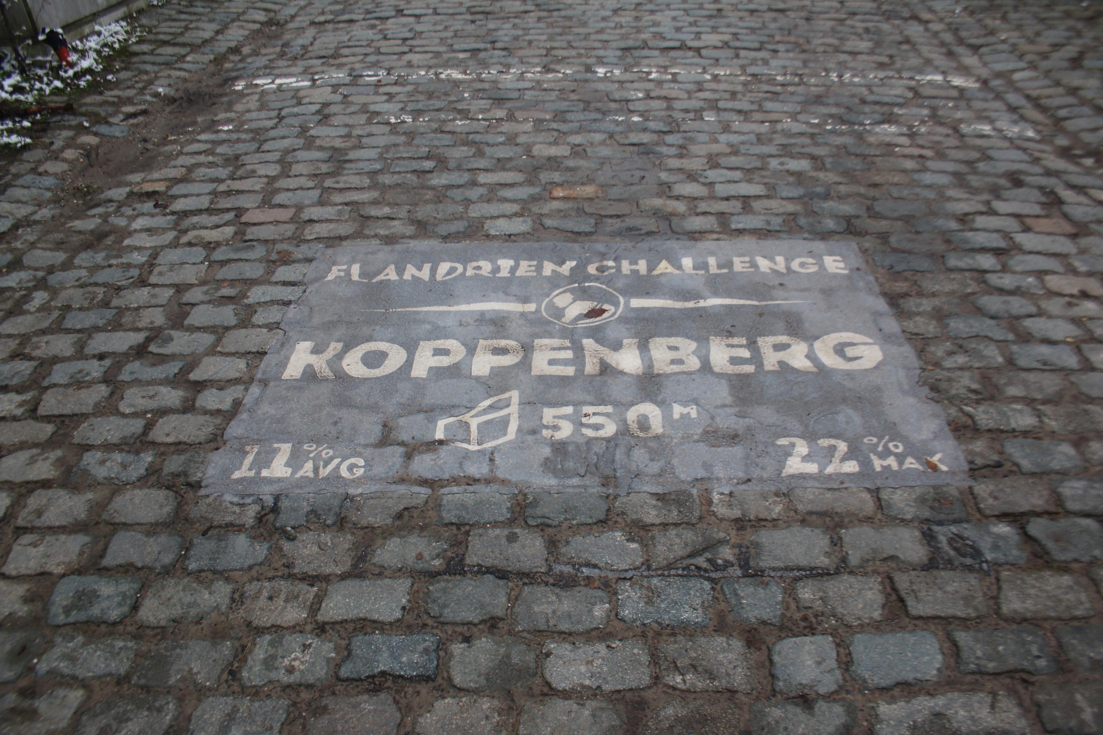
Koppenberg
0.6 km · 11.0% · 63 m gain
Oudenaarde, Vlaanderen, Belgium
1.4 km away · Explore climb →

Edelareberg
1.5 km · 4.1% · 61 m gain
Oudenaarde, Flanders, Belgium
4.4 km away · Explore climb →
Zonnestraat
0.8 km · 4.7% · 38 m gain
Wortegem Petegem, Flanders, Belgium
5.2 km away · Explore climb →
Oude Kruisberg
0.9 km · 6.1% · 53 m gain
Ronse, Vlaanderen, Belgium
5.4 km away · Explore climb →
Wolvenberg
0.7 km · 5.3% · 39 m gain
Oudenaarde, Vlaams Gewest, Belgium
6.0 km away · Explore climb →