The climb · United Kingdom
About Llangynidr Mountain
Collections
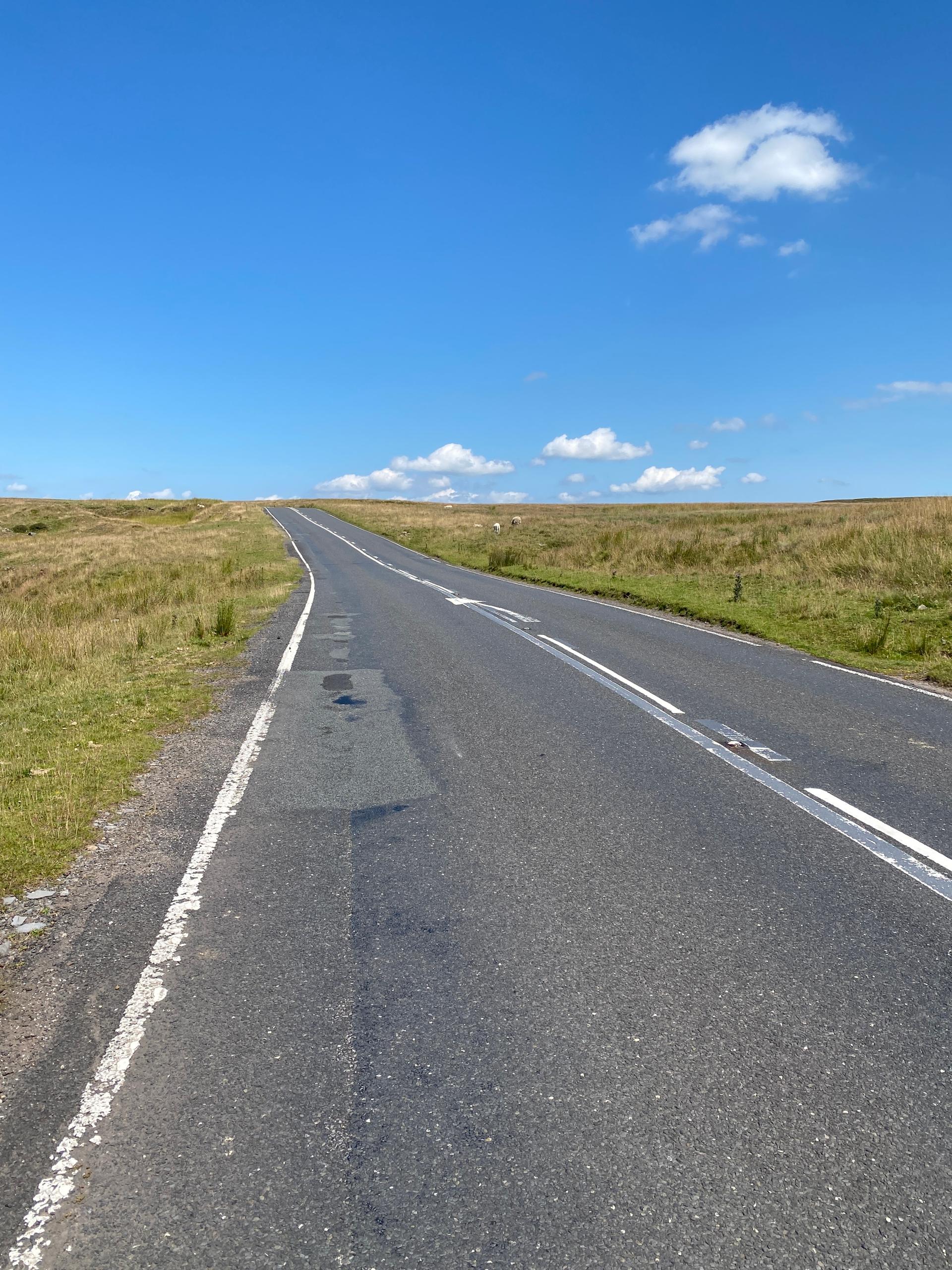
Llangynidr Mountain rises steadily, winding through open Welsh countryside with a gentle insistence. The gradient is consistent, testing legs without overwhelming them, and the climb encourages steady pacing.
The road feels exposed in places, giving glimpses of the surrounding valleys that add perspective to the effort. It’s a climb that balances challenge with approachability.
At the summit, the satisfaction is quiet but clear. This is a climb for riders who enjoy a steady, honest test through wide, open landscapes.
01 / The ascent
Elevation profile
02 / The numbers
Climb statistics
- Distance
- 5.86 km
- Elevation gain
- 408 m
- Average gradient
- 6.8%
- Climb category
- 2
- Start elevation
- 122 m
- Summit elevation
- 522 m
03 / On the ground
Route map
Route overview
Llangynidr Mountain
NP8, UK, Wales, United Kingdom
- Route length
- 5.86 km
- Total ascent
- 408 m
- Average gradient
- 6.8%
04 / Take it home
The climb, as artwork
Turn the route into a personalised topographic print. Choose your colours and composition, then download your artwork.
05 / Keep exploring
Nearby climbs

Côte de Maerdy
1.7 km · 7.7% · 129 m gain
Maerdy, Rhondda Cynon Taff, United Kingdom
27.9 km away · Explore climb →
Symonds Yat
1.8 km · 6.1% · 126 m gain
Ross-on-Wye, England, United Kingdom
40.1 km away · Explore climb →
Black Mountain
7.2 km · 5.3% · 380 m gain
SA19, UK, Wales, United Kingdom
42.3 km away · Explore climb →
Toll Road Porlock Hill
6.7 km · 5.5% · 366 m gain
Porlock, Somerset, United Kingdom
77.8 km away · Explore climb →

Bwlch-y-Groes
4.7 km · 8.3% · 586 m gain
Machynlleth, Wales, United Kingdom
102.9 km away · Explore climb →