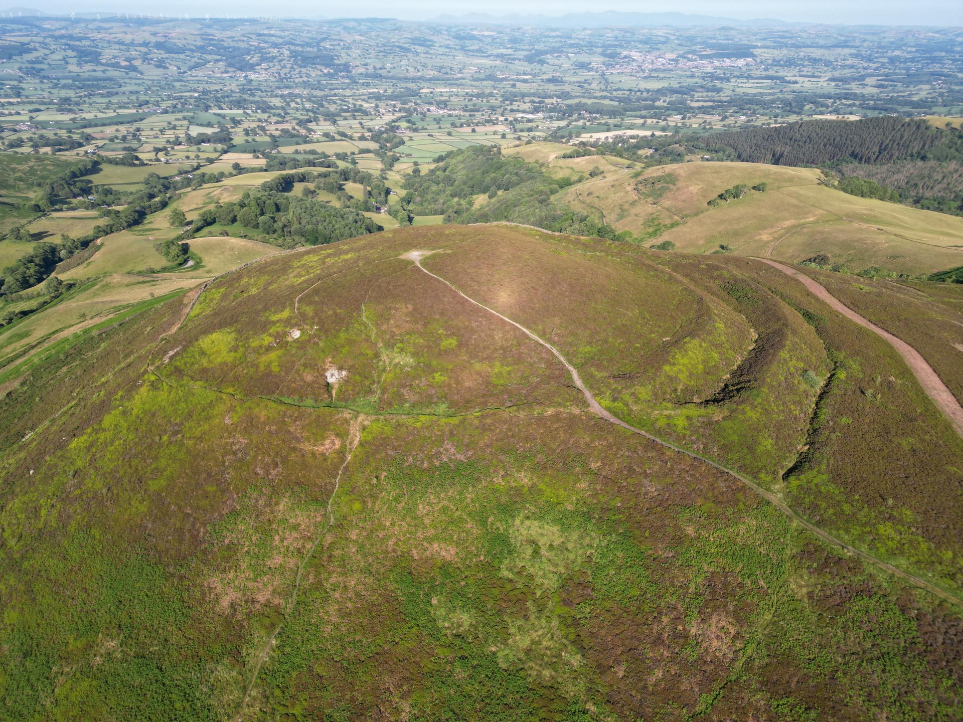
Short, punchy ascent through rural countryside. Sharp gradients demand attention, but summit gives rewarding views and sense of achievement.
01 / The ascent
Elevation profile
02 / The numbers
Climb statistics
- Distance
- 2.27 km
- Elevation gain
- 219 m
- Average gradient
- 9.6%
- Climb category
- 3
- Start elevation
- 117 m
- Summit elevation
- 336 m
03 / On the ground
Route map
Route overview
Moel Arthur
Llangwyfan, Wales, United Kingdom
- Route length
- 2.27 km
- Total ascent
- 219 m
- Average gradient
- 9.6%
04 / Take it home
The climb, as artwork
Turn the route into a personalised topographic print. Choose your colours and composition, then download your artwork.
05 / Keep exploring
Nearby climbs

The Road to Hell
11.2 km · 3.3% · 449 m gain
Denbigh, Wales, United Kingdom
8.3 km away · Explore climb →
The Shelf
4.9 km · 5.4% · 273 m gain
Ruthin, Denbighshire LL15, UK, Wales, United Kingdom
8.6 km away · Explore climb →
Hope Mountain
1.1 km · 11.2% · 128 m gain
Wrexham, Flintshire, United Kingdom
19.3 km away · Explore climb →

Horseshoe Pass
5.9 km · 5.3% · 314 m gain
Llangollen, United Kingdom
22.8 km away · Explore climb →

Bwlch-y-Groes
4.7 km · 8.3% · 586 m gain
Machynlleth, Wales, United Kingdom
51.0 km away · Explore climb →