The climb · United States
About Mount Evans
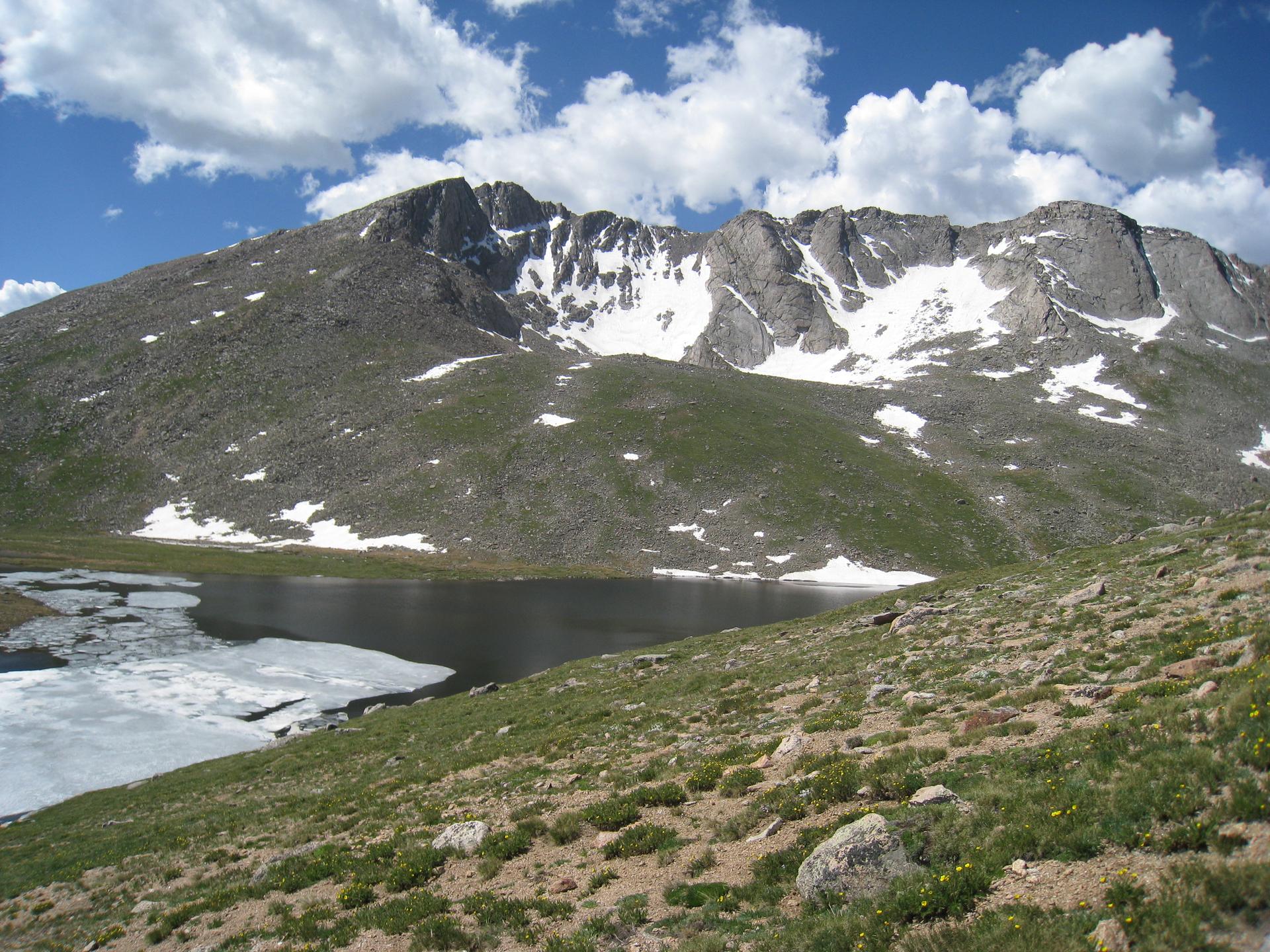
Mount Evans, now officially named Mount Blue Sky, takes you from Idaho Springs to the highest paved road in North America. Nearly 44 kilometres separate the town from the road’s end, and the opening climb on Highway 103 is an exercise in restraint. Follow Chicago Creek into the forest and let the impatient riders go. The gradients are mostly manageable; the distance and thinning air will collect their dues later.
Echo Lake marks the turn onto Highway 5, with a little breathing space before the climb resumes. Above the bristlecone pines of Mount Goliath, the trees give way to open tundra and a much bigger sky. There is nowhere to hide from the wind. By Summit Lake, even a modest effort can leave you searching for breath, and the remaining road is plainly visible on the bare mountainside above.
The final switchbacks lead to a finish around 4,306 metres above sea level, just below the mountain’s actual summit. Keep the pedals turning rather than chasing your usual speed: at this height, the numbers tell only half the story. The Front Range opens beneath you, but leave something for the long descent and carry warm layers. This is a climb whose scale becomes clearer with every kilometre.
01 / The ascent
Elevation profile
02 / The numbers
Climb statistics
- Distance
- 43.76 km
- Elevation gain
- 2,049 m
- Average gradient
- 5.1%
- Climb category
- HC
- Start elevation
- 2,309 m
- Summit elevation
- 4,306 m
03 / On the ground
Route map
Route overview
Mount Evans
Idaho Springs, CO, United States
- Route length
- 43.76 km
- Total ascent
- 2,049 m
- Average gradient
- 5.1%
04 / Take it home
The climb, as artwork
Turn the route into a personalised topographic print. Choose your colours and composition, then download your artwork.
05 / Keep exploring
Nearby climbs

Guanella Pass
16.9 km · 5.3% · 929 m gain
Idaho Springs, CO, United States
15.4 km away · Explore climb →
Swan Mountain Bike Path
4.0 km · 1.7% · 90 m gain
Dillon, CO, United States
43.9 km away · Explore climb →
Tibble Fork Dam
11.0 km · 3.6% · 396 m gain
Cedar Hills, UT, United States
534.8 km away · Explore climb →
Little Mountain Emigration Canyon
12.2 km · 3.3% · 389 m gain
Salt Lake City, UT, United States
545.1 km away · Explore climb →
Mount Potosi Mountain Spring Pass
13.7 km · 4.8% · 658 m gain
Las Vegas, NV, United States
957.3 km away · Explore climb →