The climb · Australia
About Mount Hotham
The Great Alpine Road leaves Harrietville among tall forest, beginning a climb whose character changes markedly before the finish. The Meg interrupts the lower ascent with a sharper pitch, but beyond the first sustained climbing comes a long stretch of much gentler road. That middle section is part of Hotham’s identity: the mountain gives you time to look ahead before asking for another substantial effort.
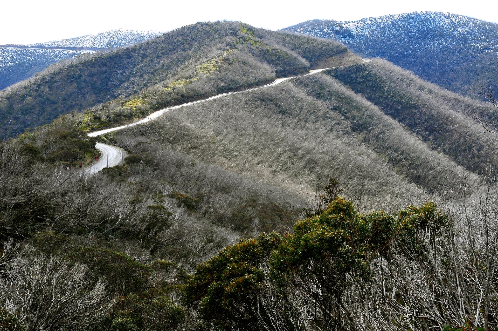
Higher up, the trees thin and the road takes to the ridgeline, opening views across the Victorian Alps. Short descents break up the final climbing, so height gained never quite tells the whole story. CRB Hill and the Diamantina bring steep work back into the ride after the easier middle ground. The contrast between enclosed forest and exposed upper slopes gives this Harrietville approach a strong sense of progression. Hotham is an ascent to appreciate in stages.
01 / The ascent
Elevation profile
02 / The numbers
Climb statistics
- Distance
- 28.73 km
- Elevation gain
- 1,448 m
- Average gradient
- 4.7%
- Climb category
- HC
- Start elevation
- 490 m
- Summit elevation
- 1,848 m
03 / On the ground
Route map
Route overview
Mount Hotham
Harrietville, VIC, Australia
- Route length
- 28.73 km
- Total ascent
- 1,448 m
- Average gradient
- 4.7%
04 / Take it home
The climb, as artwork
Turn the route into a personalised topographic print. Choose your colours and composition, then download your artwork.
05 / Keep exploring
Nearby climbs

Devil's Elbows
5.2 km · 7.7% · 401 m gain
VIC, Australia
190.4 km away · Explore climb →
Wickhams Hill
3.0 km · 6.9% · 207 m gain
Mc Laren Flat, SA, Australia
781.2 km away · Explore climb →
Gode Britisch Cemetery
0.4 km · 6.3% · 23 m gain
Soudan Heights, NSW, Australia
825.7 km away · Explore climb →
Wech Access
1.3 km · 7.7% · 104 m gain
Makarau, Auckland, New Zealand
2440.4 km away · Explore climb →
136 Southside
7.8 km · 5.0% · 410 m gain
國姓鄉, 南投縣, Taiwan
7310.9 km away · Explore climb →