
Pea Royd Lane jumps straight at me. The gradient bites, my lungs tighten. A farmhouse somewhere echoes with life, but I’m focused on each pedal stroke. The climb doesn’t let you hide. Reaching the top, the quiet fields spread below, and the satisfaction is sharp and immediate. It’s intense, characterful, and leaves a mark on my legs.
01 / The ascent
Elevation profile
02 / The numbers
Climb statistics
- Distance
- 1.16 km
- Elevation gain
- 145 m
- Average gradient
- 12.5%
- Climb category
- 4
- Start elevation
- 151 m
- Summit elevation
- 297 m
03 / On the ground
Route map
Route overview
Pea Royd Lane
Stocksbridge, England, United Kingdom
- Route length
- 1.16 km
- Total ascent
- 145 m
- Average gradient
- 12.5%
04 / Take it home
The climb, as artwork
Turn the route into a personalised topographic print. Choose your colours and composition, then download your artwork.
05 / Keep exploring
Nearby climbs

Holme Moss
4.5 km · 7.0% · 319 m gain
Holmbridge, England, United Kingdom
17.3 km away · Explore climb →

Knott Hill
1.8 km · 6.7% · 124 m gain
30.0 km away · Explore climb →
Rowsley Bar
1.1 km · 12.5% · 135 m gain
Rowsley, England, United Kingdom
32.5 km away · Explore climb →
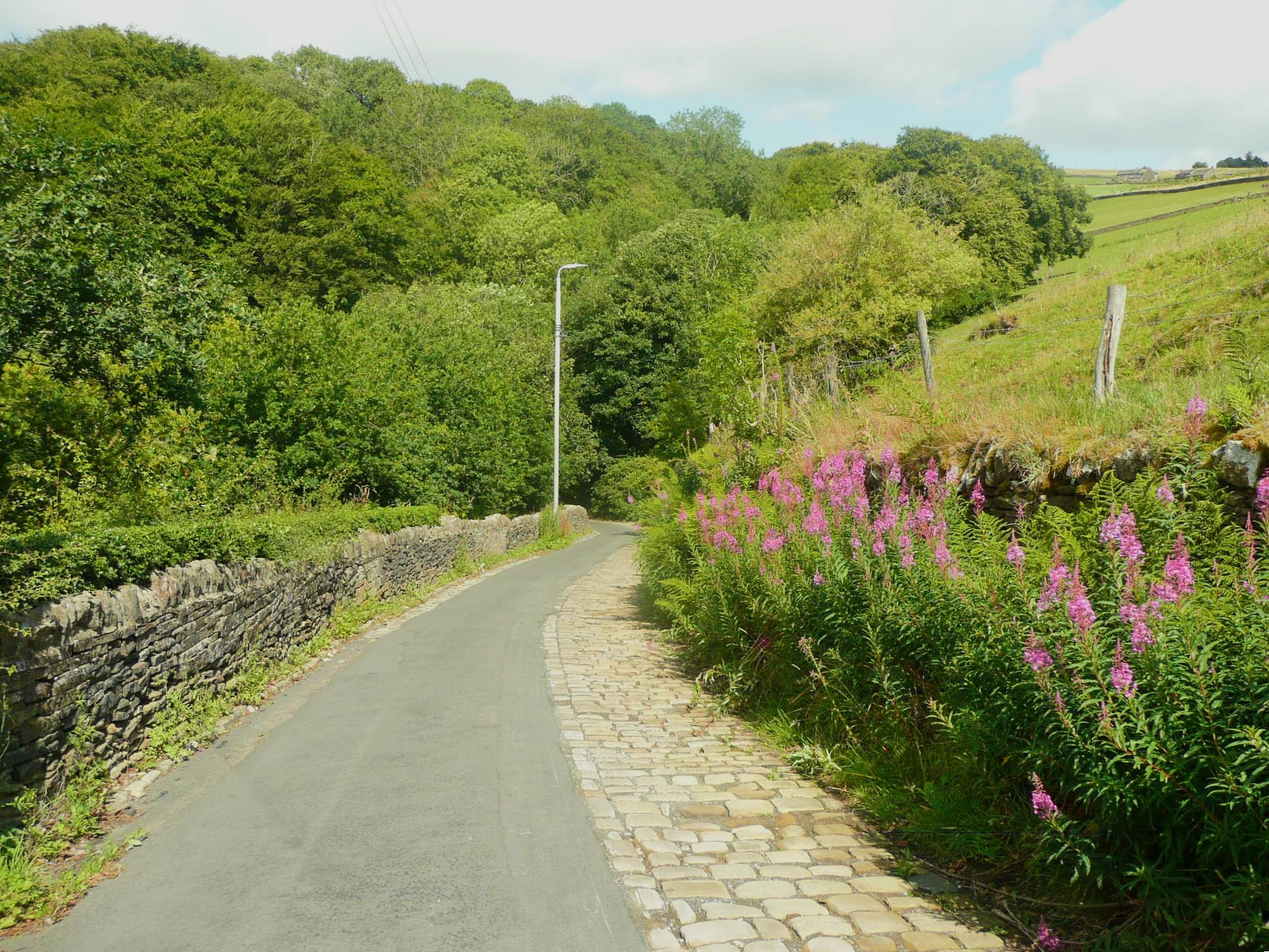
Halifax Lane
1.7 km · 11.5% · 189 m gain
Luddenden Foot, England, United Kingdom
35.8 km away · Explore climb →
Jenkin Chapel and Pym's Chair
1.5 km · 10.8% · 158 m gain
Macclesfield, England, United Kingdom
36.5 km away · Explore climb →