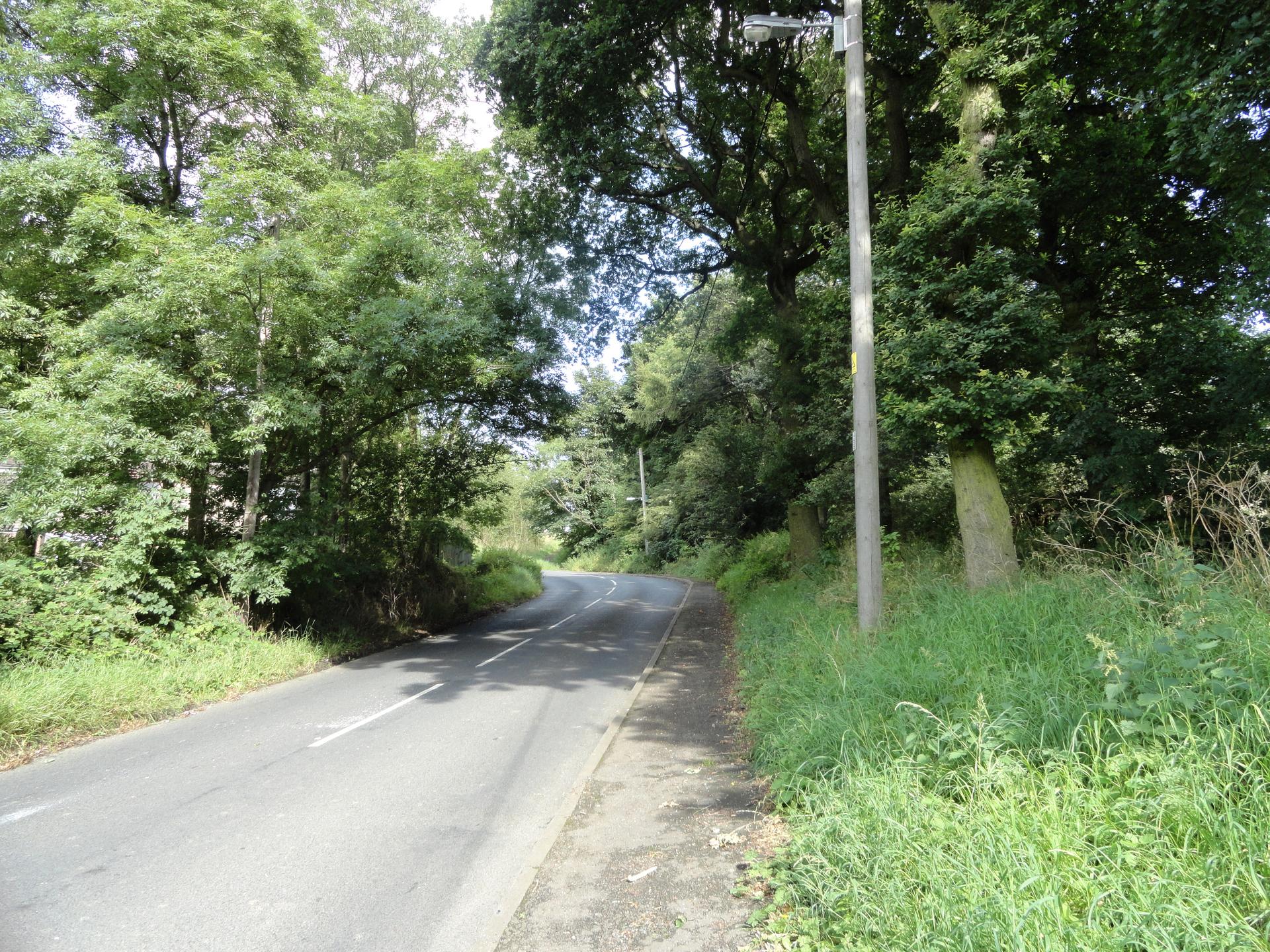
Peth Bank is a short but sharp climb in Northern England, averaging 8.2% over 1.6 kilometers. The ascent starts immediately with steep ramps, testing leg strength from the outset.
Midway, gradients approach 26%, requiring a careful gear selection. The surrounding landscape features pastoral farmland and stone walls, offering a classic northern English countryside feel.
At the summit, riders enjoy a satisfying view of the rolling hills. Peth Bank is an intense, compact climb ideal for strength training and short bursts.
01 / The ascent
Elevation profile
02 / The numbers
Climb statistics
- Distance
- 1.66 km
- Elevation gain
- 137 m
- Average gradient
- 8.2%
- Climb category
- 4
- Start elevation
- 116 m
- Summit elevation
- 253 m
03 / On the ground
Route map
Route overview
Peth Bank
Lanchester, England, United Kingdom
- Route length
- 1.66 km
- Total ascent
- 137 m
- Average gradient
- 8.2%
04 / Take it home
The climb, as artwork
Turn the route into a personalised topographic print. Choose your colours and composition, then download your artwork.
05 / Keep exploring
Nearby climbs

Peat Hill
3.5 km · 7.3% · 260 m gain
27.6 km away · Explore climb →
Chapel Fell
4.0 km · 8.3% · 334 m gain
Bishop Auckland, UK, England, United Kingdom
29.8 km away · Explore climb →

The Great Dun Fell
7.3 km · 10.2% · 631 m gain
Appleby In Westmorland, Cumbria, United Kingdom
52.9 km away · Explore climb →
Buttertubs
5.0 km · 5.4% · 269 m gain
Hawes, United Kingdom
63.6 km away · Explore climb →
Fleet Moss
5.4 km · 5.9% · 320 m gain
DL8, UK, England, United Kingdom
65.3 km away · Explore climb →