The climb · Spain
About Sierra de la Pandera
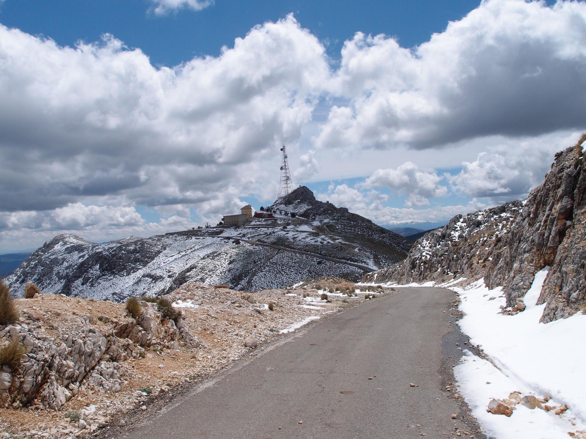
Sierra de la Pandera rises from the rolling plains of Andalusia with a relentless character. The climb begins steadily, weaving through dry hills and olive groves, before the gradient asserts itself in long, sustained ramps that test endurance and mental strength.
The road twists and turns, offering glimpses of the surrounding landscape, and the ever-present sun in southern Spain makes hydration and pacing critical. Each hairpin feels like a battle, with the summit seemingly teasing you with every bend.
At the top, riders are greeted with wide panoramic views of the Andalusian countryside. Sierra de la Pandera is long, steep, and uncompromising, rewarding those who persist with both physical accomplishment and scenic beauty.
01 / The ascent
Elevation profile
02 / The crux
Where it gets difficult
Choose a distance to find the steepest continuous section of the climb.
Steepest 500 m average
13.8%
Where to find it
4.20–4.70 km from start
- Net height gained
- 69 m
- Section length
- 500 m
03 / The numbers
Climb statistics
- Distance
- 8.23 km
- Elevation gain
- 686 m
- Average gradient
- 8.0%
- Climb category
- 1
- Start elevation
- 1,146 m
- Summit elevation
- 1,812 m
04 / Your effort
How long would it take?
Enter the power you could hold for the whole climb. We calculate a moving time from the elevation profile and the forces you ride against.
Use your intended climbing effort, rather than FTP unless you can hold it for the predicted duration.
Bike + kit includes clothing, bottles and luggage.
Advanced settings
Defaults represent a road-bike scenario. Adjust these settings to match your tyres, drivetrain and riding position.
Modelled moving time
46 min
- Power throughout
- 225 W
- Average speed
- 10.7 km/h
Based on the 8.23 km elevation profile. Assumes steady power, with no stops, braking or drafting. Rounded to the nearest minute.
The science behind the calculation
For each part of the stored profile, we solve the steady-state cycling power equation for speed, then add distance ÷ speed across the climb. Gravity uses rider + equipment weight; available power is W/kg × rider weight. This uses the profile’s distance and elevation together, without mixing in another route’s metrics.
Power × efficiency = gravity + rolling resistance + air resistance + bearing losses
The resistance equations are adapted from Martin et al. (1998), Validation of a Mathematical Model for Road Cycling Power. Air density changes with profile altitude using NASA’s standard-atmosphere model. This calculator’s adaptation has not been independently validated.
It predicts travel at the power you enter, including on descents. It does not model acceleration, cornering, braking, traffic, wind, changing weather or fatigue. At altitude, choose power you can sustain there: thinner air reduces drag, but this model does not predict its effect on your ability to produce power. Profile quality and assumed equipment settings also affect the result.
05 / On the ground
Route map
Route overview
Sierra de la Pandera
Valdepeñas de Jaén, Andalucía, Spain
- Route length
- 8.23 km
- Total ascent
- 686 m
- Average gradient
- 8.0%
06 / Take it home
The climb, as artwork
Turn the route into a personalised topographic print. Choose your colours and composition, then download your artwork.
07 / Keep exploring
Nearby climbs

Pico Veleta
37.4 km · 6.6% · 2505 m gain
Pinos Genil, Andalusia, Spain
59.1 km away · Explore climb →
Alto del Conjuro
12.2 km · 4.6% · 592 m gain
Lújar, AL, Spain
103.2 km away · Explore climb →
Puerto de Peñas Blancas
14.3 km · 6.3% · 916 m gain
Estepona, Andalucía, Spain
177.3 km away · Explore climb →
Alto de Tentudía
4.1 km · 7.7% · 314 m gain
Calera de León, Extremadura, Spain
225.5 km away · Explore climb →
Reconco
4.5 km · 8.8% · 400 m gain
Biar, Valencian Community, Spain
291.0 km away · Explore climb →