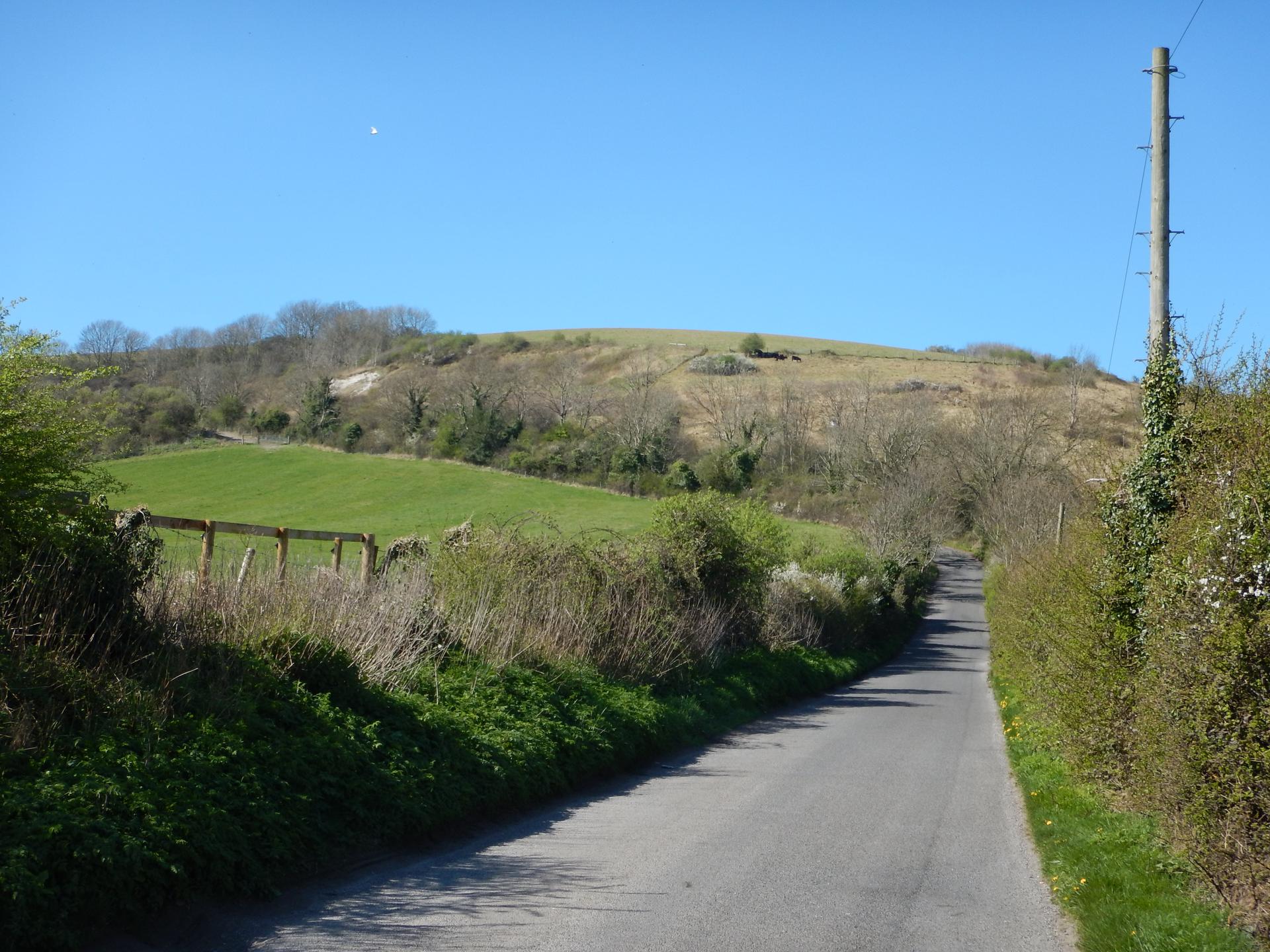
The climb · United Kingdom
About Steyning Bostal
Collections
Steyning Bostal is short, sharp, and uncompromising. The gradient begins abruptly, forcing immediate commitment from the legs. The narrow lane snakes through hedgerows, giving little room to ease off.
Every metre feels earned as the road pinches and rises in quick succession. The effort is intense but brief, a pure test of punchy power.
Summiting brings immediate relief and a surge of satisfaction. This climb is perfect for riders who like a rapid, demanding challenge that leaves a mark in a few minutes.
01 / The ascent
Elevation profile
02 / The numbers
Climb statistics
- Distance
- 1.56 km
- Elevation gain
- 121 m
- Average gradient
- 10.4%
- Climb category
- 4
- Start elevation
- 22 m
- Summit elevation
- 143 m
03 / On the ground
Route map
Route overview
Steyning Bostal
Steyning, England, United Kingdom
- Route length
- 1.56 km
- Total ascent
- 121 m
- Average gradient
- 10.4%
04 / Take it home
The climb, as artwork
Turn the route into a personalised topographic print. Choose your colours and composition, then download your artwork.
05 / Keep exploring
Nearby climbs

Elm Grove, Brighton
1.2 km · 7.3% · 88 m gain
Brighton, The City of Brighton and Hove, United Kingdom
15.0 km away · Explore climb →
Barhatch Lane
2.5 km · 6.0% · 158 m gain
31.6 km away · Explore climb →
Station Hill
0.6 km · 6.1% · 37 m gain
Tonbridge, Kent, UK, England, United Kingdom
49.2 km away · Explore climb →
York’s Hill
1.9 km · 6.3% · 123 m gain
Sevenoaks Weald, Kent, United Kingdom
50.7 km away · Explore climb →
Whitchurch Hill
1.2 km · 7.6% · 89 m gain
Reading, Oxfordshire, United Kingdom
85.8 km away · Explore climb →