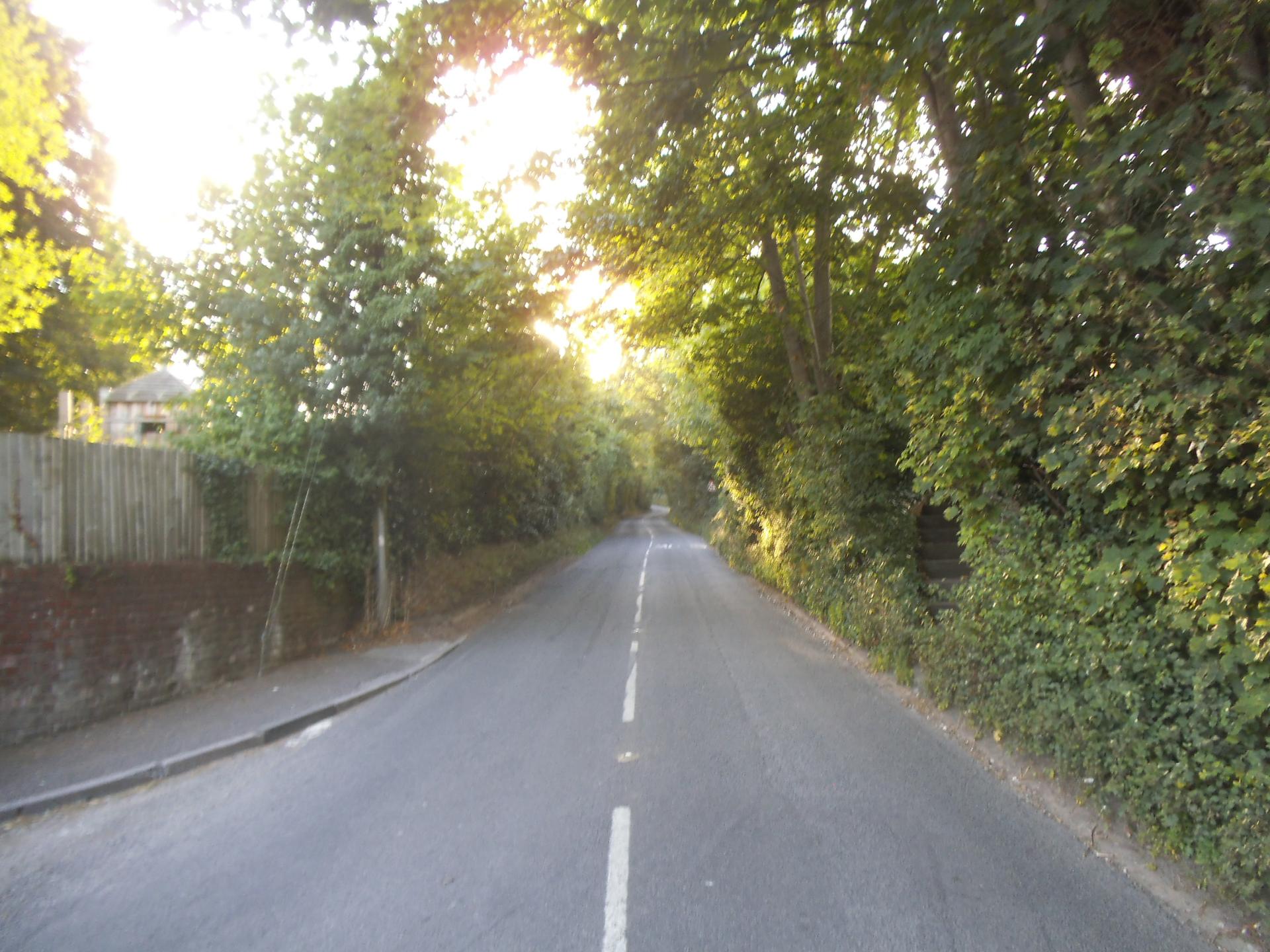
Streatley Hill is short but punishing. From the bottom, the gradient rises sharply, and it’s impossible to avoid feeling the sting in your legs immediately.
The effort is concentrated, with no opportunity to relax, and the top seems to approach more slowly than expected. Every pedal stroke counts.
At the summit, the relief is palpable. This is a climb for riders who enjoy brief, sharp efforts that leave a clear memory of their intensity.
01 / The ascent
Elevation profile
02 / The numbers
Climb statistics
- Distance
- 0.93 km
- Elevation gain
- 104 m
- Average gradient
- 11.2%
- Climb category
- 4
- Start elevation
- 61 m
- Summit elevation
- 165 m
03 / On the ground
Route map
Route overview
Streatley Hill
Streatley, England, United Kingdom
- Route length
- 0.93 km
- Total ascent
- 104 m
- Average gradient
- 11.2%
04 / Take it home
The climb, as artwork
Turn the route into a personalised topographic print. Choose your colours and composition, then download your artwork.
05 / Keep exploring
Nearby climbs

Whitchurch Hill
1.2 km · 7.6% · 89 m gain
Reading, Oxfordshire, United Kingdom
5.7 km away · Explore climb →
Kingston Blount
1.2 km · 8.2% · 101 m gain
Lewknor, Oxfordshire, United Kingdom
20.6 km away · Explore climb →
Brill Hill
2.0 km · 5.1% · 101 m gain
Oakley, England, United Kingdom
31.9 km away · Explore climb →
Barhatch Lane
2.5 km · 6.0% · 158 m gain
62.4 km away · Explore climb →
York’s Hill
1.9 km · 6.3% · 123 m gain
Sevenoaks Weald, Kent, United Kingdom
95.7 km away · Explore climb →