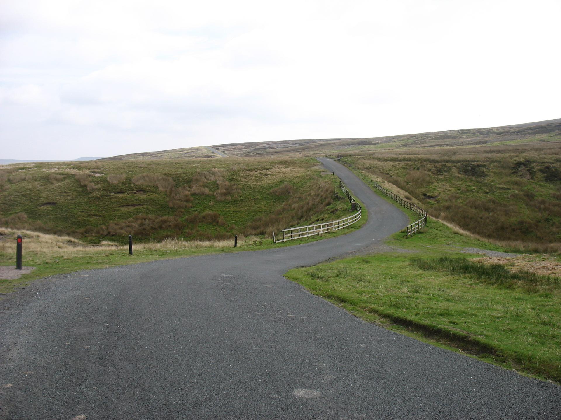
A long, gradual pull through open moorland. The wind cuts across the plateau, testing focus as much as legs. By the summit, the sense of exposure and quiet makes the climb feel larger than its gradients suggest.
01 / The ascent
Elevation profile
02 / The numbers
Climb statistics
- Distance
- 10.00 km
- Elevation gain
- 271 m
- Average gradient
- 1.9%
- Climb category
- Uncategorized
- Start elevation
- 318 m
- Summit elevation
- 533 m
03 / On the ground
Route map
Route overview
Tan Hill
Richmond, UK, England, United Kingdom
- Route length
- 10.00 km
- Total ascent
- 271 m
- Average gradient
- 1.9%
04 / Take it home
The climb, as artwork
Turn the route into a personalised topographic print. Choose your colours and composition, then download your artwork.
05 / Keep exploring
Nearby climbs

Buttertubs
5.0 km · 5.4% · 269 m gain
Hawes, United Kingdom
16.9 km away · Explore climb →
Fleet Moss
5.4 km · 5.9% · 320 m gain
DL8, UK, England, United Kingdom
18.6 km away · Explore climb →
Peat Hill
3.5 km · 7.3% · 260 m gain
34.6 km away · Explore climb →
Chapel Fell
4.0 km · 8.3% · 334 m gain
Bishop Auckland, UK, England, United Kingdom
35.0 km away · Explore climb →

The Great Dun Fell
7.3 km · 10.2% · 631 m gain
Appleby In Westmorland, Cumbria, United Kingdom
38.1 km away · Explore climb →
