Cycling stories
Europe’s highest cycling roads: 25 approaches into thin air
From the southern bends of Hochtor to the broken road beneath Veleta, a countdown through Europe’s high cycling country. Twenty-five approaches, familiar passes and roads that carry on beyond the tarmac.
By Montivelo · · 18 min read
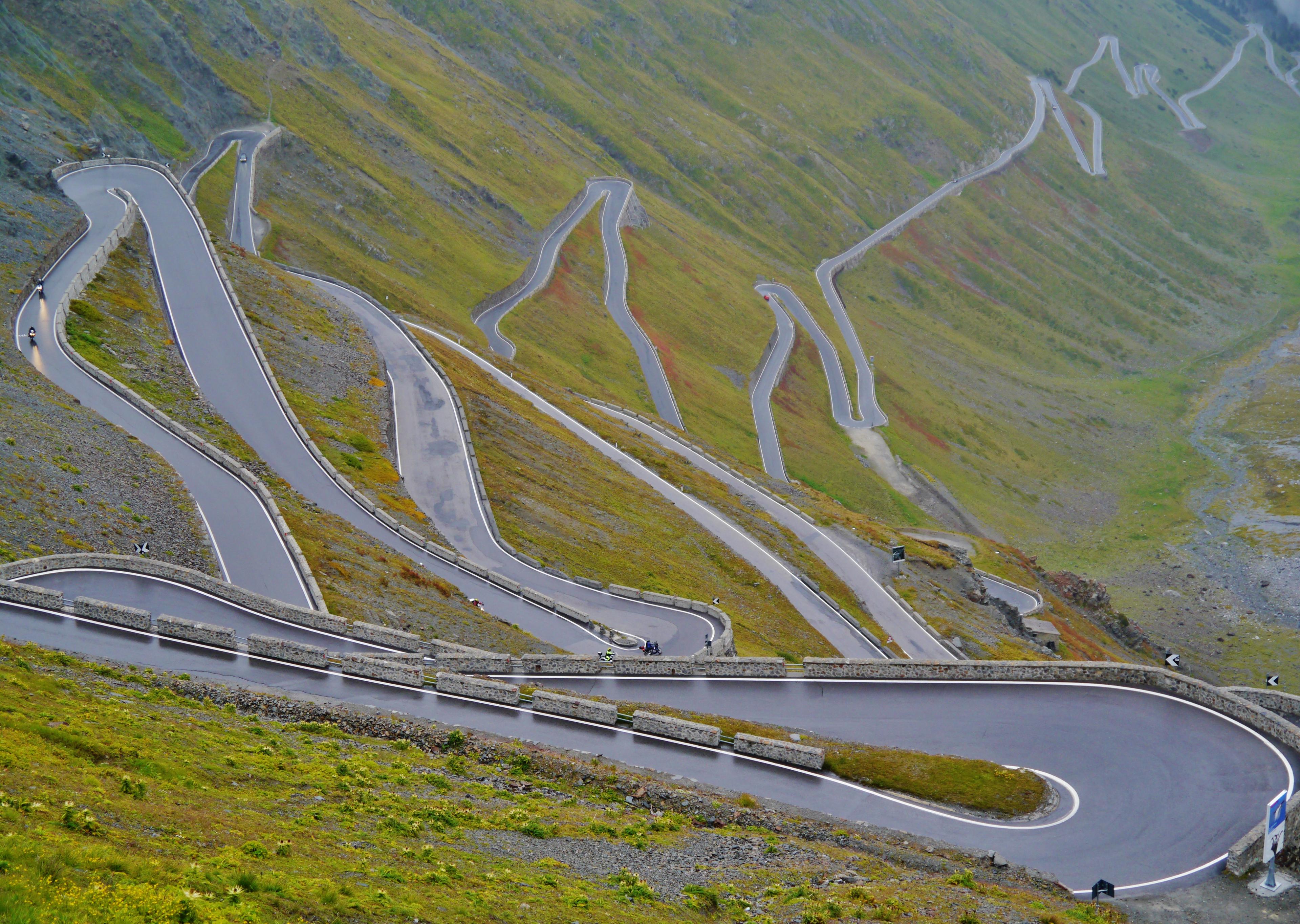
The road at the Stelvio Pass. Photo by Zairon on Wikimedia Commons · CC BY-SA 4.0

The climbs across Europe
Above the last village, mountain roads begin to reveal their purpose. A pass carries traffic into another valley. A glacier road serves a ski station. A narrow strip of concrete ends at a dam. For a cyclist, each offers a different kind of arrival, even when the height of the destination is what first catches the eye.
This countdown brings together 25 European approaches, ordered by recorded route peak and checked on 18 October 2026. It counts approaches rather than distinct summits, so the Galibier, Stelvio and Veleta appear more than once. It includes rough upper roads alongside paved passes, and is an editorial selection rather than an exhaustive survey of every high track in Europe.
The recorded route peak is the source track’s measured maximum, rounded to metres. It is not a surveyed summit height: different approaches to the same pass can carry different figures. The order preserves those source measurements, while the length and gradient describe the linked catalogue ascent. The map marks verified ascent starts.
25. Grossglockner — Hochtor from Pockhorn
Pockhorn, Ktn.
Recorded route peak 2,512 m
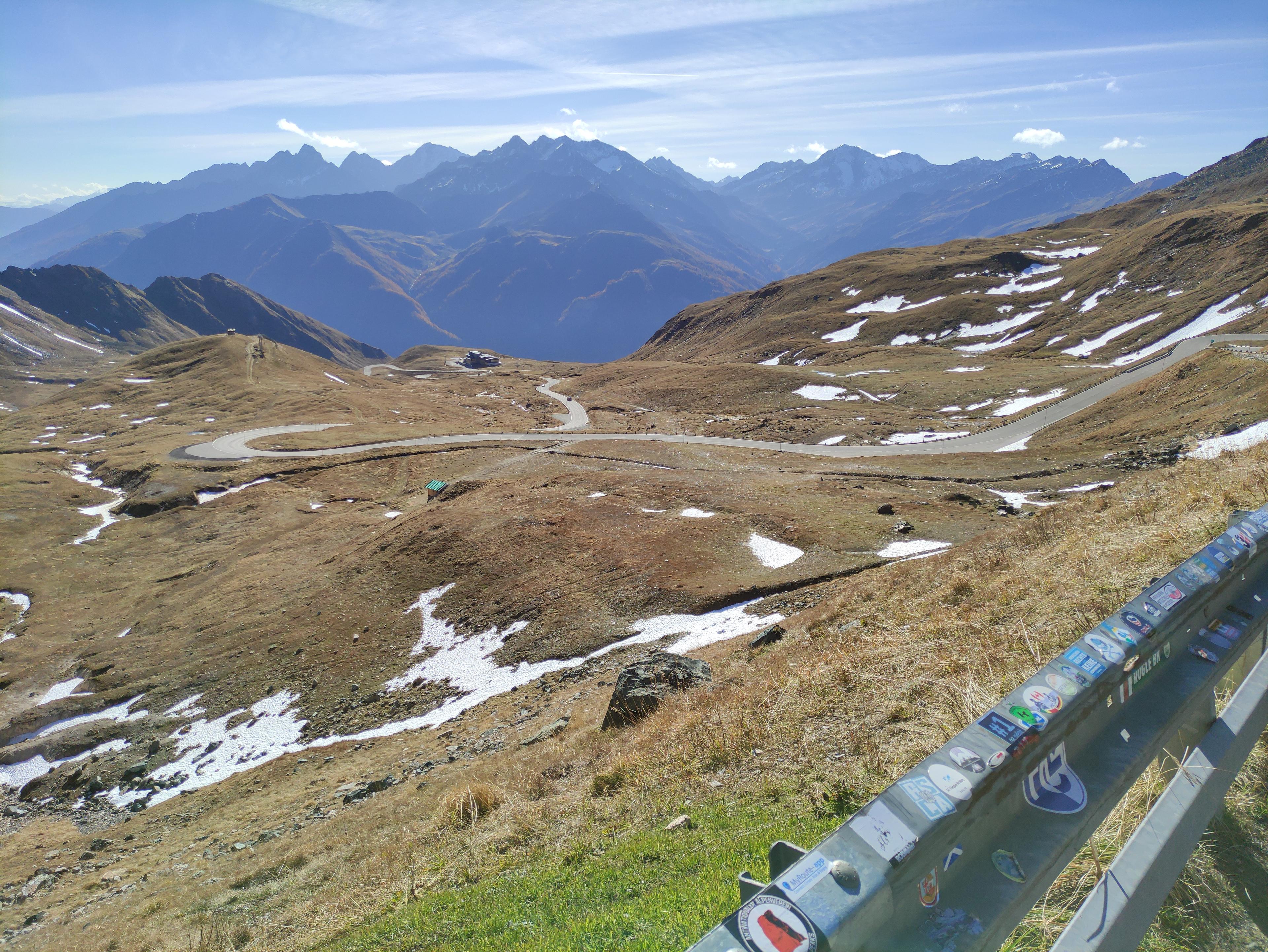

Pockhorn gives the Grossglockner road a southern beginning below Heiligenblut. The ascent passes through the village before the bends carry it into the mountain country above. Farther up, open slopes replace the lower valley, and the road begins to reveal its own line across the hillside: a succession of turns leading towards the ridge.
The destination is the southern portal of the Hochtor tunnel. Here the high road crosses between Carinthia and Salzburg, while the view back gathers the bends just climbed beneath the surrounding mountains. This is a different arrival from the cobbled Edelweißspitze spur reached from Fusch, which appears next in the countdown. The shared Grossglockner name covers two distinct approaches and finishes.
The linked ascent stops at the tunnel entrance, rather than continuing through it. That endpoint gives the route a clear identity, but it says nothing about whether the road is currently open. At the 18 October 2026 check, the operator displayed a closure notice for cyclists until further notice; confirm that restriction has been lifted before planning a ride.
24. Grossglockner — Edelweißspitze from Fusch
Fusch An Der Großglocknerstraße, Austria
Recorded route peak 2,516 m


The final road to Edelweißspitze leaves the main Grossglockner route and climbs onto cobbles. After the long ascent from Fusch, that change of surface makes the arrival unusually tangible: the road becomes narrower and more immediate just as the surrounding mountain country opens out. The destination is the viewpoint above the high road, rather than the Hochtor crossing farther south.
This is a branch with its own finish. Continuing along the main road would produce a different ride, even though both journeys might be called a Grossglockner ascent. Here the interest lies in the climb to Edelweißspitze itself, where a short summit spur completes the much longer approach from the valley.
Access takes precedence over any ranking. At the 18 October 2026 check, the road operator’s page displayed a closure notice for cyclists until further notice. Confirm that restriction has been lifted before planning an ascent.
23. Nufenenpass — Airolo
Airolo, Switzerland
Recorded route peak 2,543 m


From Airolo, the eastern approach to the Nufenen follows Val Bedretto before the road turns towards the pass. The valley gives the climb room to develop. Settlements and the lower road belong to the first part of the journey; the upper bends lead into a much barer landscape, with the crossing eventually replacing the valley as the main point of reference.
Nufenen is also Passo della Novena, a connection between Ticino and Valais. From this side, the ride begins in the Italian-speaking canton and reaches a road that descends towards Ulrichen. The western ascent is a separate undertaking, with a different profile and a different relationship to the valley below.
There is a particular satisfaction in a pass approached along a long valley: the final bends gather together a journey that began well before the steepest ground. Here the high road is the conclusion to the Bedretto approach, rather than an isolated climb placed above it.
22. Colle del Nivolet — Locana
Locana, Piemonte
Recorded route peak 2,545 m
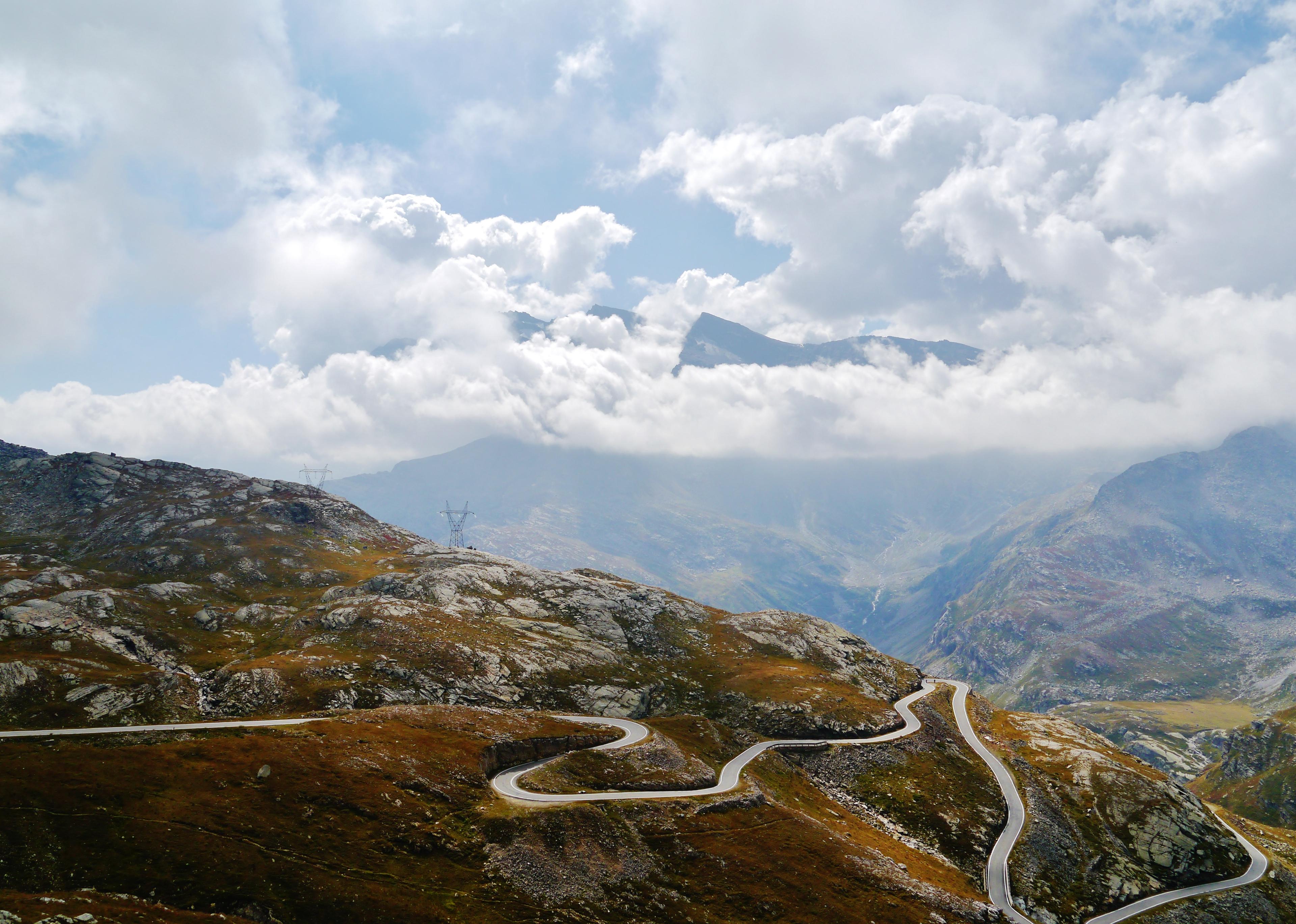

Locana gives Nivolet its long beginning. The route follows the Orco valley towards Noasca and Ceresole Reale before reaching the upper road in Gran Paradiso National Park. This is the full valley approach, including the old-road section, rather than the shorter ascent beginning around Ceresole that is often used to describe the climb.
Higher up, the Serrù and Agnel lakes give the road a new set of landmarks. Water, dams and the open basin replace the more enclosed valley below. The bends above the lakes are part of Nivolet’s appeal: the road rises through a landscape in which the route already travelled becomes visible beneath it.
Nivolet is an arrival in high country rather than an ordinary paved crossing into the next valley. That changes the shape of the day: the return belongs to the same mountainside. The national park manages access to the upper road, so check its current arrangements, including any temporary cycling restrictions, before setting out.
21. Rila — Kalin dam road
Pastra, Bulgaria
Recorded route peak 2,546 m
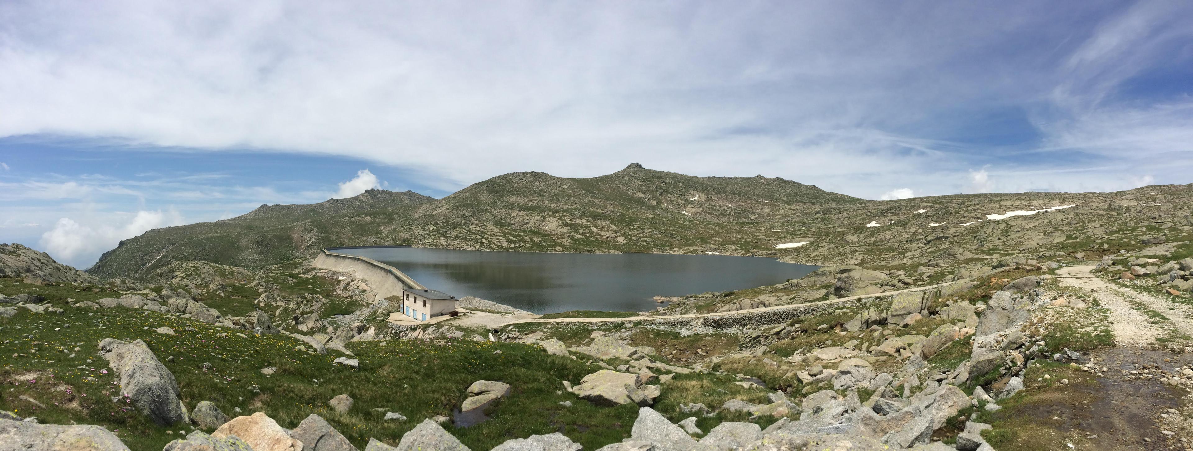

Rila brings a different surface and a different purpose to the list. From the Pastra area in Bulgaria, the Kalin dam road climbs towards the high reservoirs on narrow concrete. This is infrastructure for the mountain’s water works, with the roughness and directness of a service road rather than the geometry of a major Alpine pass.
The sustained gradient gives the ascent much of its character. Woodland on the lower mountain yields to more open ground, while broken concrete makes the descent part of the undertaking too. The linked route follows the full upper approach; the monastery road elsewhere in the Rila mountains is a different destination.
Current permission to use the dam road has not been established. Earlier accounts describe private access and a staffed checkpoint, so obtain explicit permission before attempting it. Its place in this countdown records a documented ascent; it does not establish a right of passage.
20. Passo di Gavia — Bormio
Bormio, Italy
Recorded route peak 2,579 m


Gavia from Bormio begins with the inhabited Valfurva approach. The road passes towards Santa Caterina before the upper ascent takes over, so the climb has a long introduction: valley villages, wooded slopes, then a road that becomes increasingly occupied with reaching the crossing.
Above Santa Caterina, the landscape changes more quickly. The upper road runs into open mountain country, with the buildings below giving way to the terrain around the pass. This northern side offers a different progression from the narrow climb out of Ponte di Legno, even though both roads eventually meet at the same high saddle.
The selected ascent ends at the pass area; the source route continues a little beyond its finish. That small difference is a reminder to distinguish the crossing from nearby refuges and stopping places. On Gavia, the road itself is the connection between two valleys, while the places to pause are scattered around it.
19. Col du Galibier — Valloire
Valloire, Rhône-Alpes
Recorded route peak 2,611 m

Valloire lets the Galibier begin again. Riders arriving over the Télégraphe have already climbed out of the Maurienne and descended into the village, but this entry starts with the separate ascent from Valloire. The road follows the valley towards Bonnenuit and Plan Lachat before the upper mountain changes its direction and scale.
At Plan Lachat, the bends lift the road away from the valley floor. The approach becomes more exposed, and the pass begins to feel like a place above the landscape rather than somewhere at its far end. The succession of lower settlements has finished; the remaining road belongs to grass, stone and the crossing ahead.
Seen from Valloire, the Galibier has a clear two-part shape: the valley approach and the steeper upper climb. Its place here should be read on those terms. The longer Télégraphe combination appears separately, preserving the difference between riding one mountain and arriving at it with another already in the legs.
18. Col du Galibier — Villar-d’Arène
Villar D'Arêne, PACA
Recorded route peak 2,617 m
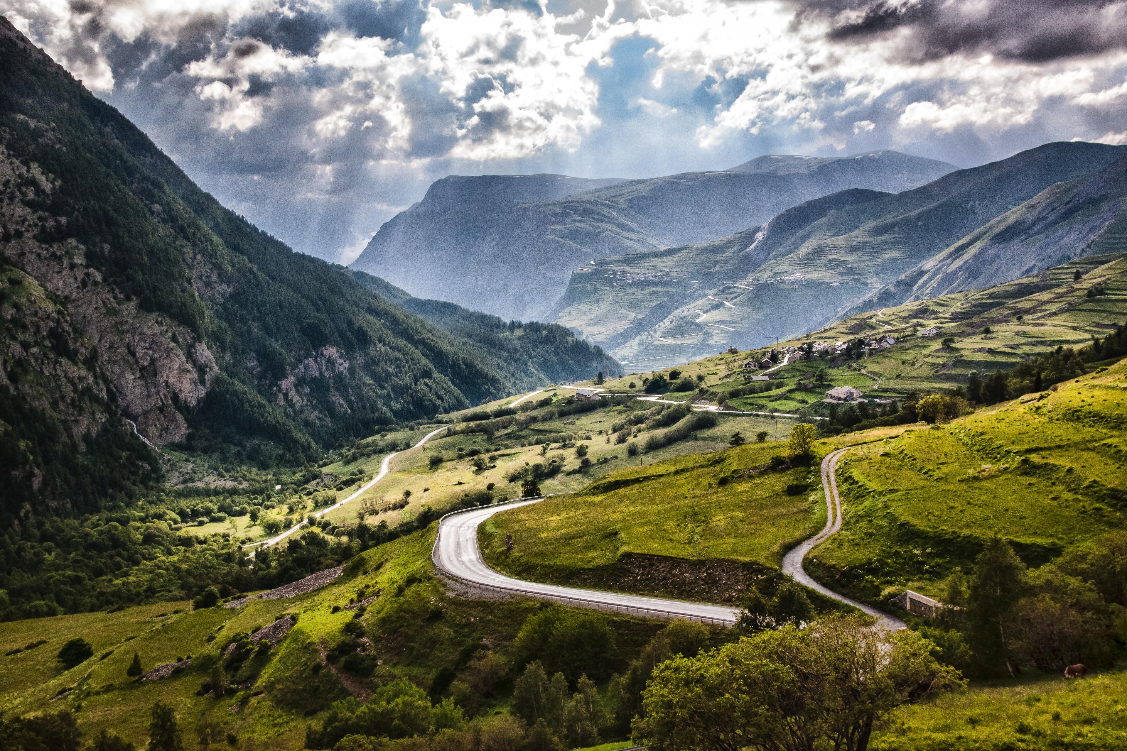

Villar-d’Arène offers the Galibier a western beginning. The road first climbs towards the Col du Lautaret, with the mountain country around La Meije giving this approach a character of its own. It is a journey towards one crossing before the route turns to seek a second, higher one.
At the Lautaret, the Galibier road leaves the east–west valley route and climbs north. The two halves remain easy to distinguish on a map: the approach from Villar-d’Arène, then the upper road shared with riders coming from Briançon. Beyond the junction, a much wider Alpine journey is reduced to the bends above the pass.
The attraction of this version is that transition. It gives the Lautaret a role within the ascent, rather than using it simply as the place where climbing begins. The selected segment covers both parts, reaching the Galibier without confusing the western approach with the much longer ride from the Maurienne.
17. Passo di Gavia — Ponte di Legno
Ponte di Legno, Lombardia
Recorded route peak 2,622 m

On the Ponte di Legno side, Gavia feels like a smaller road taking on a very large mountain. The ascent leaves the town and climbs through woodland before reaching the exposed upper slopes. There is less of a broad valley introduction than on the Bormio approach, and the narrow carriageway keeps the hillside close.
The Giro’s passage in snow on 5 June 1988 gives Gavia one of cycling’s most enduring images. Erik Breukink won the stage to Bormio; Andy Hampsten took the pink jersey after the crossing. Those are separate achievements, often compressed into a single memory of the American riding through the storm.
That history belongs to this side of the pass and the descent beyond it. An ordinary ascent needs no attempt to recreate the conditions. The road’s own character is sufficient: woodland, narrow bends and an upper mountain where the paved route looks increasingly slight against the slopes it crosses.
16. Col du Galibier — Briançon
Briançon, Provence-Alpes-Côte d'Azur
Recorded route peak 2,626 m


Briançon gives the Galibier its long southern approach. The route follows the Guisane valley towards the Col du Lautaret before turning onto the final climb. The mountains remain ahead for a long time, while the road accumulates distance through the settled valley beneath them.
At the Lautaret, the ride changes scale. The route to the Galibier peels away from the main valley road and begins the upper bends. A crossing that has been part of the horizon becomes a much more immediate destination, with the last ascent sitting above the valley journey already completed.
This entry starts in the Briançon approach used by the source route, rather than using a longer segment beginning elsewhere in town. Its character is still that of the full southern journey: a gradual movement up the Guisane followed by the concentrated upper climb. The short Lautaret-only entry tells just that final chapter.
15. Col du Galibier — Lautaret
Le Monêtier-les-Bains, Provence-Alpes-Côte d'Azur
Recorded route peak 2,633 m

Beginning at the Col du Lautaret puts a rider straight into the Galibier’s upper country. There is no lower valley to leave behind within this entry. The junction, the open slopes and the road climbing away from the main crossing provide the whole setting from the start.
The ascent is compact beside the other Galibier approaches, but its high starting point gives it a distinct character. The route climbs above the Lautaret towards the summit road, where the final bends complete a crossing that riders from Briançon and Villar-d’Arène have been working towards for much longer.
That is the useful difference between height and the size of a climb. A short segment can reach almost the same high destination as a much longer approach. Here the figures describe the ascent from the Lautaret itself, preserving its identity as a complete upper road rather than presenting it as the entire ride from either valley.
14. Télégraphe and Galibier
Saint-Michel-de-Maurienne, Savoy
Recorded route peak 2,634 m
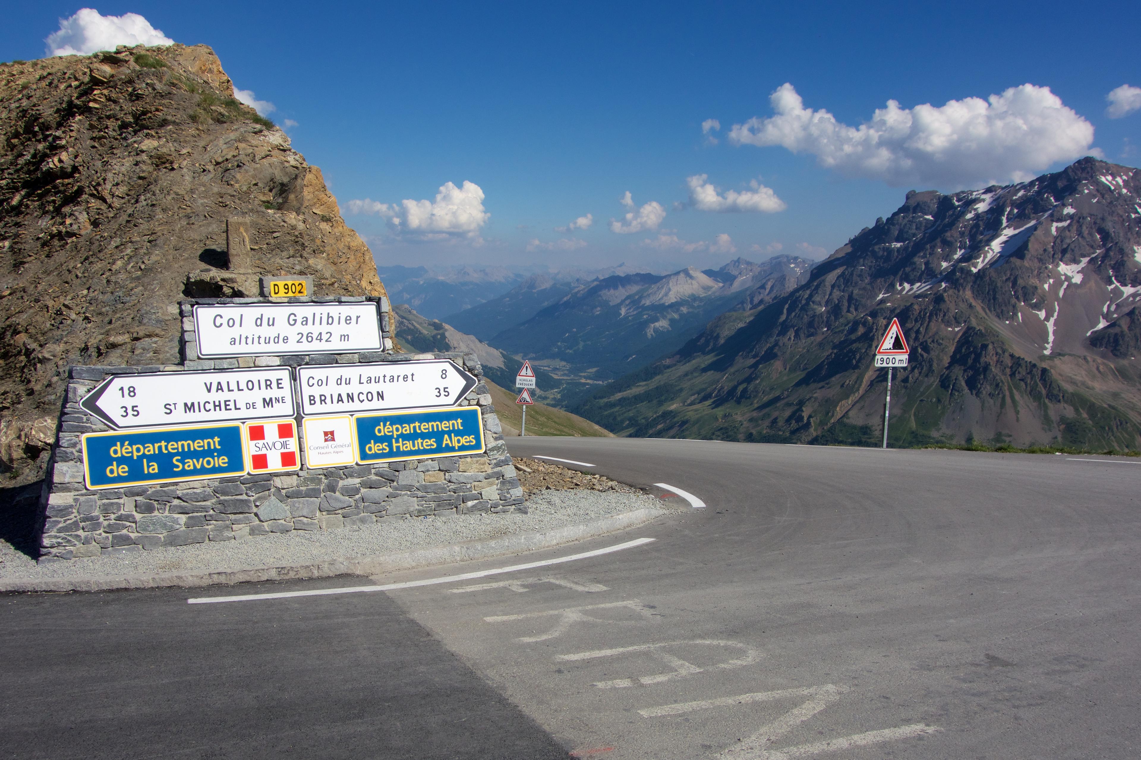
From Saint-Michel-de-Maurienne, the Galibier is a journey over two cols. The Télégraphe comes first, lifting the road out of the main valley and into woodland. Its summit offers a pause in the climbing, followed by a descent towards Valloire and the start of another mountain.
That descent is essential to the route’s character. The profile has an interruption because the landscape does: reaching the Télégraphe does not deliver a rider to the foot of the Galibier’s final slopes. Valloire stands between the two crossings, a village in which the next ascent can briefly seem like a new ride.
Beyond it come Bonnenuit, Plan Lachat and the upper bends. The combined route makes the Galibier feel distant for much longer than the Valloire-only ascent does. Its scale comes from the sequence of valley, wooded pass, descent and high crossing, rather than from pretending the road climbs continuously from start to finish.
13. Col Agnel — France
Château-Ville-Vieille, Provence-Alpes-Côte d'Azur
Recorded route peak 2,652 m
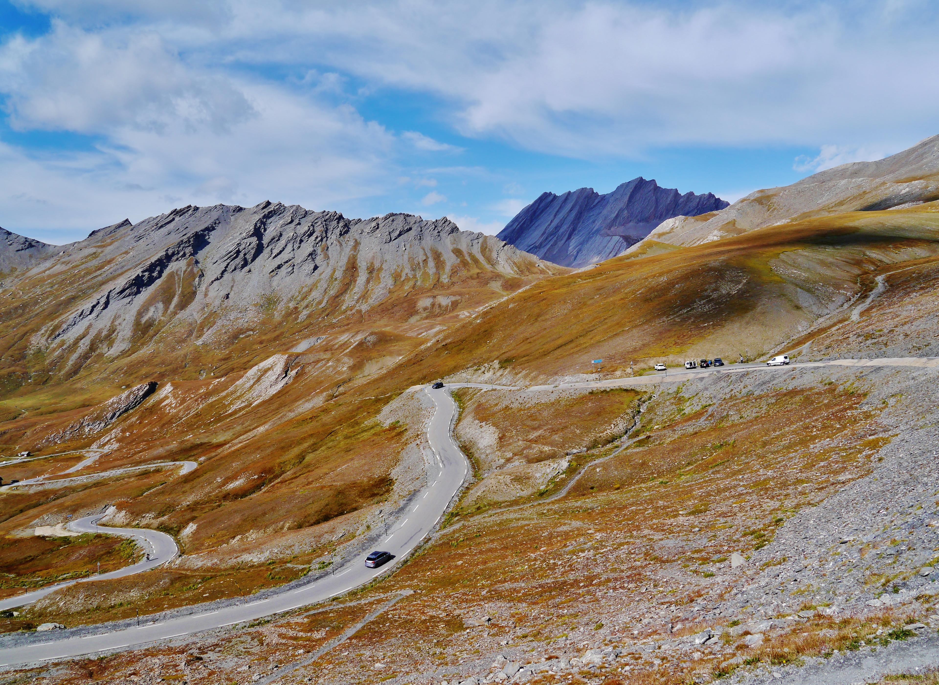

The French side of Agnel climbs out of the Queyras through Molines and towards the upper Aigue Agnelle valley. The road’s destination is a border crossing, with Italy beyond the saddle. The villages give the lower ascent its human scale before the upper valley begins to narrow the view towards the col.
The approach has a different rhythm from the steep final road above Chianale on the Italian side. Here the journey through the French valley matters as much as the last part of the ascent. Buildings, pasture and then bare mountain give the road a sequence of settings, with the frontier waiting at the end.
Agnel and Agnello are two names for the same crossing, but they describe very different rides when used with a starting point. This entry follows the French approach. Its recorded peak differs from the Italian entry because the ranking preserves separate route measurements, not because the border has two summit heights.
12. Cime de la Bonette — Saint-Étienne-de-Tinée
Saint Étienne De Tinée, PACA
Recorded route peak 2,687 m


Saint-Étienne-de-Tinée gives the Bonette its southern approach. The road climbs out of the Tinée valley towards increasingly open country, eventually reaching the pass beneath the Cime. It is a long movement away from the inhabited valley, with the upper mountain taking over well before the final loop.
The distinction between col and Cime matters here. The through-road reaches the Col de la Bonette; the additional road loops around the mountain above it. The linked ascent includes that upper loop, rather than ending at the lower crossing or borrowing the profile of the separate Col approach.
The loop gives the climb an extra act after the apparent arrival at the pass. The road continues onto exposed ground, turns around the mountain and rejoins the crossing. It is that extension, shared in its destination with the Jausiers approach, that earns the Cime its identity as a high road of its own.
11. Passo dello Stelvio — Bormio
Bormio, Lombardia
Recorded route peak 2,691 m
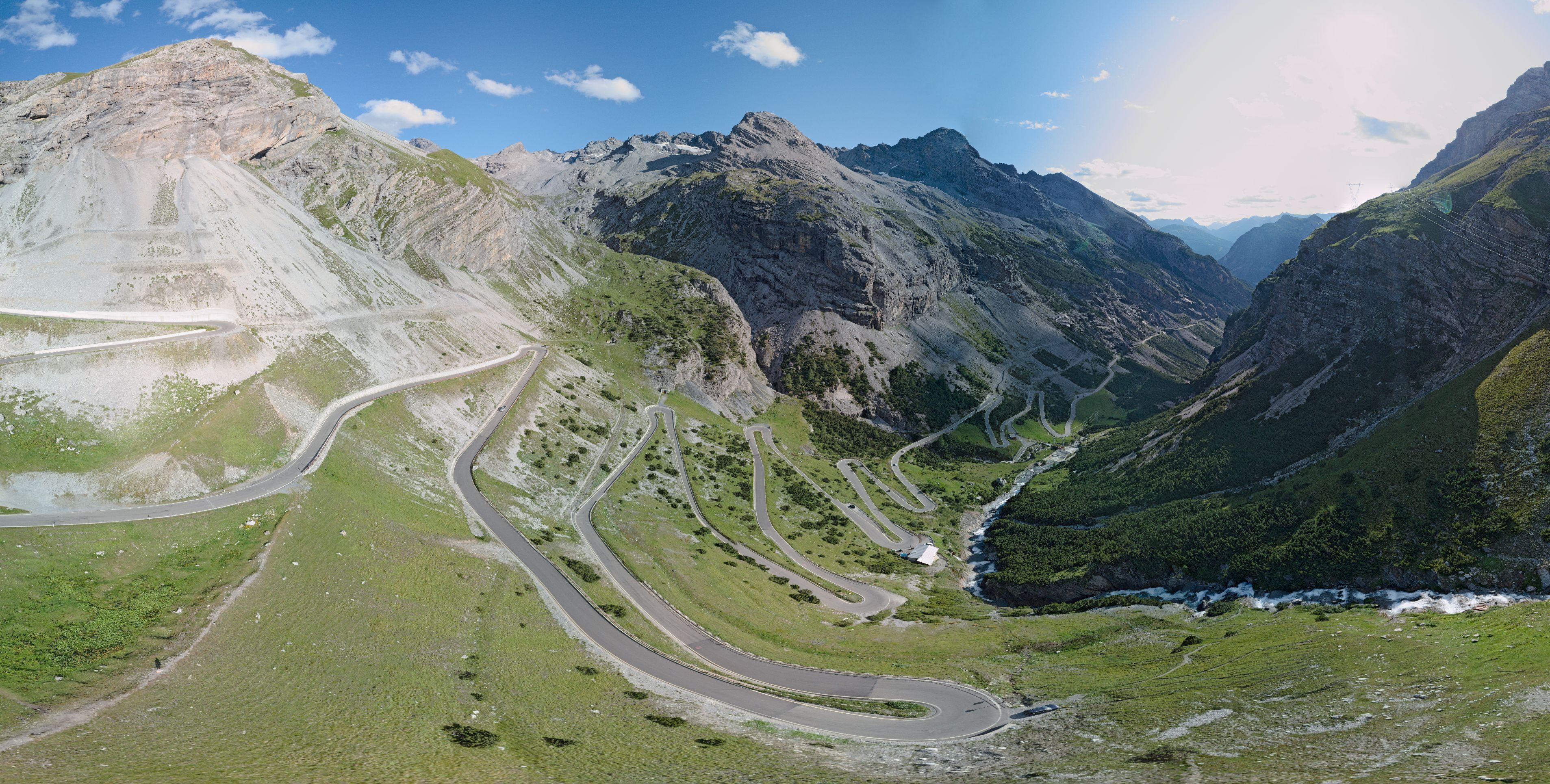

From Bormio, the Stelvio climbs towards the Braulio valley. The road’s relationship with the mountain changes as it gains height: lower bends lead into a more enclosed passage, with tunnels and galleries forming part of the ascent before the upper road opens out.
This is a different face of the Stelvio from the familiar view of the Prato hairpins stacked beneath the pass. The Bormio side has its own sequence of turns and its own approach to the final mountainside. Farther up, the junction with the Umbrail route brings another valley’s road into the same climb.
That meeting is part of the Stelvio’s appeal. Three approaches can reach the same pass while producing quite different days. Bormio’s version belongs to the Braulio road and its enclosed middle section; the final shared road does not make it interchangeable with either Prato or Santa Maria.
10. Colle dell’Agnello — Italy
Sampeyre, Piemonte
Recorded route peak 2,715 m
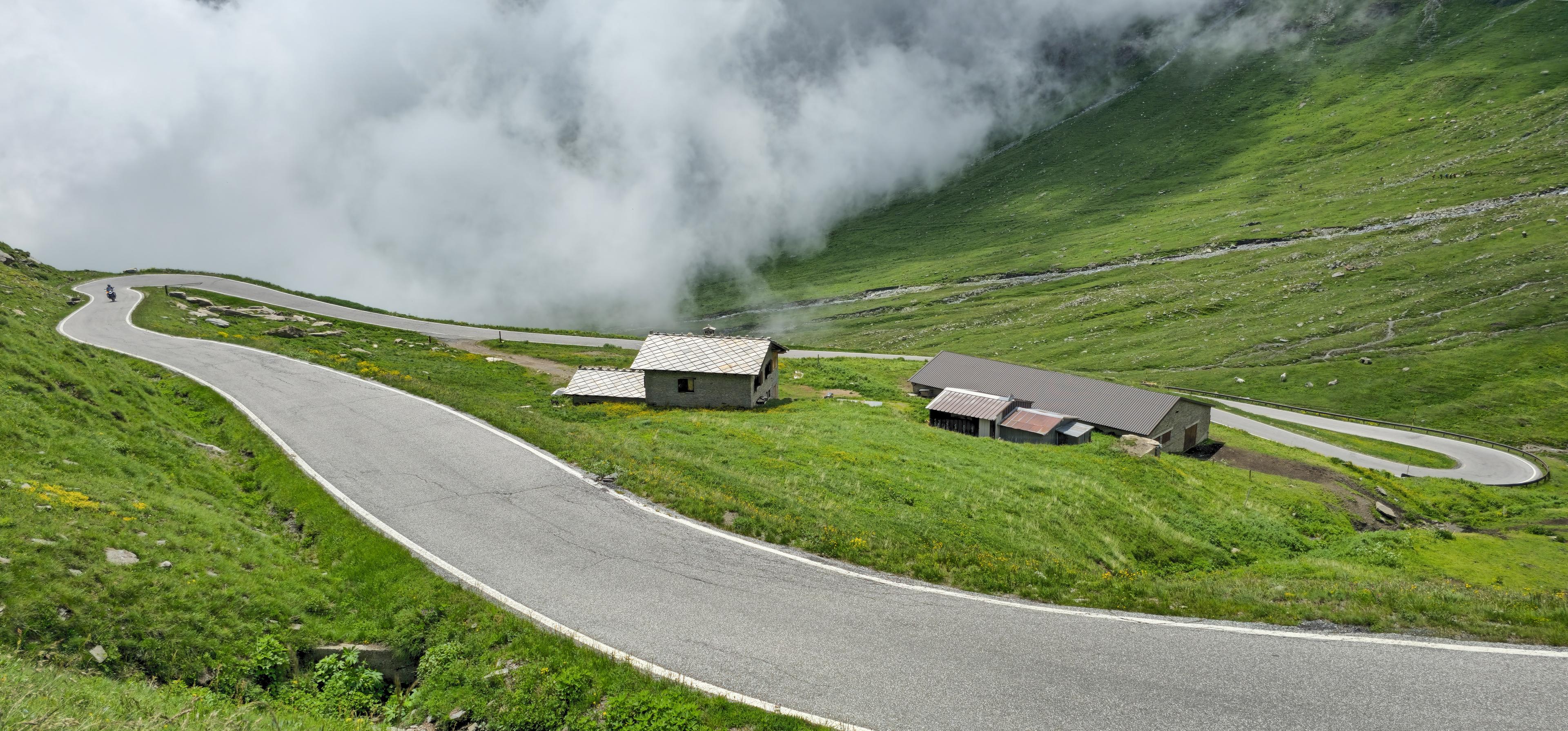

Sampeyre gives the Italian Agnello approach a long beginning in the Varaita valley. The route continues towards Casteldelfino, Pontechianale and Chianale before the road commits to the upper mountain. The linked catalogue ascent begins a little lower than the ranking’s source route, retaining that fuller valley journey.
Above Chianale, the crossing takes on a much more immediate presence. The road leaves the village behind and climbs into open slopes towards the French border. The steep upper section is a different proposition from the lower valley road, a change in character that a single average gradient can only partly describe.
There is a useful contrast within the ascent itself: a valley with a succession of places, followed by a high road with one obvious destination. At the col, the view opens into the Queyras. The French descent belongs to another landscape, while the approach just completed remains folded into the valley behind.
9. Passo dello Stelvio — Umbrail
Santa Maria Val Müstair, Graubünden
Recorded route peak 2,744 m


Santa Maria Val Müstair supplies the Stelvio with its Swiss approach. The road climbs towards the Umbrail through woodland and then open mountain country, reaching the border above the valley. It is an ascent with a first destination of its own before the Stelvio enters the final part of the journey.
At the Umbrail, the route continues onto the Italian road and turns uphill towards the Stelvio. Stopping at the Umbrail pass would leave that last ascent unfinished. The selected outdoor segment carries on to the Stelvio summit area, with slightly different start and finish points from the ranking’s source track.
The route is memorable for the joining of roads as much as for the final arrival. A valley climb in Switzerland becomes part of the ascent from Bormio, and the shared upper bends complete it. The Umbrail is both a pass reached along the way and the reason this version of the Stelvio deserves its own entry.
8. Kaunertaler Gletscherstraße
Prutz, Austria
Recorded route peak 2,745 m


Kaunertal takes the high-road idea deep into a valley. The linked approach begins at Prutz and follows the road towards the glacier, passing the Gepatsch reservoir before the upper bends begin to gather height more insistently. The long waterside section gives the ride a scale that the final ascent alone would miss.
Beyond the reservoir, the road climbs towards the glacier centre. The surroundings become increasingly open and stony, while the bends reveal more of the valley already travelled. The road exists to reach a destination in the high mountains, so the glacier road’s end replaces the prospect of another valley beyond a pass.
Its character comes from that whole sequence: lower valley, reservoir and upper road. A shorter route beginning farther into Kaunertal can share the same finish while leaving out much of the journey. The catalogue link here retains the long Prutz approach, with a slightly different lower start from the source track.
7. Passo dello Stelvio — Prato
Prato Allo Stelvio, Trentino-Alto Adige
Recorded route peak 2,758 m
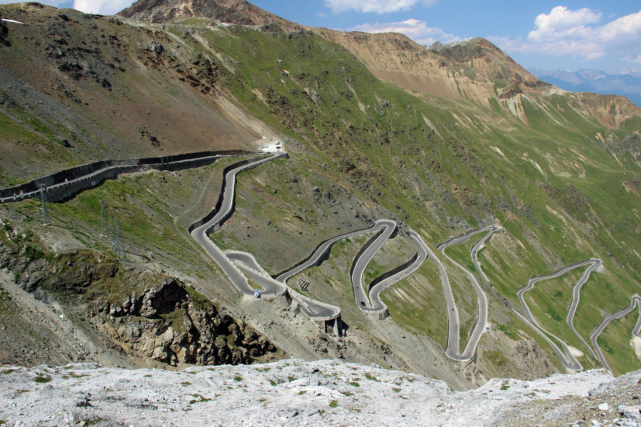
The Prato side supplies the Stelvio’s most recognisable geometry. After the approach through the valley and woodland, the upper hairpins climb the open mountainside in a pattern that can be read from the pass. It is one of those roads whose shape has become almost as familiar as its name.
When the Giro first crossed the Stelvio in 1953, Fausto Coppi took the stage and the pink jersey on the penultimate day. That history gives the crossing a place in racing memory, but the attraction of the Prato ascent is also visible without knowing a result: the road appears to keep finding another way up the same face.
The catalogue segment begins lower than the source track, preserving the fuller Prato approach. Its ascent includes the journey towards the famous upper bends, rather than reducing the Stelvio to the view from the summit. The photograph is an ending; the ride has a much longer beginning.
6. Col de l’Iseran — Val-d’Isère
Val D'Isère, France
Recorded route peak 2,759 m


Val-d’Isère is already a mountain settlement when the Iseran ascent begins. The road continues towards Le Fornet and Pont Saint-Charles before climbing onto the open slopes above. Starting here makes the pass a distinct upper ascent, separate from the much longer journey out of Bourg-Saint-Maurice.
Beyond the last buildings, the road works towards the crossing through a landscape increasingly defined by stone and the surrounding ridges. The northern approach has room to change direction and reveal the valley behind it, with the pass gradually becoming the organising point of the view ahead.
The linked segment starts beyond part of the lower town approach used in the ranking. It still records the Val-d’Isère side, rather than the climb from Bonneval. Both roads reach the same saddle, but they bring different valleys, gradients and sequences of landmarks to the arrival.
5. Col de l’Iseran — Bonneval-sur-Arc
Bonneval-sur-Arc, Auvergne-Rhône-Alpes
Recorded route peak 2,759 m
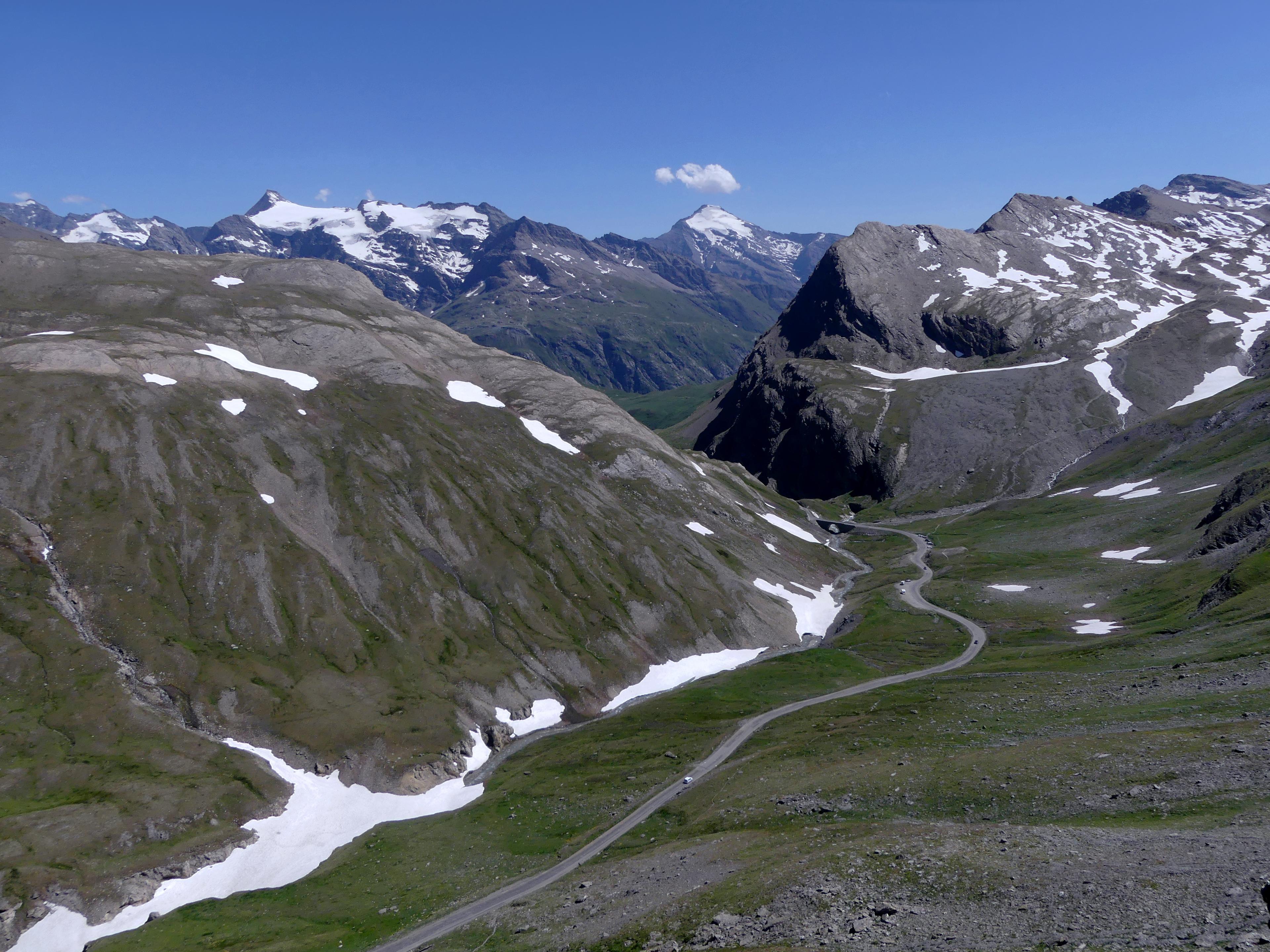

Bonneval-sur-Arc gives the Iseran a compact village beginning beneath a very large mountain. Stone buildings and slate roofs mark the lower end of the ascent. Above them, the road climbs away from the Haute Maurienne towards the crossing into the Tarentaise, losing the scale of the village surprisingly quickly.
The southern approach is steeper on average than the Val-d’Isère side. Its upper road occupies an exposed mountainside, where the line of the ascent becomes easier to pick out against grass and rock. The attraction lies in that direct movement from the village below to a high crossing above it.
Iseran’s two entries sit together in the ranking, their recorded peaks almost identical. They remain separate rides. From Bonneval, the pass is the way out of the upper Arc valley; from Val-d’Isère, it is the way over from the Isère. The same summit sign closes two quite different approaches.
4. Cime de la Bonette — Jausiers
Jausiers, Provence-Alpes-Côte d'Azur
Recorded route peak 2,774 m
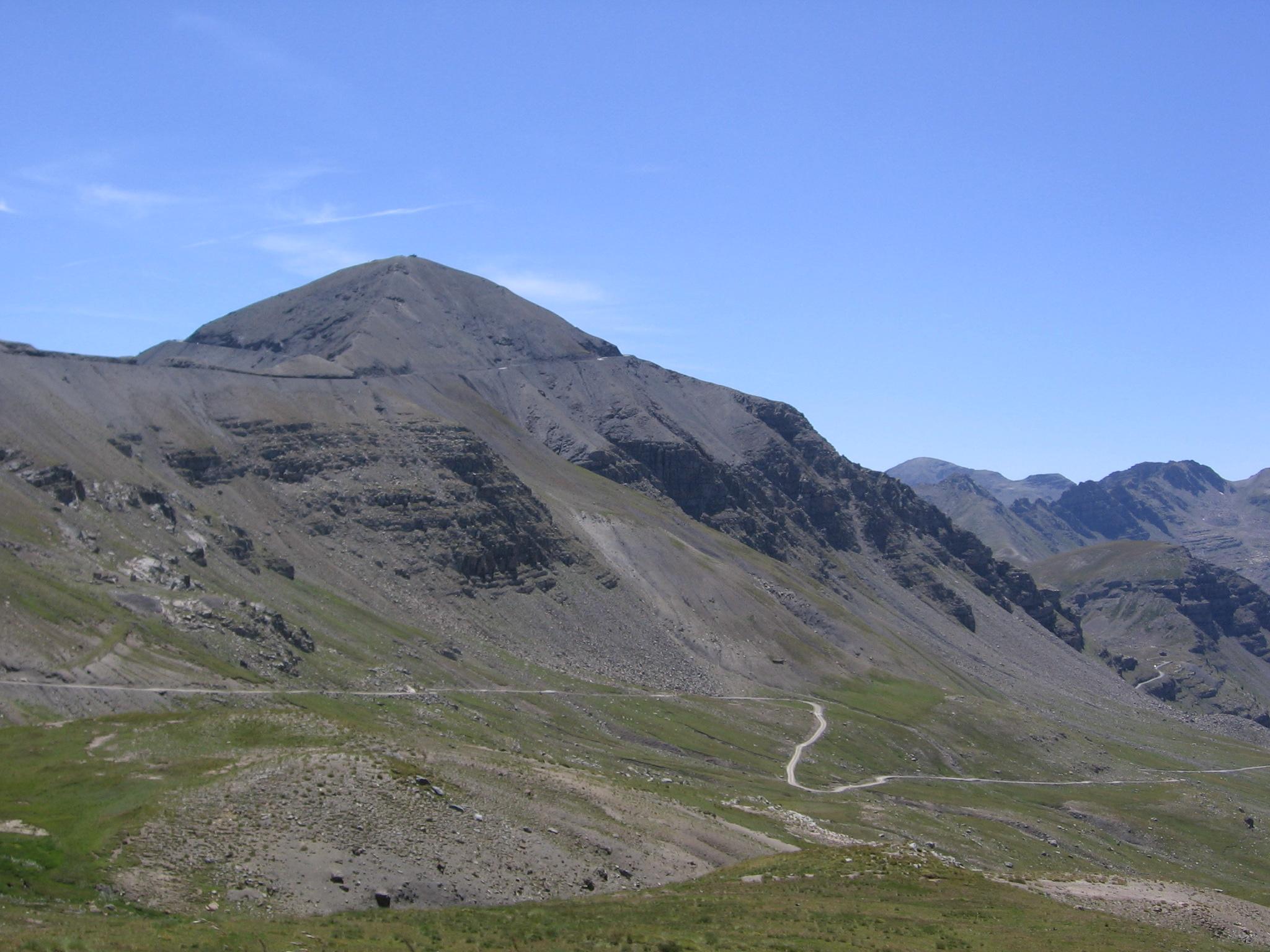

Jausiers begins the northern Bonette ascent in the Ubaye valley. The road rises through the mountains towards Restefond and the Col de la Bonette, with open upper slopes gradually replacing the lower approach. The crossing is a destination, but it is also the point from which the Cime road offers its extra climb.
The upper loop circles the mountain above the col. Reaching it changes the nature of the arrival: the bicycle road continues beyond the pass, while the actual mountain summit remains higher still and is reached on foot. Those are three different places, even when the name Bonette is used for all of them.
The linked route includes the Cime extension from Jausiers. Its appeal is the sense of the road continuing after the conventional pass has been reached. The Tinée lies on the other side, but the loop gives a rider another reason to remain on the mountain before beginning the descent.
3. Rettenbachferner
Sölden, Austria
Recorded route peak 2,806 m
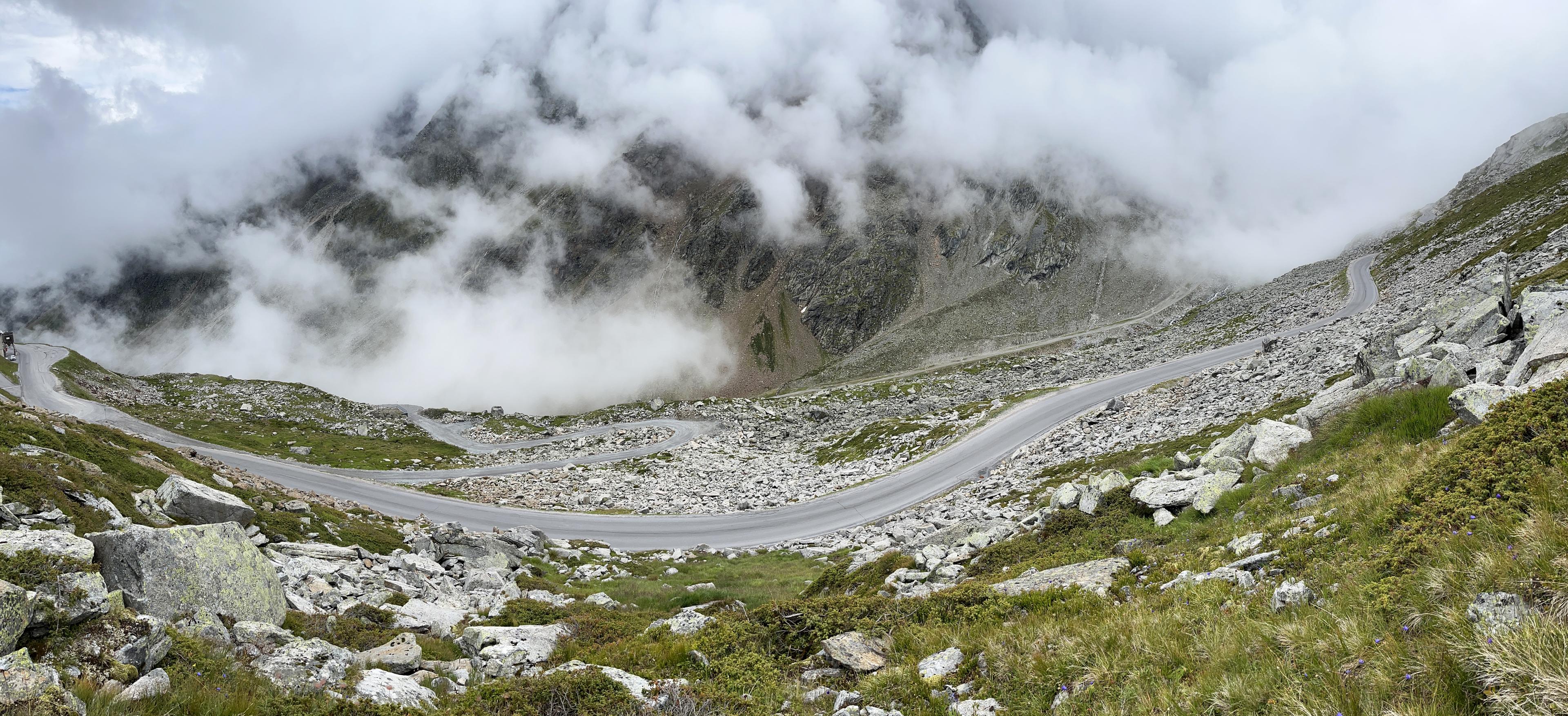

Rettenbachferner begins on the road leaving Sölden for the glacier ski areas. The route climbs through the Rettenbach valley towards the ski infrastructure high above town, exchanging the busy valley floor for a road whose purpose becomes clearer with every gain in height.
The gradient gives this ascent a particular severity among the long Alpine roads here. The linked profile is sustained and steep, while the upper landscape belongs to the glacier setting and its exposed slopes. Arrival is at the Rettenbach side, rather than the separate continuation through the tunnel towards Tiefenbach.
That distinction matters on a mountain served by several high roads. Rettenbach and Tiefenbach are neighbouring destinations, not interchangeable names for the same finish. This entry follows the Rettenbach approach and its upper road, preserving the particular journey from Sölden rather than adding the next glacier as an uncounted extension.
2. Pico Veleta — Granada / Cenes de la Vega
Cenes De La Vega, Spain
Recorded route peak 3,242 m


The Granada entry follows the long approach into the Sierra Nevada from the city’s eastern side. The catalogue link begins at Cenes de la Vega, leaving out the source route’s lower section. From there the climb works towards the ski-station roads and the upper Veleta road beyond Hoya de la Mora.
This is a different beginning from the steep Hazallanas approach that closes the countdown. The lower route and its steady accumulation of height are part of the distinction, even though both journeys eventually enter the same high mountain country. Hoya de la Mora is an intermediate landmark, rather than the finish of the full Veleta ascent.
Above it, the surface becomes a much more important consideration than the name of the climb suggests. The upper road includes broken tarmac and loose stone. The ranking’s recorded peak belongs to its particular track, while the linked Cenes ascent has its own endpoint and measurement; neither figure should be read as a guarantee of continuous good asphalt.
1. Pico Veleta — Hazallanas
Güejar Sierra, AL
Recorded route peak 3,363 m

The Hazallanas approach gives Veleta a steep opening above the Genil valley. The road climbs towards El Dornajo and the Sabinas approach before joining the upper journey towards Hoya de la Mora. It is a different mountain itinerary from the steadier road out of Cenes, with the harder lower section arriving long before the highest ground.
Beyond Hoya de la Mora, the ski-station approach becomes the old upper road beneath Veleta. The surface deteriorates, and loose stone takes over parts of the highest section. The line continues into a landscape in which the road is increasingly a remnant of engineering laid across the mountain, rather than a conventional highway through it.
This route leads the supplied ranking by its recorded peak. Its appeal is larger than that number: a climb out of an Andalusian valley, a meeting with the high station roads, then the rough upper mountain beyond. The final arrival asks for a different judgement from the paved passes earlier in the list, with the condition of the road deciding how far a bicycle journey can sensibly continue.