Highland Perthshire, Scotland · 85-mile route
Etape
Caledonia.
Two lochs, a road beneath Schiehallion and a long way back to Pitlochry. A Highland day with room to find your rhythm.
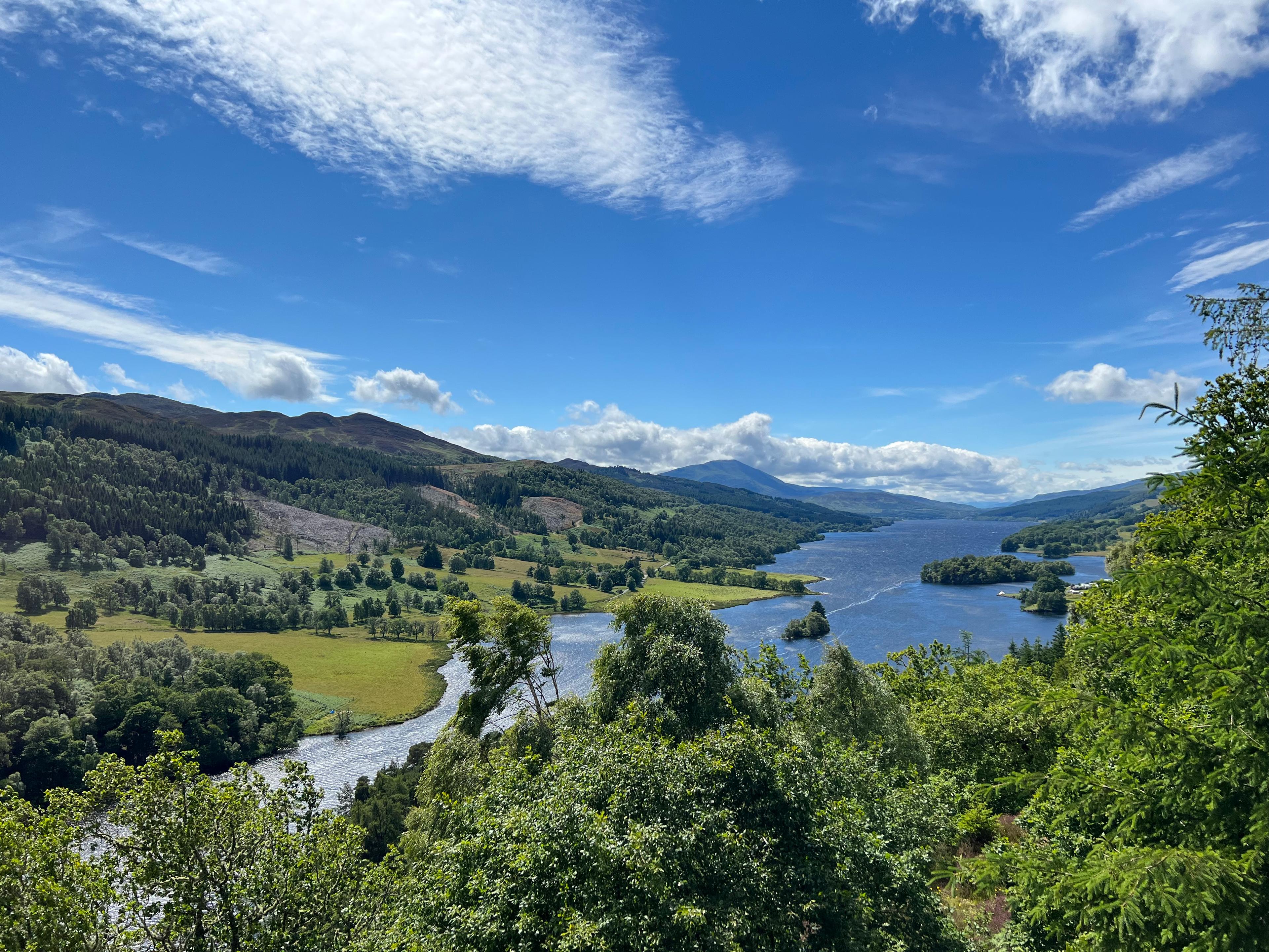
Loch Tummel from Queen’s View, beside the opening roads of the ride. Photo: SwiftlyGinger. CC BY-SA 4.0 · Cropped for display.
Lochside miles. Highland roads.
A day you will
remember.
The road west from Pitlochry keeps changing its relationship with the water. Loch Tummel appears below the trees; later, Loch Rannoch stretches out beside the road, its far end drawing the route deeper into Highland Perthshire. The 85-mile Etape takes the long way round: over the rise towards Trinafour, around both shores of Rannoch, then across the northern shoulder of Schiehallion before turning home.
There is plenty of climbing, but the shape of the day matters as much as the total. The opening ascent arrives while the ride is still young. A long lochside passage follows before Schiehallion brings the road uphill again, more than halfway round. Beyond it, Fortingall and the Tay valley seem to promise an easier return. The sharp turn at Logierait has one last argument to make.
- The distance
- 135.8km
- Metres to climb
- 1,555m
- Schiehallion segment · ascent
- 225m
Distance and total ascent follow the downloadable GPX. The Schiehallion callout is the selected segment’s elevation gain, rounded to the nearest metre.
Read the road
Two long rises. A late reminder.
The Schiehallion crossing · distance in km, elevation in m
Pass markers show approximate high points along the route. Select a dot or a climb button to see its statistics.Swipe across the profile to follow the whole section.
Select a climb to see its ridden approach and statistics. Tummel Bridge’s figures cover the lower ascent; the Schiehallion and Logierait segments include rolling ground.
One day. Three chapters.
A whole landscape,
one ride.
Follow the road west above Loch Tummel, around Loch Rannoch and home beneath Schiehallion. The three markers pick out key climbing sections, rather than every rise.
West, above the water
0–36 km · Pitlochry · Loch Tummel · Trinafour
The long shore
36–76 km · Kinloch Rannoch · Bridge of Gaur · the south shore
Across Schiehallion, home by the Tay
76–136 km · Schiehallion · Fortingall · Logierait
CHAPTER 010–36 KM
West, above the water
Pitlochry is the anchor of the ride, but the opening roads soon leave the town behind. The course crosses the River Garry and heads west above Loch Tummel, passing the country around Queen’s View. Short rises interrupt the outward journey before the road reaches Tummel Bridge.
Beyond the bridge, the 85-mile course turns uphill towards Over Bohespic and Trinafour. The lower section supplies a sustained ascent; the road continues gaining height beyond it, reaching its first substantial crest about 26 kilometres into the ride. The descent and the turn onto the B847 carry the course back towards Dunalastair Water and Kinloch Rannoch. This is a different road from the northern Trinafore Hill climb.
01Tummel Bridge
~26.3 kmFrom the B846 towards Over Bohespic and Trinafour · north-west
- Climb distance
- 2.25 km
- Average gradient
- 6.3%
- Category
- Cat 4
The sustained lower climb leads towards Over Bohespic. The course continues uphill beyond the segment before descending towards the B847; it does not climb the separate northern Trinafore Hill.
Climb figures cover the lower 2.25 km, ending about 24.4 km into the ride. The marker shows the later road crest at 26.3 km.
View climb details ↗
CHAPTER 0236–76 KM
The long shore
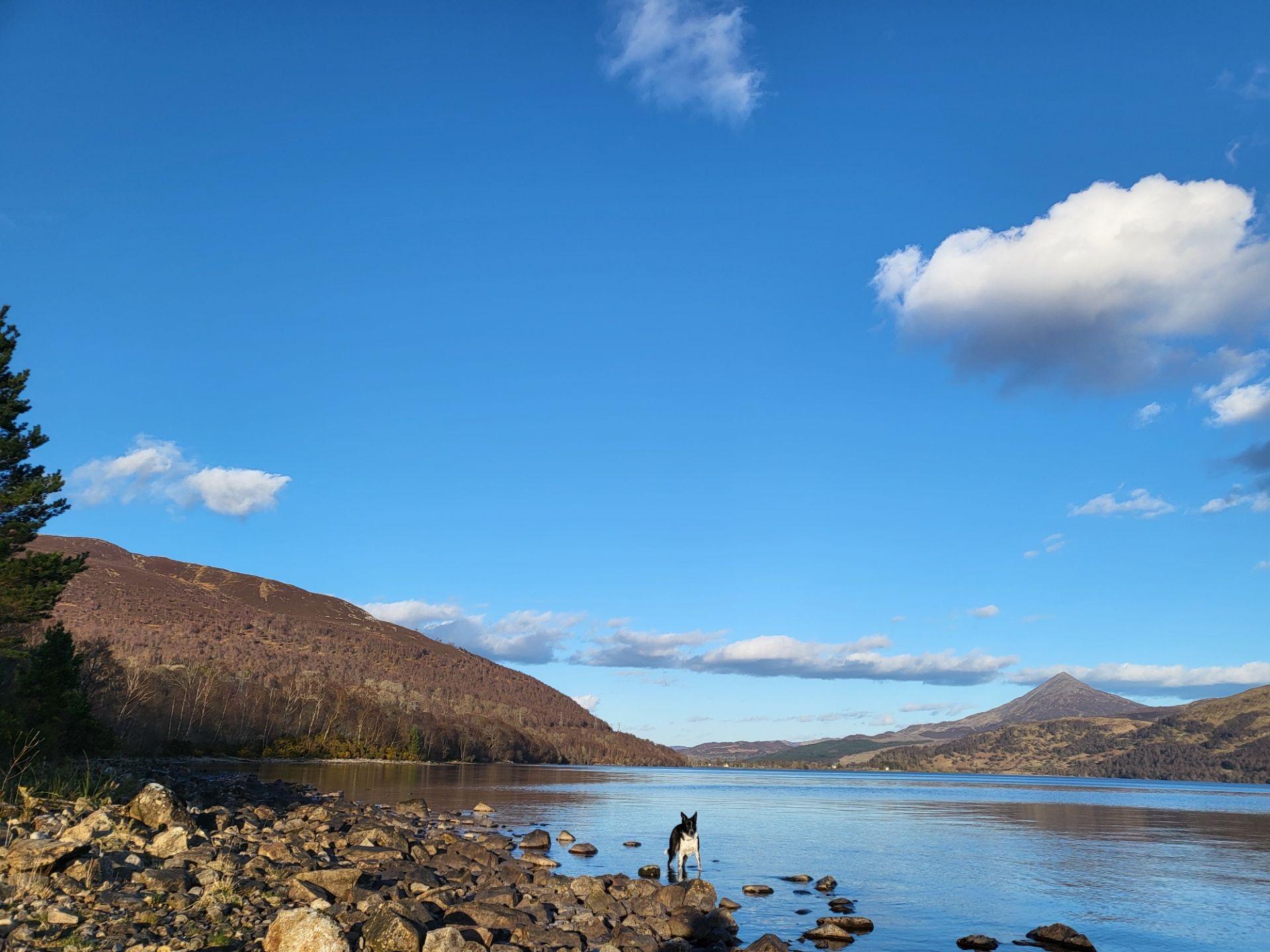
At Kinloch Rannoch, the route commits to the full circuit of the loch. The north shore takes it west towards Bridge of Gaur; the return follows the southern shore east, bringing the woods and water close to the road. The contrast with the opening climb is striking: a long horizontal journey through a landscape framed by higher ground.
These kilometres give the ride its breadth. They also put distance between the first climb and the next one. By the time the course leaves the lochside country, the approach to Schiehallion has become the next change in the road rather than a distant feature on the profile. The western ascent begins east of Kinloch Rannoch, after the loop around the water is complete.
CHAPTER 0376–136 KM
Across Schiehallion, home by the Tay
Schiehallion is a road crossing beneath the mountain, not an ascent to its summit. From the west, the climbing gives way to a rolling high road before the track reaches its highest point at about 85 kilometres. The descent towards Glengoulandie changes the scale again, exchanging the shoulder of the mountain for the lower country to the south.
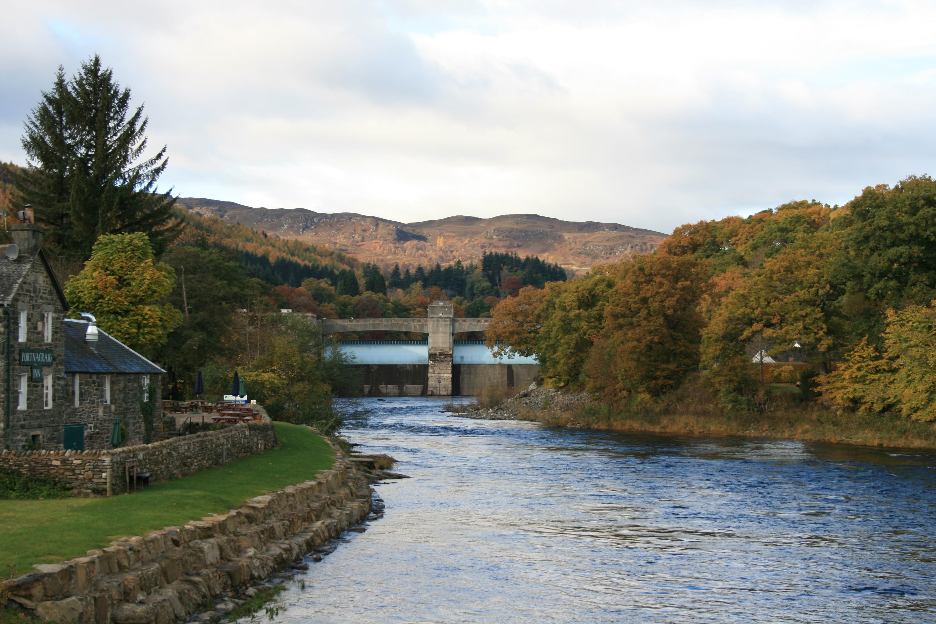
The 85-mile course adds the loop through Fortingall before travelling east past Weem and along the Tay valley towards Logierait. There, a left turn off the A827 puts the road sharply uphill. The initial ramp is brief, but the lane keeps rising and falling on the way north. Pitlochry is close; the ride still has several small demands to make before the crossing of the Tummel and the return into town.
02Schiehallion
~85.2 kmFrom the Kinloch Rannoch side · west to east
- Climb distance
- 8.07 km
- Average gradient
- 2.2%
- Category
- Uncategorised
The western approach to the road crossing beneath Schiehallion. An initial climb leads into higher, rolling country before the descent towards Glengoulandie.
Climb figures include the initial ascent and rolling high road. The segment ends near 85.0 km, just before the GPX high point; its average includes the easier ground.
View climb details ↗03Logierait
~131.7 kmFrom the A827 towards Pitlochry · northbound
- Climb distance
- 3.86 km
- Average gradient
- 1.7%
- Category
- Uncategorised
A sharp left turn off the A827 starts the late climbing sequence. The brief opening ramp is followed by rolling minor roads on the return to Pitlochry.
Figures cover the 3.86 km Sting in the Tail sequence, including the initial ramp and subsequent rises and descents. The marker shows its later high point.
View climb details ↗
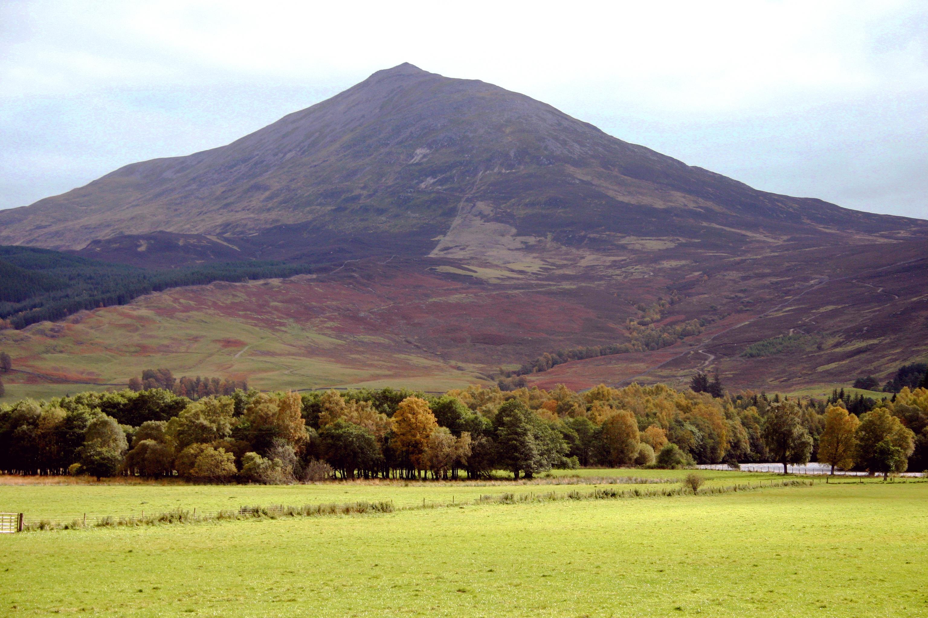
Schiehallion viewed across the River Tay. Photo: Andrew2606. CC BY 3.0 · Cropped for display.
About 77 kilometres in
The road beneath
Schiehallion.
225m
Elevation gain across the selected Schiehallion segment
After the long circuit of Loch Rannoch, the road turns east into a different kind of effort. The western approach to Schiehallion gains height through bends before easing onto the higher ground. It is the transition from lochside riding to the shoulder of the mountain that defines this part of the day.
The linked segment follows just over eight kilometres, including the easier stretches and small descents after the initial climb. Its gentle overall average does not describe every bend. The route reaches its GPX high point of 382 metres shortly after the segment ends, then turns towards Glengoulandie. There is still roughly 50 kilometres of riding beyond the crossing.
The western Schiehallion crossing
From the lochside country · a closer lookPass markers show approximate high points along the route. Select a dot or a climb button to see its statistics.Swipe across the profile to follow the whole section.
Schiehallion ~85.2 km into the ride
From the Kinloch Rannoch side · west to east
Climb figures include the initial ascent and rolling high road. The segment ends near 85.0 km, just before the GPX high point; its average includes the easier ground.
- Climb distance
- 8.07 km
- Average gradient
- 2.2%
- Climb category
- Uncategorised
Put it on your calendar
Ride the Caledonia.
Start and finish in Pitlochry. Download the reviewed 85-mile course, then check the organiser’s latest information when planning an event entry.
Route statistics: 135.8 km distance · 1,555 m elevation gain · 382 m highest point. Elevation totals vary between services.
Route track: Etape Caledonia / official 85-mile GPX.
Event routes and road access can change. Check the organiser’s latest route information before riding. Road closures apply to the organised event only. The advertised 85-mile distance is 136.8 km; this supplied GPX measures 135.8 km and has separate start and finish points in town. It is preserved without an added connecting road. Future event routing may change.
Keep the day with you
Every shore.
Every contour.
Your Caledonia.
The long outline of Loch Rannoch, the Schiehallion crossing and the return to Pitlochry, made into a poster. Choose a palette and keep the profile of the whole day beneath the route.
Create your route artwork ↗