
Lake District, England · Classic Grasmere route
Fred Whitton
Challenge.
A beautiful, brutal day on the roads of the Lake District. One of Britain’s great cycling challenges.
Hardknott Pass, looking back towards Eskdale. Photo: Adam.
Beautiful country. Brutal roads.
A day you will
remember.
The Fred asks a deceptively simple question: how much of the Lake District can you take on in one day? Its answer runs through high passes, wooded valleys and exposed fell roads, then saves a pair of its most uncompromising climbs for the journey home. It is among Britain’s toughest sportives, and the beauty of the country is inseparable from the difficulty of riding through it.
Kirkstone supplies the height. Honister and Newlands sharpen the gradients. The long western crossing adds distance before Eskdale delivers the road that gives the Fred its reputation. By the time Hardknott rises ahead, about 150 kilometres are already behind you. The bends are steep enough to make getting off and walking an entirely reasonable part of the day.
- The distance
- 181.7km
- Metres to climb
- 3,597m
- Hardknott ramps · reaching
- 33%
Distance and ascent follow the downloadable GPX. The gradient callout describes Hardknott’s steepest ramps.
Read the road
The hardest part is still ahead.
The final reckoning · distance in km, elevation in m
Pass markers show approximate high points along the route. Select a dot or a climb button to see its statistics.Swipe across the profile to follow the whole section.
One day. Three chapters.
A whole landscape,
one ride.
From the opening climb above Troutbeck to the last road out of Langdale. Follow the ride across the passes.
Into the high country
0–60 km · Grasmere · Kirkstone · Ullswater
Across the passes
60–148 km · Borrowdale · Buttermere · the western fells
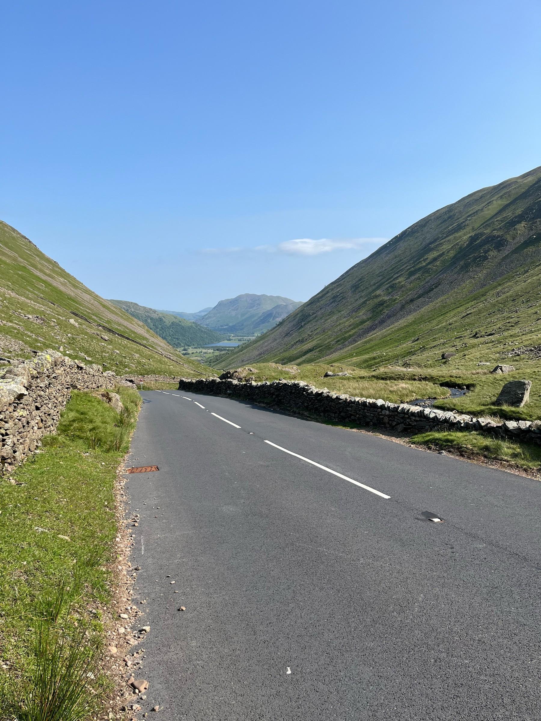
CHAPTER 010–60 KM
Into the high country
The road out of Grasmere gives little indication of what the finish will demand. South towards Ambleside, then through Troutbeck, the classic route takes the long southern approach to Kirkstone. This is a climb with room to find a rhythm, gaining height until the valleys fall away and the road reaches the highest point of the track.
The descent towards Patterdale opens the ride into Ullswater country. It would be easy to mistake that change of scenery for a change of character, but Matterdale brings another rise before the roads towards Keswick. Already, the Fred has begun its pattern: a pass, a valley, then another road climbing out of it.
01Kirkstone Pass
~20.6 kmFrom Troutbeck · south to north
- Climb distance
- 5.23 km
- Average gradient
- 5.6%
- Category
- Cat 3
The first major pass and the highest point of this track. The classic route approaches through Troutbeck; it does not use The Struggle.
Climb figures start where Holbeck Lane meets the A592 above Troutbeck.
View climb details ↗02Matterdale End
~39.4 kmFrom Ullswater towards Troutbeck
- Climb distance
- 5.54 km
- Average gradient
- 3.5%
- Category
- Cat 3
The road rises from Ullswater past Aira Force and Dockray, then rolls through Matterdale towards the upper crossing. The longer ascent leads into the roads towards Keswick.
Climb figures cover the longer road through Dockray to the upper crossing.
View climb details ↗
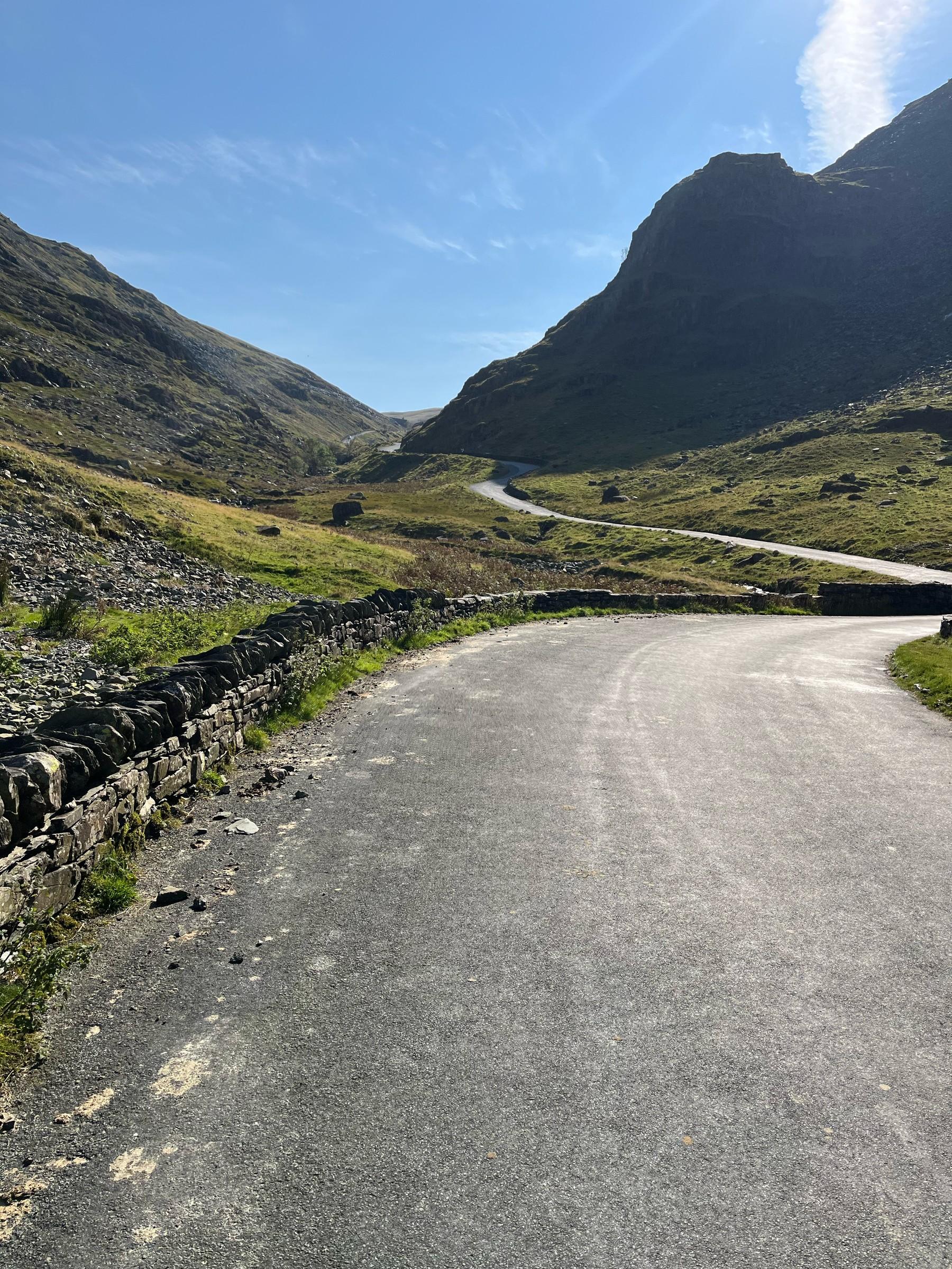
CHAPTER 0260–148 KM
Across the passes
Borrowdale draws the road between water, woods and the gathering fells. At Seatoller, Honister turns that journey sharply uphill. The climb leads west across the pass, then down towards Buttermere, where Newlands starts the next ascent almost as soon as the valley has welcomed you in.
Braithwaite and the wooded road over Whinlatter bring another change of texture. Beyond the trees, the circuit reaches towards the western edge of the district. Cold Fell is less famous than the passes that frame the day, but its exposed crossing belongs to the same accumulating effort. Calder Bridge follows; then the roads towards Eskdale turn the ride back towards the mountains.
03Honister Pass
~71.5 kmFrom Seatoller · east to west
- Climb distance
- 2.22 km
- Average gradient
- 10.5%
- Category
- Cat 3
The exit from Borrowdale leads over Honister and down towards Buttermere. The event climbs the eastern side of the pass.
View climb details ↗04Newlands Hause
~79.9 kmFrom Buttermere
- Climb distance
- 1.94 km
- Average gradient
- 10.6%
- Category
- Cat 3
A climb straight out of the Buttermere valley, followed by the descent through Newlands towards Braithwaite.
View climb details ↗05Whinlatter Pass
~92.3 kmFrom Braithwaite · east to west
- Climb distance
- 3.52 km
- Average gradient
- 6.2%
- Category
- Cat 3
A wooded ascent after Braithwaite, carrying the route west before the long passage towards Cold Fell and Calder Bridge.
Climb figures include a short stretch beyond the pass high point.
View climb details ↗06Cold Fell
~122.3 kmFrom the Ennerdale Bridge side towards Calder Bridge
- Climb distance
- 3.73 km
- Average gradient
- 4.5%
- Category
- Cat 3
An exposed crossing on the western part of the circuit. Less celebrated than Hardknott, it adds another substantial rise before the return to Eskdale.
The climb page calls this northern ascent Burn Edge.
View climb details ↗
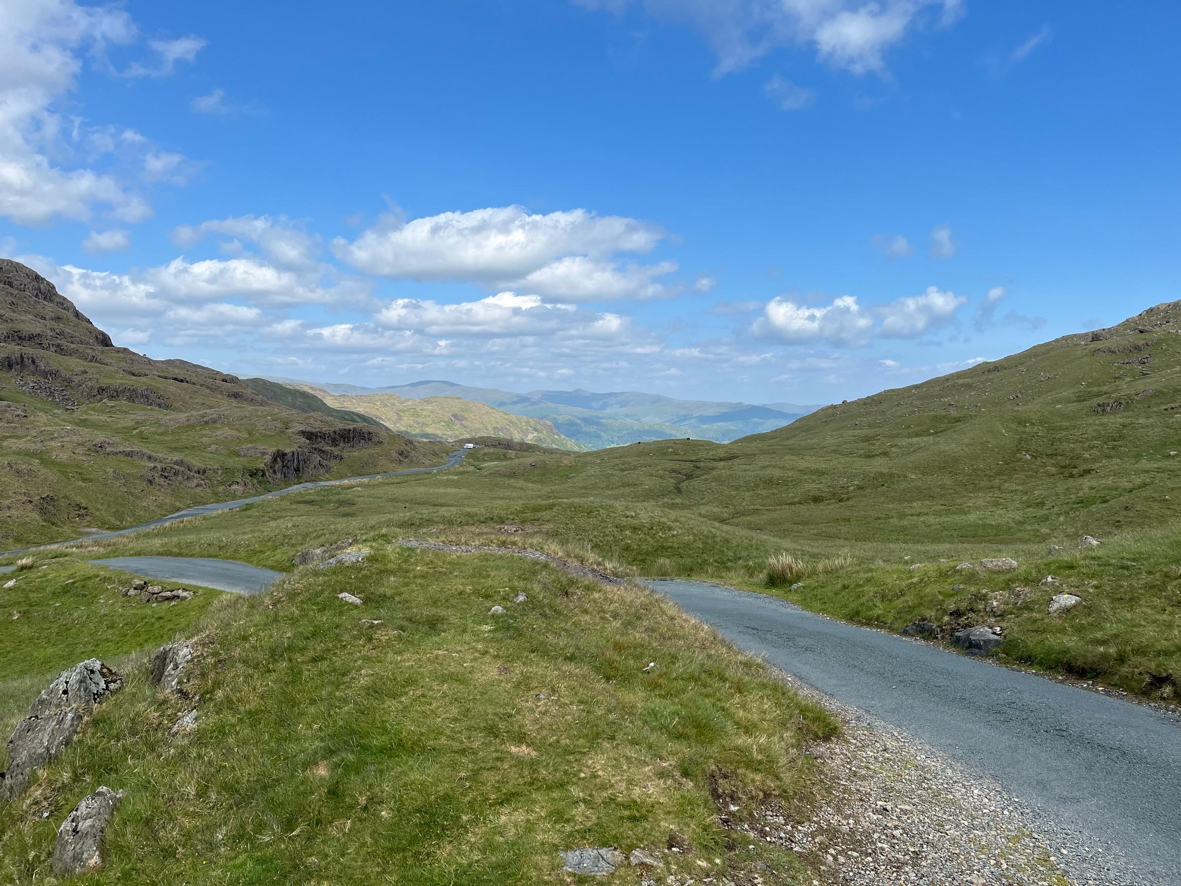
CHAPTER 03148–182 KM
Hardknott is still waiting
From Eskdale, Hardknott climbs west to east in a series of tight, steep bends. Its reputation makes sense when you see the road laid across the hillside: the distance is short, the gain in height abrupt. Riding every metre is a challenge of its own; continuing on foot is part of the Fred’s reality too.
The descent leads into the country between the passes, and Wrynose takes the road uphill again from Cockley Beck. Beyond it lies Little Langdale, then another turn towards Blea Tarn. Only after that final climb does the road cross towards Great Langdale and begin to put Grasmere within reach. The finish means joining all those separate valleys into a single day.
07Hardknott Pass
~152.1 kmFrom Eskdale · west to east
- Climb distance
- 2.29 km
- Average gradient
- 12.9%
- Category
- Cat 3
The late climb that gives the Fred much of its reputation. Short, steep bends lead out of Eskdale; the descent requires just as much attention.
View climb details ↗08Wrynose Pass
~157.3 kmFrom Cockley Beck · west to east
- Climb distance
- 3.33 km
- Average gradient
- 5.3%
- Category
- Cat 3
From Cockley Beck, the road crosses Wrynose Bottom before steepening towards the pass. This western approach follows Hardknott and ends with the descent into Little Langdale.
Climb figures include the gentler road across Wrynose Bottom.
View climb details ↗09Blea Tarn
~162.7 kmFrom Little Langdale · south to north
- Climb distance
- 1.25 km
- Average gradient
- 7.2%
- Category
- Cat 4
The final named climb rises out of Little Langdale. The steep initial ascent gives way to the higher road past Blea Tarn, before the descent into Great Langdale and the return to Grasmere.
Climb figures cover the initial ascent from Little Langdale, before the road passes the tarn.
View climb details ↗

Hardknott Pass: even the road over the crest offers little room. Photo: Adam.
About 150 kilometres in
And then there’s
Hardknott.
33%
Max ramps of 33%
At the end of a long ride, the road out of Eskdale pitches into hairpins with ramps reaching 33%. The bend, the gradient and the climbing already in your legs combine to make a short pass a very large obstacle.
There is no shame in walking here. The challenge continues on the other side: a steep descent, the western ascent of Wrynose, then Blea Tarn before the return through Langdale. Hardknott is the headline, but this whole closing sequence is what makes the Fred such a formidable day.
Hardknott to Wrynose
The closing climbs · a closer lookPass markers show approximate high points along the route. Select a dot or a climb button to see its statistics.Swipe across the profile to follow the whole section.
Two passes in quick succession. This close-up follows the same track as the full profile.
Put it on your calendar
Take on the Fred.
Start and finish at Grasmere Showground. Follow the classic Grasmere route, or use the organiser’s latest information to plan your event day.
Route statistics: 181.7 km distance · 3,597 m elevation gain · 458 m highest point. Elevation totals vary between services.
Route track: Fred Whitton Challenge / Ride with GPS.
Event routes and road access can change. Check the organiser’s latest route information before riding. This page describes the classic Grasmere circuit.
Keep the day with you
Every pass.
Every contour.
Your Fred.
The whole road through the fells, made into a poster. Choose your colours, frame the route and download an artwork with the profile of the day beneath it.
Create your route artwork ↗