Mallorca, Spain · Published full course
Mallorca
312.
From the sea into the Tramuntana, along the western coast and across the island’s quieter interior. A day whose scale reaches far beyond the mountains.
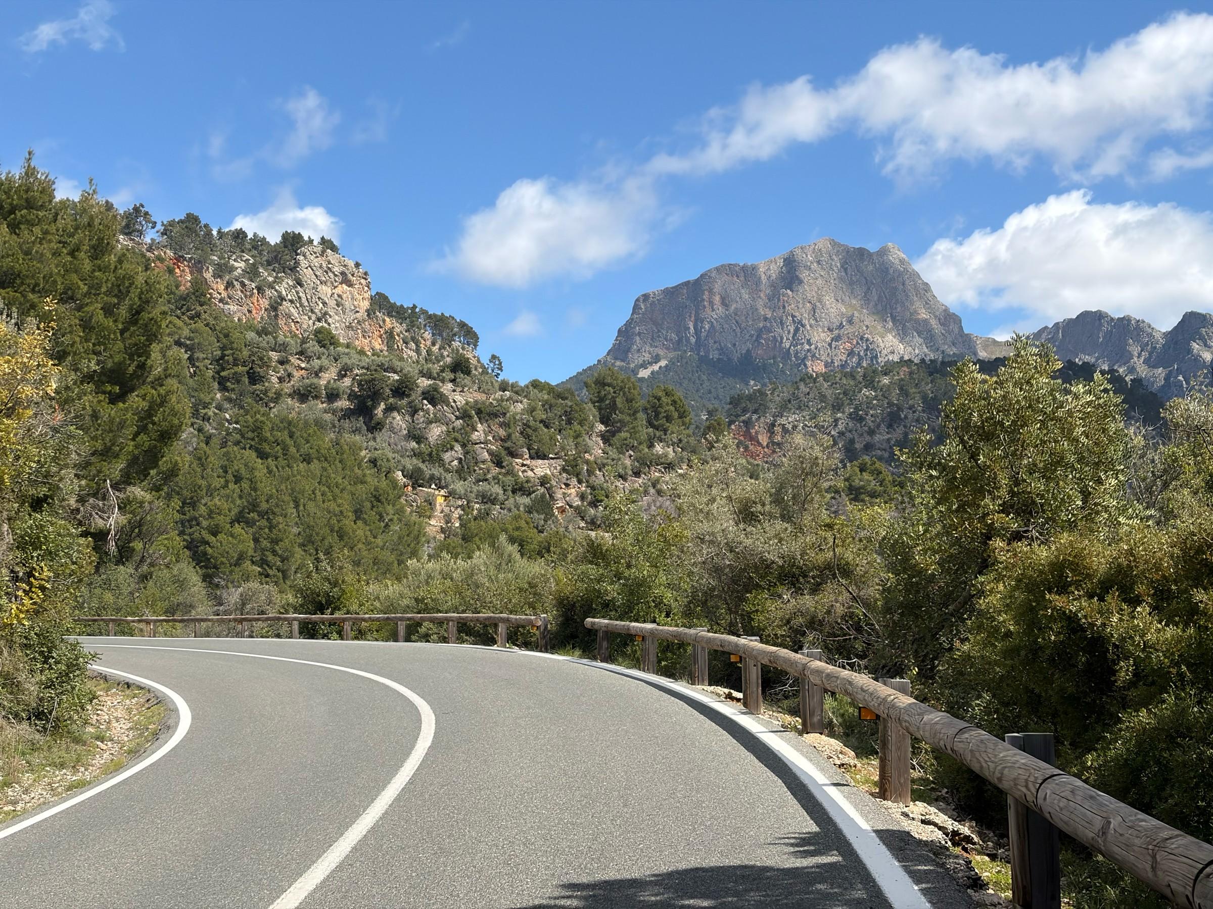
The Puig Major road above Sóller, descended on this course. Photo: Adam.
The mountains first. The whole island still ahead.
A day you will
remember.
The mountain roads arrive early on the Mallorca 312. From Playa de Muro, the course heads towards Pollença and climbs into the Tramuntana, joining Femenia to the reservoir country and the high road beneath Puig Major. It is a substantial journey before Sóller appears below, yet the descent leaves most of the day still to ride.
Beyond Sóller, the route follows the western side of the island before turning inland. There are more climbs around Valldemossa, the coast and Galilea; later, the smaller rises of the interior take over. The full course adds an eastern extension through Artà before returning to the sea. Its challenge is the combination: mountain climbing first, then the distance needed to complete the whole circuit.
- The distance
- 313.2km
- Metres to climb
- 4,724m
- Recorded high point · near Monnàber
- 869m
Distance and ascent are measured from the downloadable GPX. The high-point callout is its recorded elevation near Monnàber, not the height of Puig Major’s summit.
Read the road
High roads. A long way home.
Femenia to the high Tramuntana · distance in km, elevation in m
Pass markers show approximate high points along the route. Select a dot or a climb button to see its statistics.Swipe across the profile to follow the whole section.
The highest crossing comes early. More climbs follow on the western roads, then the lower eastern extension completes the day. Select a pass to see where it falls on the course.
One day. Three chapters.
A whole landscape,
one ride.
Follow the course from the northern coast through the mountains, around the western roads and across the interior. The line follows the GPX; background contours are decorative.
Sea level to the high road
0–71 km · Playa de Muro · Femenia · Puig Major
Mountains beside the sea
71–160 km · Deià · Banyalbufar · Galilea
The island opens out
160–313 km · Esporles · Ariany · Artà · Playa de Muro
CHAPTER 010–71 KM
Sea level to the high road
The opening roads approach Pollença before taking the Ma-10 west into the mountains. Femenia supplies the first sustained ascent, with limestone slopes and trees replacing the low ground near the coast. Its high point comes about 33 kilometres into the track, but this first crest does not end the upward journey.
The road rolls on past the Lluc junction towards Gorg Blau and Cúber. Beyond the reservoirs it reaches the high crossing near the Monnàber tunnel, then drops towards Sóller. This is the reverse of the familiar long climb from Sóller: the course approaches from the reservoir side and descends the western road into the valley.
01Coll de Femenia
~33.0 kmFrom the Pollença side · Ma-10 towards Lluc
- Climb distance
- 8.51 km
- Average gradient
- 5.0%
- Category
- Cat 2
The opening sustained climb. Beyond its crest, rolling roads continue towards the reservoirs and the higher crossing near Monnàber.
View climb details ↗02Puig Major · Monnàber
~55.5 kmFrom Gorg Blau · past Cúber to Monnàber
- Climb distance
- 5.11 km
- Average gradient
- 5.1%
- Category
- Cat 3
The track’s highest recorded point is near Monnàber. This is the public Ma-10 crossing, not the summit of Puig Major.
Climb figures cover the final ascent from Gorg Blau, after the rolling roads from Lluc.
View climb details ↗
CHAPTER 0271–160 KM
Mountains beside the sea
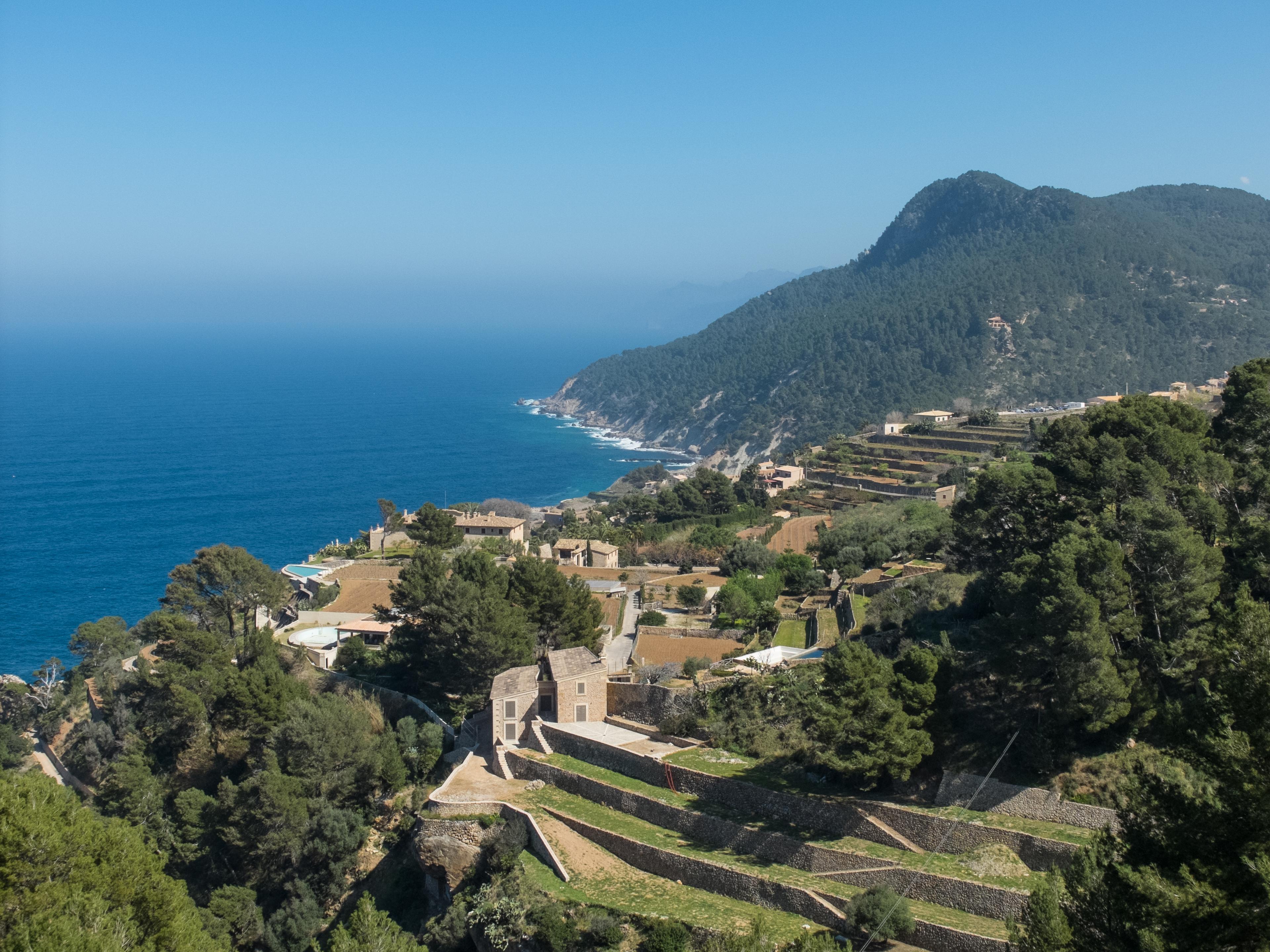
Leaving the Sóller valley, the course continues towards Deià and the higher roads around Valldemossa. The coast returns to view around Banyalbufar, where stone terraces descend towards the Mediterranean. The profile keeps breaking into separate rises and descents: reaching the sea does not mean the road has become level.
Estellencs and the crossing of Sa Gramola carry the ride towards Andratx. From there it turns through Es Capdellà and climbs to Galilea, then crosses towards Puigpunyent. Coll des Grau provides another rise before the descent to Esporles. This western sweep occupies almost another 90 kilometres after Sóller, with the high Tramuntana already behind it.
03Coll de ses Pedrasses
~87.9 kmFrom Deià towards Valldemossa
- Climb distance
- 6.49 km
- Average gradient
- 4.5%
- Category
- Cat 3
A high point on the western Ma-10 after leaving the Sóller valley. The road continues towards the next crossing near Valldemossa.
The organiser labels this crest ses Pedrasses; the linked climb covers the Can Costa approach from Deià.
View climb details ↗04Coll d’en Claret
~93.9 kmAbove Valldemossa · towards Banyalbufar
- Climb distance
- 2.82 km
- Average gradient
- 4.5%
- Category
- Cat 4
A crest before the course follows the western coast. The descent leads into the roads towards Banyalbufar and Estellencs.
View climb details ↗05Coll de sa Gramola
~123.4 kmFrom the Estellencs direction · northern tunnel to the pass
- Climb distance
- 3.71 km
- Average gradient
- 4.8%
- Category
- Cat 3
The southern crossing of the coastal section before Andratx. The route then turns inland towards Es Capdellà and Galilea.
Climb figures cover the final tunnel-to-pass ascent, rather than the whole road from Estellencs village.
View climb details ↗06Coll de Galilea
~143.8 kmFrom Es Capdellà · towards Puigpunyent
- Climb distance
- 4.61 km
- Average gradient
- 6.1%
- Category
- Cat 3
A return to climbing after the roads through Andratx and Es Capdellà. The far side leads towards Puigpunyent.
The linked climb is listed as Es Capdellà and covers the ascent to Galilea.
View climb details ↗07Coll des Grau
~152.3 kmFrom Puigpunyent · towards Esporles
- Climb distance
- 3.20 km
- Average gradient
- 6.8%
- Category
- Cat 3
The last marked crest of the western mountain chapter. Descend towards Esporles before the longer passage through the interior.
View climb details ↗
CHAPTER 03160–313 KM
The island opens out
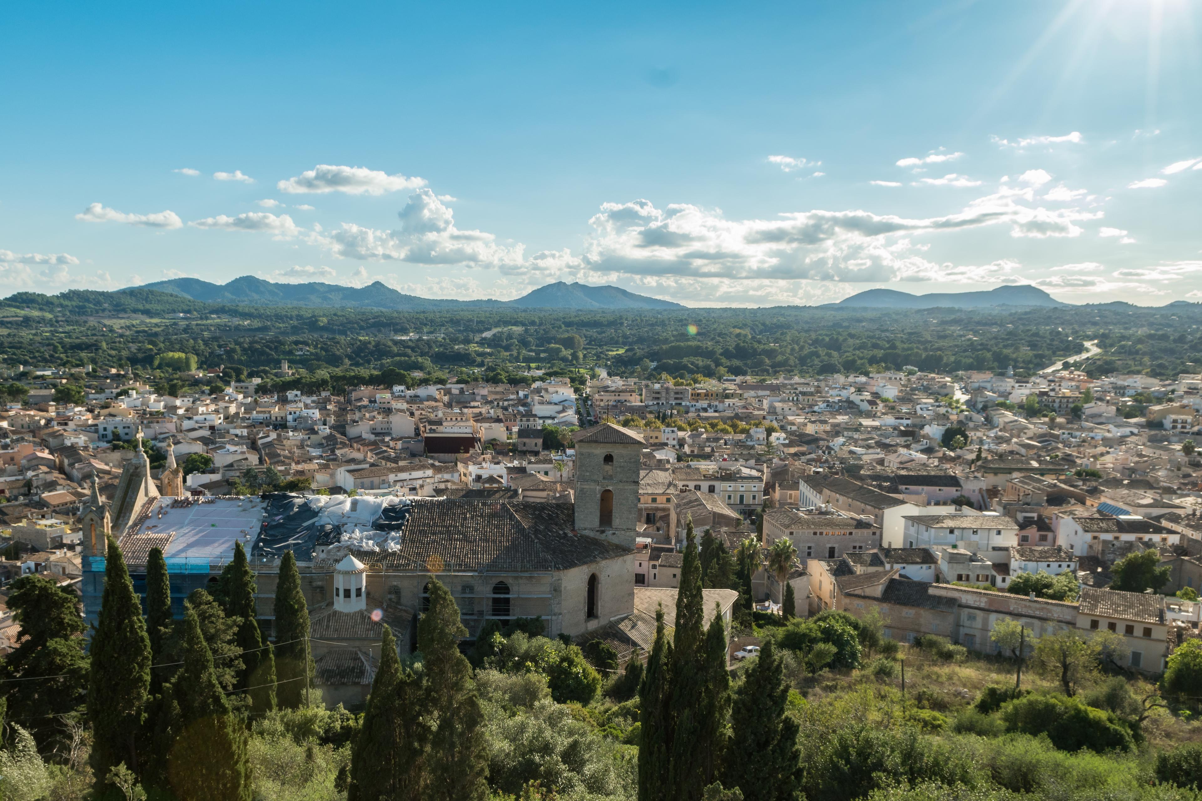
Beyond Esporles, the profile changes scale. The big mountain crossings give way to lower roads through the interior, passing Lloseta and continuing towards the northern plain. This is where the full course reveals its length: the route turns away again for the eastern extension instead of bringing the day straight back to Playa de Muro.
Ariany leads into the roads towards Artà. The rises are smaller than those of the morning, but they belong to a ride that is approaching 300 kilometres. Artà comes roughly 286 kilometres into this track; the final roads lead back towards the bay and Playa de Muro. The finish closes a circuit of contrasting landscapes, rather than a single chain of mountain passes.
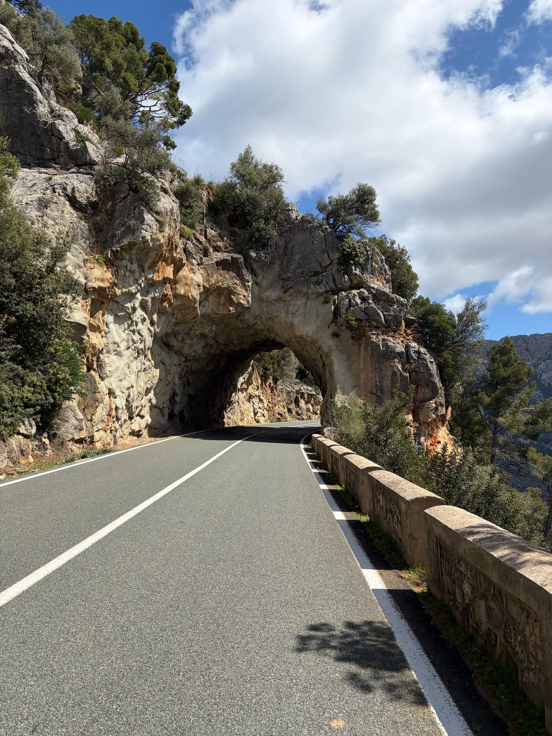
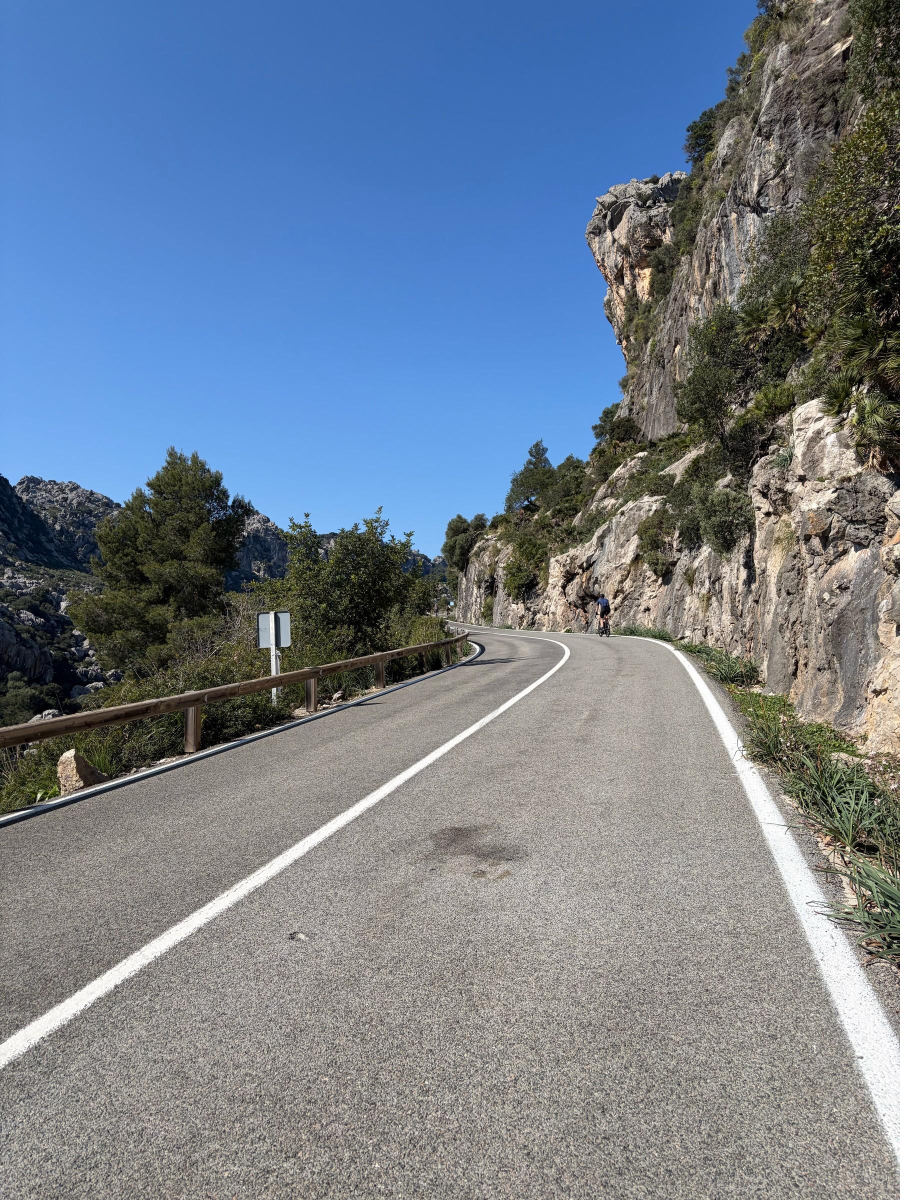
A rock tunnel on the Puig Major road above Sóller, descended on this course. Photo: Adam.
About 24 kilometres in
Into the
high Tramuntana.
869m
GPX high point near Monnàber
Femenia begins the mountain passage, but the route keeps gaining height beyond its crest. The roads past Gorg Blau and Cúber connect that first ascent to the crossing near Monnàber. The route's highest point is at about 56 kilometres into the day, before the long descent towards Sóller.
This sequence gives the opening its scale: an ascent from the Pollença side, rolling mountain roads and another climb into the reservoir country. The route stays on the Ma-10 through the tunnel area. It does not take the separate restricted road towards Puig Major’s summit.
Femenia to the high crossing
The opening mountains · a closer lookPass markers show approximate high points along the route. Select a dot or a climb button to see its statistics.Swipe across the profile to follow the whole section.
The same GPX, from the start of the selected Femenia approach to the recorded high point near Monnàber. The passes are separated by rolling roads.
Put it on your calendar
Make a day of Mallorca.
Start and finish at Playa de Muro. Download the published full-course track and check the organiser’s latest course and event information before planning your ride.
Route statistics: 313.2 km distance · 4,724 m elevation gain · 869 m highest point. Elevation totals vary between services.
Route track: Mallorca 312 official download (file labelled 2025).
Event routes and road access can change. Check the organiser’s latest route information before riding. The organiser advertises closed roads for the event; those arrangements do not apply to independent rides. Carry lights for the tunnels and check current road conditions. The published profile gives 5,050 m ascent; this GPX’s raw elevation total is 4,724 m.
Keep the day with you
Every pass.
Every contour.
Your Mallorca.
The high road, the western sweep and the eastern extension, together in one poster. Choose your colours and keep the shape of the whole day, with its elevation profile beneath the route.
Create your route artwork ↗