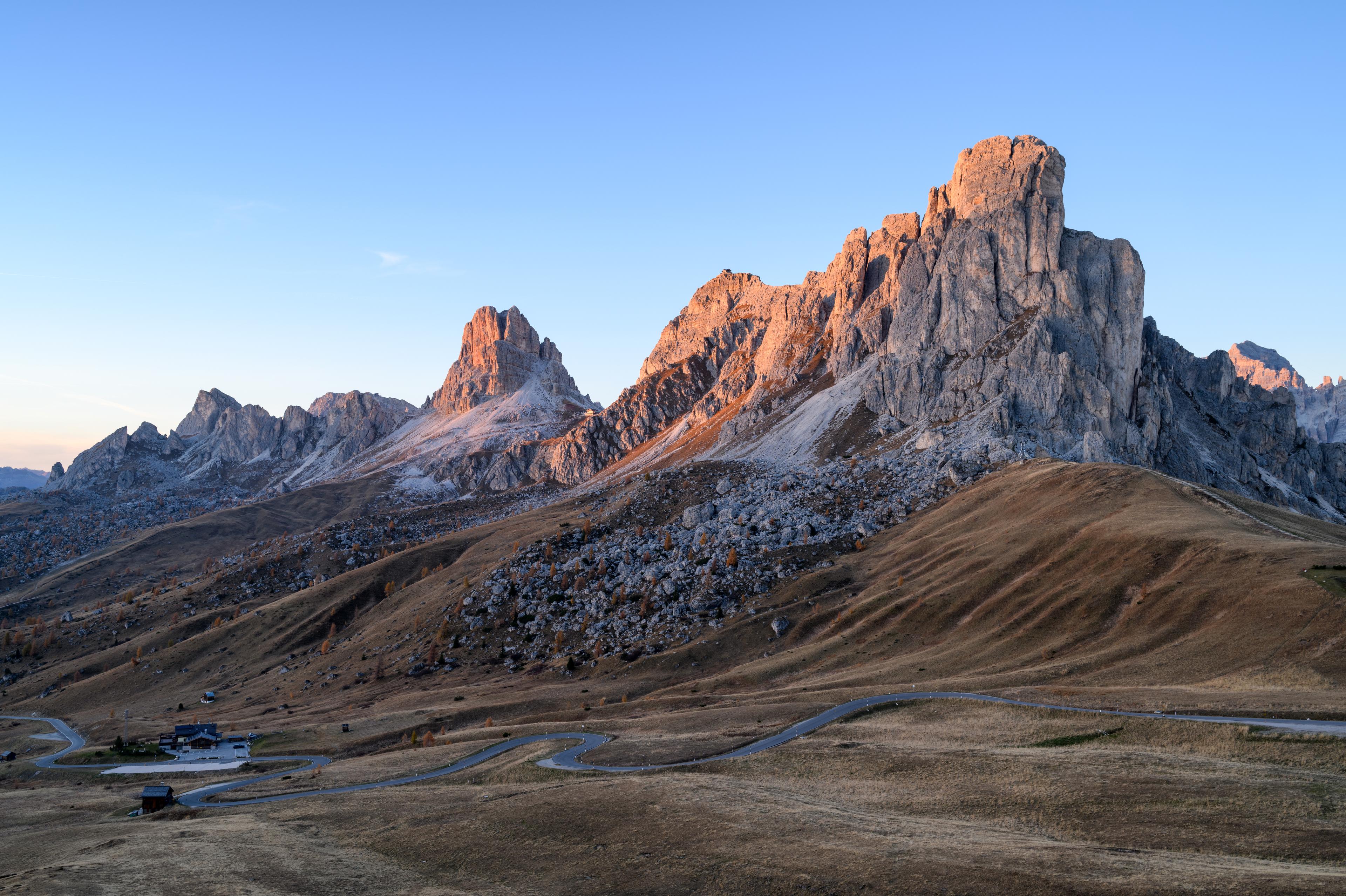
Alta Badia, Dolomites, Italy · Classic 138 km course
Maratona dles
Dolomites.
Legendary mountain passes, towering limestone peaks and 4,230 metres of climbing. A spectacular day in the Dolomites at one of Italy’s great gran fondos.
Passo Giau, beneath the Dolomite towers. Photo: Eric Kilby. CC BY-SA 2.0 · Cropped for display.
Pale rock. High roads.
A day you will
remember.
The Maratona brings riders to Alta Badia for a day on some of the Dolomites’ great roads. Above the villages, hairpins climb towards pale limestone towers and each pass opens into another mountain valley. Campolongo, Pordoi, Sella and Gardena set the scene; Giau, Falzarego and Valparola give the long route its scale.
Campolongo comes round again. Beyond Arabba the route reaches towards Selva di Cadore, then turns uphill for Giau: nearly ten kilometres of sustained climbing after a succession of high passes. Falzarego and Valparola still lie on the road home. The appeal is in that sequence, as much as in any single summit: a day spent joining the Dolomites together.
- The distance
- 138.6km
- Metres to climb
- 4,230m
- Giau · average over 9.9 km
- 9.3%
The route climbs 4,230 m, the organiser’s official total. The Giau callout shows its average gradient over 9.9 km.
Read the road
The great passes of the Dolomites.
The Giau ascent · distance in km, elevation in m
Pass markers show approximate high points along the route. Select a dot or a climb button to see its statistics.Swipe across the profile to follow the whole section.
Campolongo appears twice. Giau is the sustained steep ascent before Falzarego and Valparola lead the route home. Select a dot or a climb button to see its statistics.
One day. Three chapters.
A whole landscape,
one ride.
Circle the Sella massif, cross Giau and return through Valparola. Follow the road through each chapter of the ride.
Around the Sella
0–55 km · Campolongo · Pordoi · Sella · Gardena
The long road to Giau
55–97 km · Campolongo again · Arabba · Selva di Cadore
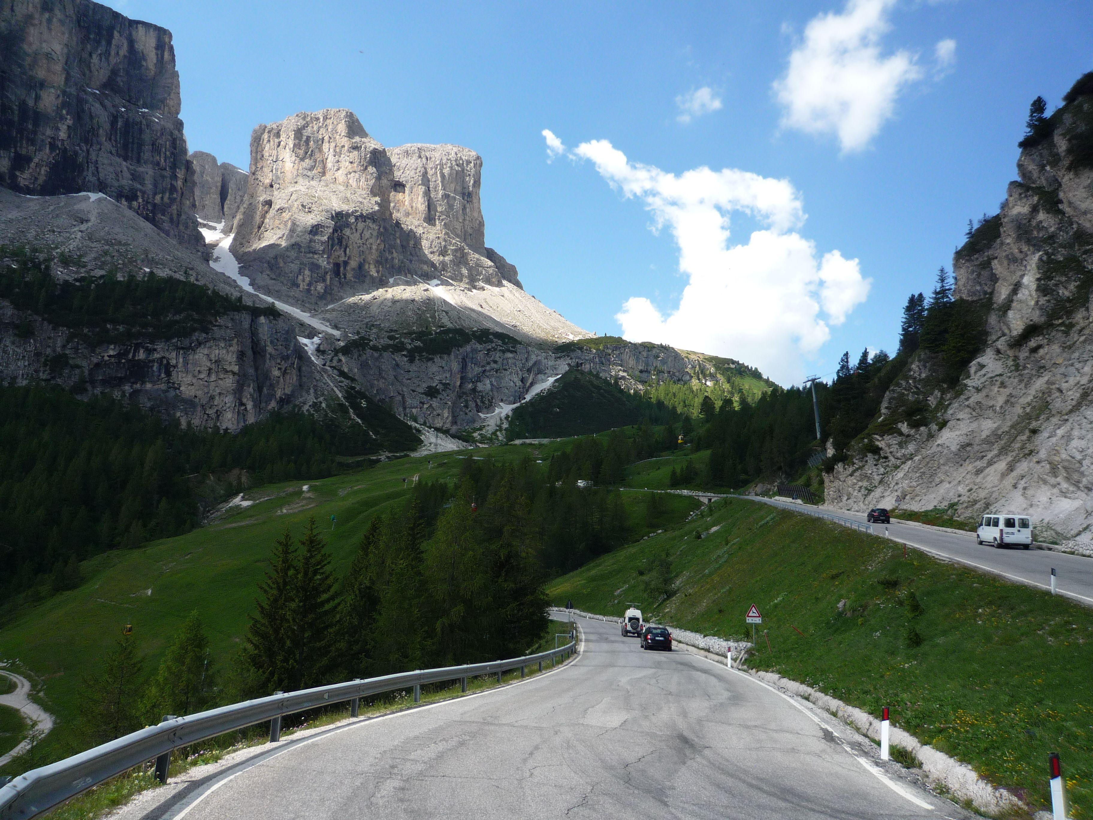
CHAPTER 010–55 KM
Around the Sella
From La Villa the road climbs towards Corvara, then continues south over Campolongo to Arabba. Pordoi follows from the eastern side. Its hairpins take the route above the valley, then the descent on the other side leads to the turn for Sella. Four passes form this opening circuit, but the roads between them give each ascent a character of its own.
Sella carries the ride into a landscape of exposed rock. The descent leads to the road for Gardena, where climbing is broken by a gentler middle section before the final rise. Over the pass, the road falls through Colfosco towards Corvara. The route has circled the massif; it now returns to a road already ridden.
01Campolongo · first crossing
~9.5 kmFrom Corvara · north to south
- Climb distance
- 6.02 km
- Average gradient
- 5.7%
- Category
- Cat 2
The first pass after the road from La Villa to Corvara. Descend to Arabba for the eastern ascent of Pordoi.
View climb details ↗02Passo Pordoi
~23.0 kmFrom Arabba · east to west
- Climb distance
- 8.98 km
- Average gradient
- 7.1%
- Category
- Cat 2
The eastern hairpins carry the opening circuit above Arabba. On the far side, descend to the turn for Sella.
View climb details ↗03Passo Sella
~34.9 kmFrom the Pordoi road junction · southern approach
- Climb distance
- 5.42 km
- Average gradient
- 8.2%
- Category
- Cat 2
Climb the upper southern approach after descending Pordoi. The road over Sella leads towards the Gardena junction.
View climb details ↗04Passo Gardena
~46.1 kmFrom the Sella junction · west to east
- Climb distance
- 5.75 km
- Average gradient
- 5.4%
- Category
- Cat 3
The western approach completes the ring of passes around Sella. Descend through Colfosco towards Corvara.
View climb details ↗
CHAPTER 0255–97 KM
The long road to Giau
The second ascent of Campolongo is familiar ground with a different place in the day. Arabba follows again, but this time the route leaves the opening circuit behind, following the valley towards Cernadoi and the roads to Selva di Cadore. The long course makes room for a broader journey before its most sustained steep climb.
Giau rises from the Selva di Cadore side, through wooded bends and out towards open slopes beneath the rock towers. Its summit comes about 97 kilometres into this track. The climb changes the balance of the ride: the passes around Sella are now behind, and the remaining road must find its way back to Alta Badia.
05Campolongo · second crossing
~61.3 kmFrom Corvara · north to south
- Climb distance
- 6.02 km
- Average gradient
- 5.7%
- Category
- Cat 2
The same ascent for a second time, followed by Arabba and the roads towards Selva di Cadore.
View climb details ↗06Passo Giau
~97.3 kmFrom Selva di Cadore · southern approach
- Climb distance
- 9.53 km
- Average gradient
- 9.5%
- Category
- HC
The sustained steep ascent of the long course. Beyond the summit, descend towards Pocol for the road to Falzarego.
View climb details ↗
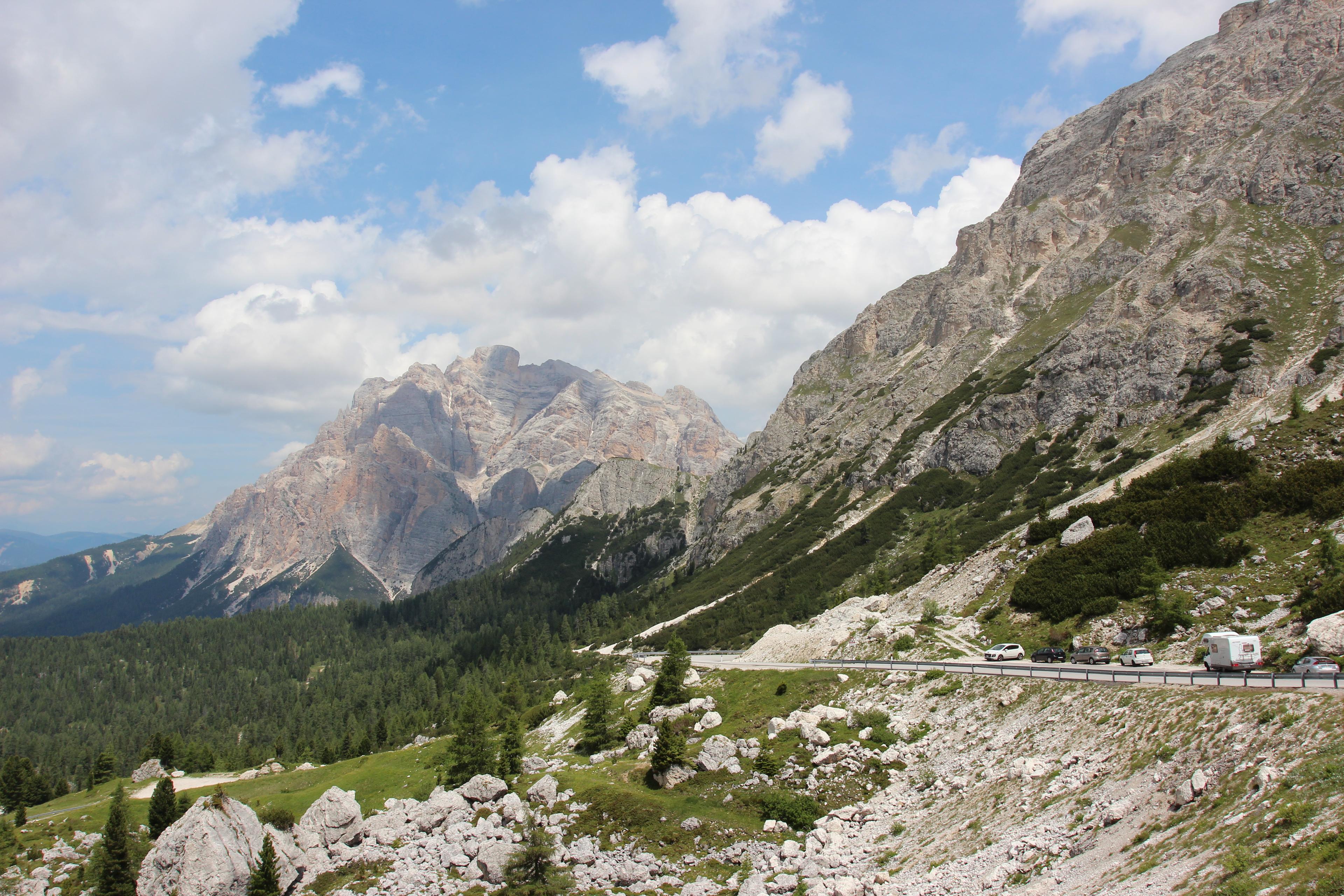
CHAPTER 0397–139 KM
The way back to Alta Badia
The descent from Giau leads towards Pocol, where the route turns west for Falzarego. This is another long ascent, followed by the short continuation to Valparola. The two passes are close together, but they mark separate moments in the journey: Falzarego opens the crossing, Valparola sends the road back towards Alta Badia.
The descent runs towards San Cassiano and La Villa. There is one last interruption before Corvara: Mür dl Giat, a short, steep detour through La Villa. After the high passes, its scale is small and its gradient abrupt. Beyond it, the road climbs gently back towards the finish in Corvara, completing the long return from Giau.
07Passo Falzarego
~117.9 kmFrom Pocol · east to west
- Climb distance
- 10.25 km
- Average gradient
- 5.5%
- Category
- Cat 2
A long return to high ground after Giau. The Maratona continues uphill towards Valparola rather than descending west.
View climb details ↗08Passo Valparola
~119.1 kmFrom Pocol via Falzarego · southeastern approach
- Climb distance
- 11.36 km
- Average gradient
- 5.7%
- Category
- Cat 1
The short continuation above Falzarego precedes the long descent towards San Cassiano and La Villa.
These figures cover the full ascent from Pocol over Falzarego, including the final continuation to Valparola.
View climb details ↗09Mür dl Giat
~134.2 kmThrough La Villa · late detour
- Climb distance
- 0.38 km
- Average gradient
- 12.4%
- Category
- Uncategorised
A short, steep rise before the return to Corvara. Its steepest ramps reach 19%.
View climb details ↗
Passo Giau, beneath the Dolomite towers. Photo: Eric Kilby. CC BY-SA 2.0 · Cropped for display.
About 87 kilometres in
The defining climb:
Passo Giau.
9.3%
Average gradient over 9.9 km
Giau climbs for nearly ten kilometres from the Selva di Cadore side, averaging 9.3%. Wooded bends give way to open slopes and the rock towers above the pass. It is the long course’s most sustained steep ascent, with the climb beginning after almost 90 kilometres of riding.
Its position matters as much as its gradient. Campolongo has already been climbed twice, and Pordoi, Sella and Gardena are behind you. At the top, the road opens beneath the rock towers, but Corvara is still on the far side of Falzarego and Valparola. Giau is a turning point in the day, rather than its final obstacle.
The southern ascent of Giau
Sustained climbing · a closer lookPass markers show approximate high points along the route. Select a dot or a climb button to see its statistics.Swipe across the profile to follow the whole section.
Passo Giau ~97.3 km into the ride
From Selva di Cadore · southern approach
- Climb distance
- 9.53 km
- Average gradient
- 9.5%
- Climb category
- HC
Put it on your calendar
Ride the Maratona.
Start in La Villa and finish in Corvara. Download the long-course track or explore the official course, then check the organiser’s latest information to plan your event day.
Route statistics: 138.6 km distance · 4,230 m official ascent · 2,243 m highest point. Elevation totals vary between services.
Route track: Maratona dles Dolomites official course.
Event routes and road access can change. Check the organiser’s latest route information before riding. This page describes the classic 138 km course, not a particular event edition. Event road closures do not imply traffic-free riding on other days; check local conditions before setting out.
Keep the day with you
Every pass.
Every contour.
Your Maratona.
The opening circuit and the long road home, made into a poster. Choose your colours and keep the shape of the day, with every key pass and its elevation profile beneath the route.
Create your route artwork ↗