Oisans and Maurienne, French Alps · Classic course
Marmotte Granfondo
Alpes.
High passes, deep valleys and 5,000 metres of climbing. A grand Alpine journey with the bends of Alpe d’Huez still waiting at the end.
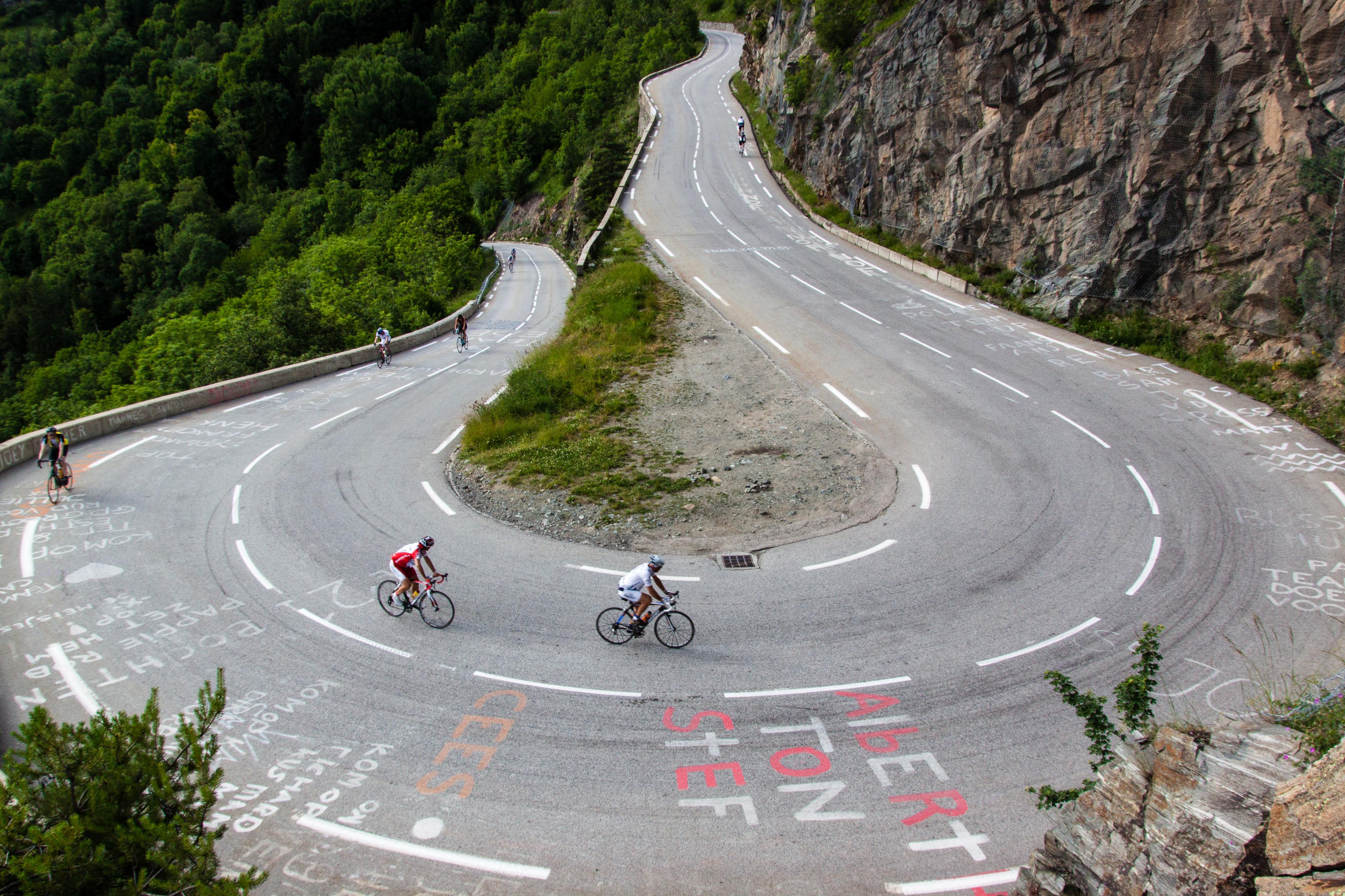
Alpe d’Huez: the bends above Bourg d’Oisans. Photo: Robbie Shade. CC BY 2.0 · Cropped for display.
High passes. A finish above the valley.
A day you will
remember.
The Marmotte joins together roads that could each fill a day of their own. Glandon opens the crossing from Oisans into the Maurienne. Télégraphe leads towards Valloire, then Galibier carries the ride into the high mountains. Back in Bourg d’Oisans, the road turns uphill once more: the finish is above the valley, at Alpe d’Huez.
Its scale lies in the changes between those places. A long opening ascent, another valley, two linked passes and a descent that brings the starting village back into view. The final climb begins after more than 160 kilometres of riding. Those familiar hairpins belong to a much larger journey by the time you reach them.
- The distance
- 175.9km
- Metres to climb
- 5,000m
- Alpe d’Huez · numbered bends
- 21
Distance follows the downloadable GPX; ascent is the organiser’s official 5,000 m.
Read the road
The Alps, then the Alpe.
The final ascent of Alpe d’Huez · distance in km, elevation in m
Pass markers show approximate high points along the route. Select a dot or a climb button to see its statistics.Swipe across the profile to follow the whole section.
Glandon, Télégraphe and Galibier precede the long descent via Lautaret. Alpe d’Huez is the last ascent. Select a marker to explore its place in the ride.
One day. Three chapters.
A whole landscape,
one ride.
Cross from Oisans into the Maurienne, reach Galibier and return to the foot of the Alpe. Follow the chapters along the GPX; background contours are decorative.
Out of Oisans
0–80 km · Bourg d’Oisans · Glandon · Maurienne
The road into the high Alps
80–115 km · Télégraphe · Valloire · Galibier
Back to the valley. Up to the Alpe.
115–176 km · Lautaret · Bourg d’Oisans · Alpe d’Huez
CHAPTER 010–80 KM
Out of Oisans
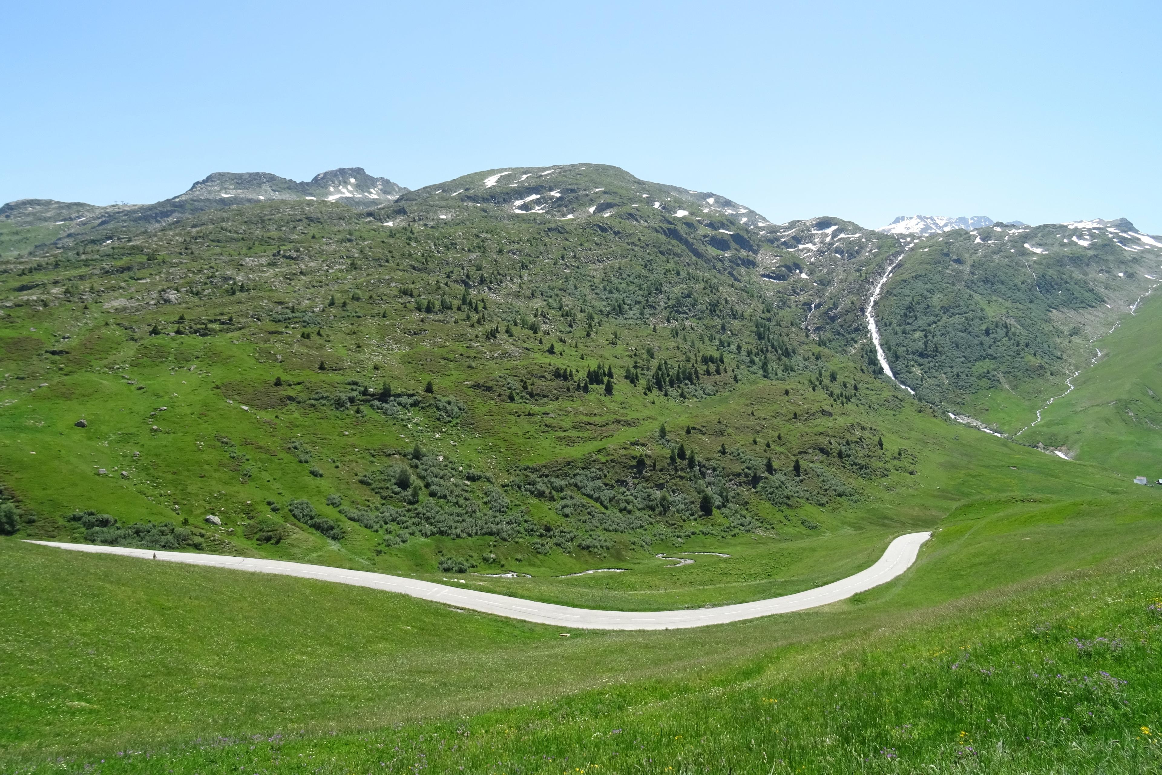
The opening roads leave Bourg d’Oisans towards Allemond before turning into the mountains. Glandon is approached from the Oisans side, with changes of gradient and interruptions to the climbing rather than a single uninterrupted ramp. The pass arrives about 37 kilometres into the route, opening the crossing into the Maurienne.
On the northern side, the road drops towards Saint-Étienne-de-Cuines. This is the descent whose timing is neutralised during the event; the clock’s pause does not make the road any less demanding. Beyond it, the route follows the valley towards Saint-Michel-de-Maurienne, where the next ascent begins.
01Col du Glandon
~36.7 kmFrom Allemond · Oisans approach
- Climb distance
- 27.84 km
- Average gradient
- 4.2%
- Category
- HC
The opening pass carries the route from Oisans into the Maurienne. The northern descent leads to the valley road towards Saint-Michel-de-Maurienne.
The climb page follows the southern approach from Allemond. The northern side from Saint-Étienne-de-Cuines is descended on this route.
View climb details ↗

CHAPTER 0280–115 KM
The road into the high Alps
From Saint-Michel-de-Maurienne, Télégraphe lifts the road above the valley. Its wooded ascent leads to a pass that is also a gateway: on the other side lies Valloire, and beyond the village the northern road to Galibier. A descent separates the two climbs, but they form one long passage through the mountains.
Galibier changes the setting again. Above Valloire, the road reaches Plan Lachat and the open upper valley, with rock and mountain slopes replacing the shelter of Télégraphe. The summit crossing comes about 115 kilometres into the ride. From here the route turns south towards Lautaret, leaving the Maurienne behind.
02Col du Télégraphe
~91.9 kmFrom Saint-Michel-de-Maurienne · northern approach
- Climb distance
- 11.96 km
- Average gradient
- 6.8%
- Category
- HC
A wooded ascent from the Maurienne valley. Descend on the far side towards Valloire before climbing Galibier.
View climb details ↗03Col du Galibier
~114.9 kmFrom Valloire · northern approach
- Climb distance
- 17.80 km
- Average gradient
- 6.7%
- Category
- HC
The high crossing after Valloire and Plan Lachat. The descent on the southern side leads towards Lautaret.
The climb page starts in Valloire, after Télégraphe and the descent from its summit.
View climb details ↗
CHAPTER 03115–176 KM
Back to the valley. Up to the Alpe.
Lautaret is a waypoint on the descent, rather than another summit to climb. At the junction, the route turns west along the valley road towards Bourg d’Oisans. This long return links the high passes to the final ascent; its tunnels make working lights essential.
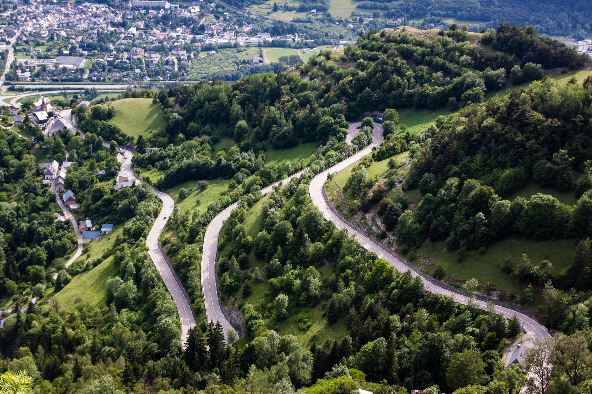
Bourg d’Oisans is familiar ground, but the finish is still above it. The D211 rises through the numbered bends of Alpe d’Huez, passing La Garde and Huez on the way to the resort. After the broad sweep through the mountains, the route ends with a concentrated climb out of the valley where the day began.
04Col du Lautaret
~123.6 kmOn the descent from Galibier · turn west towards Bourg d’Oisans
- Climb distance
- 8.47 km
- Average gradient
- -6.5%
- Category
- Uncategorised
A descent waypoint, not an additional ascent. At the pass, join the valley road back towards Oisans.
View climb details ↗05Alpe d’Huez
~175.9 kmFrom Bourg d’Oisans · D211 and the 21 bends
- Climb distance
- 13.80 km
- Average gradient
- 8.7%
- Category
- HC
The final ascent begins about 163 kilometres into the route. Climb through La Garde and Huez to finish in the resort.
The climb page follows the same ascent but continues to a different finish within the resort.
View climb details ↗
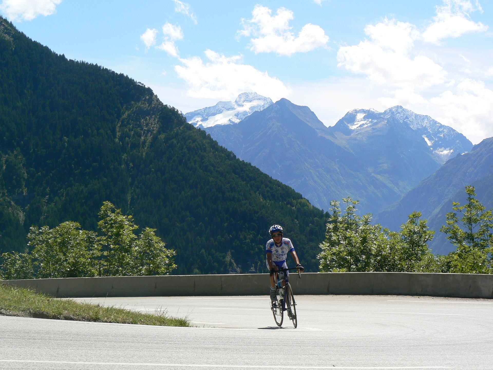
A cyclist on the Alpe d’Huez ascent Photo: Jks93. Public domain · Cropped for display.
About 163 kilometres in
One last ascent:
Alpe d’Huez.
21
Numbered bends on Alpe d’Huez
The bend numbers count down as the road gains height. From the valley floor, the steep opening leads towards La Garde; higher up, the climb passes Huez before the last bends bring the resort into reach. It is an ascent with a clear shape of its own, and it begins with Glandon, Télégraphe and Galibier already behind you.
The Marmotte gives these roads a different scale. Alpe d’Huez is the closing climb of a day that has crossed two mountain regions and returned to its starting valley. The finish lies in the resort: getting back to Bourg d’Oisans is the beginning of the final chapter, rather than its end.
The final ascent of Alpe d’Huez
The last climb · a closer lookPass markers show approximate high points along the route. Select a dot or a climb button to see its statistics.Swipe across the profile to follow the whole section.
Alpe d’Huez ~175.9 km into the ride
From Bourg d’Oisans · D211 and the 21 bends
The climb page follows the same ascent but continues to a different finish within the resort.
Climb-page figures
- Climb distance
- 13.80 km
- Average gradient
- 8.7%
- Climb category
- HC
Put it on your calendar
Ride the Marmotte.
Start in Bourg d’Oisans and finish at Alpe d’Huez. Download the reviewed classic-course GPX and check the official course and event information before planning your ride.
Route statistics: 175.9 km distance · 5,000 m official ascent · 2,562 m highest point. Elevation totals vary between services.
Route track: Marmotte Granfondo Alpes official GPX.
Event routes and road access can change. Check the organiser’s latest route information before riding. This feature follows the classic course linked by the organiser, not a particular event edition. Carry working lights for the tunnels; the event requires lighting and visibility equipment. Check pass openings and local road conditions. Event road arrangements do not apply to independent rides.
Keep the day with you
Every pass.
Every contour.
Your Marmotte.
The crossing into the Maurienne, the high road over Galibier and the final turn towards the Alpe, made into a poster. Choose your colours and keep the route and profile of the whole day.
Create your route artwork ↗