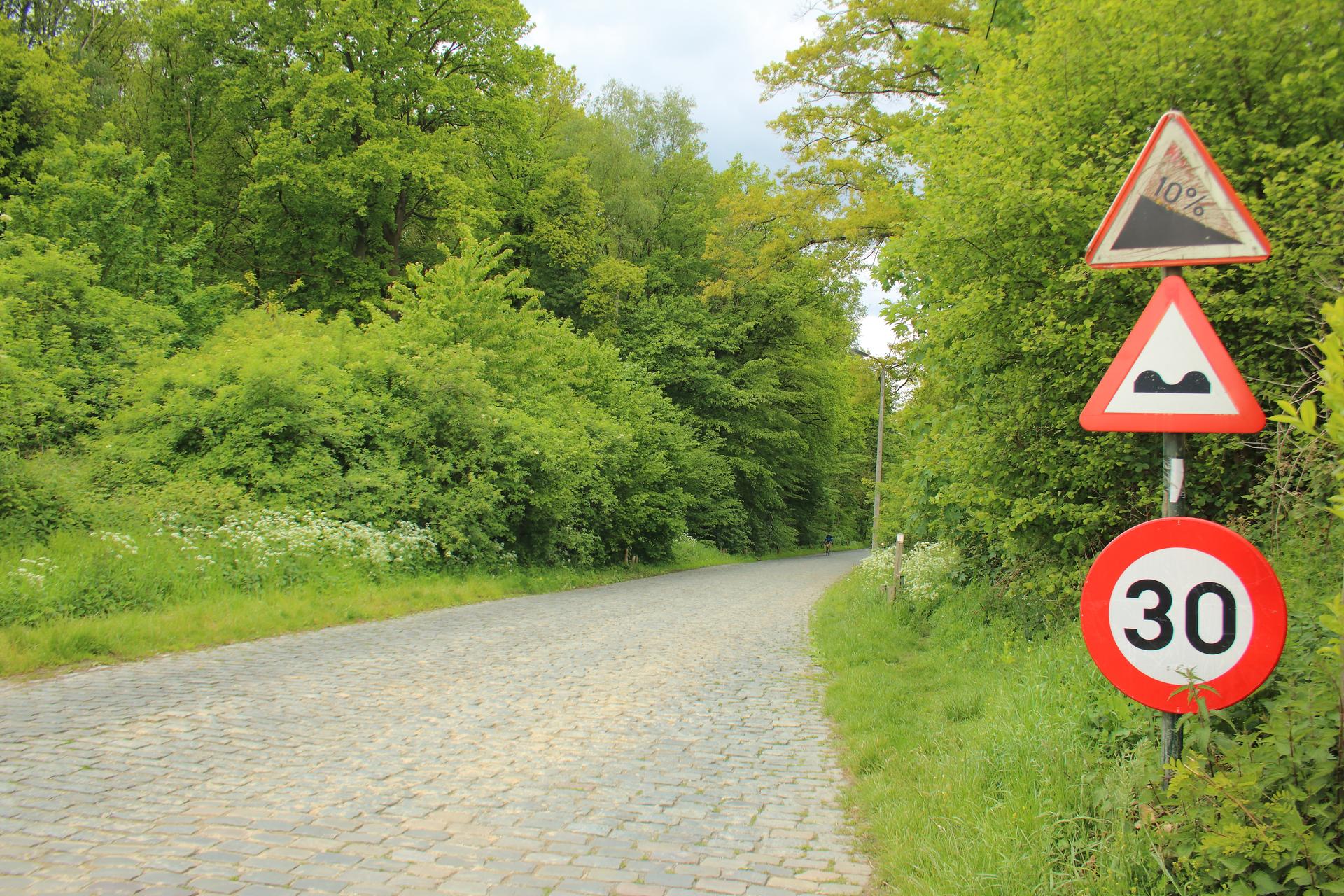
The Bosberg approaches from Atembeke on the west, following a road that draws steadily closer to the Raspaillebos. The lower section is not cobbled: the familiar stones begin as the ascent enters the woodland. That change of surface gives the climb its shape, separating the more open approach from the harder passage among the trees. The selected route includes both parts, rather than only the short stretch of cobbles that supplies its most recognisable image.
At about 1.35 kilometres, the ascent has time to gather resistance before the upper road. The slope strengthens as the trees close around it, and the cobbles bring an additional demand just when climbing becomes more purposeful. This is a broader road than many of the region's narrow stone lanes, though its width does not remove the work. The woodland edge near the finish makes a distinct release. Bosberg is a gradual arrival at a firmer, well-defined conclusion.
01 / The ascent
Elevation profile
02 / The numbers
Climb statistics
- Distance
- 1.35 km
- Elevation gain
- 68 m
- Average gradient
- 5.0%
- Climb category
- Uncategorized
- Start elevation
- 34 m
- Summit elevation
- 102 m
03 / Your effort
How long would it take?
Enter the power you could hold for the whole climb. We calculate a moving time from the elevation profile and the forces you ride against.
Use your intended climbing effort, rather than FTP unless you can hold it for the predicted duration.
Bike + kit includes clothing, bottles and luggage.
Advanced settings
Defaults represent a road-bike scenario. Adjust these settings to match your tyres, drivetrain and riding position.
Modelled moving time
5 min
- Power throughout
- 225 W
- Average speed
- 15.8 km/h
Based on the 1.35 km elevation profile. Assumes steady power, with no stops, braking or drafting. Rounded to the nearest minute.
The science behind the calculation
For each part of the stored profile, we solve the steady-state cycling power equation for speed, then add distance ÷ speed across the climb. Gravity uses rider + equipment weight; available power is W/kg × rider weight. This uses the profile’s distance and elevation together, without mixing in another route’s metrics.
Power × efficiency = gravity + rolling resistance + air resistance + bearing losses
The resistance equations are adapted from Martin et al. (1998), Validation of a Mathematical Model for Road Cycling Power. Air density changes with profile altitude using NASA’s standard-atmosphere model. This calculator’s adaptation has not been independently validated.
It predicts travel at the power you enter, including on descents. It does not model acceleration, cornering, braking, traffic, wind, changing weather or fatigue. At altitude, choose power you can sustain there: thinner air reduces drag, but this model does not predict its effect on your ability to produce power. Profile quality and assumed equipment settings also affect the result.
04 / On the ground
Route map
Route overview
Bosberg
Geraardsbergen, Vlaanderen, Belgium
- Route length
- 1.35 km
- Total ascent
- 68 m
- Average gradient
- 5.0%
05 / Take it home
The climb, as artwork
Turn the route into a personalised topographic print. Choose your colours and composition, then download your artwork.
06 / Keep exploring
Nearby climbs
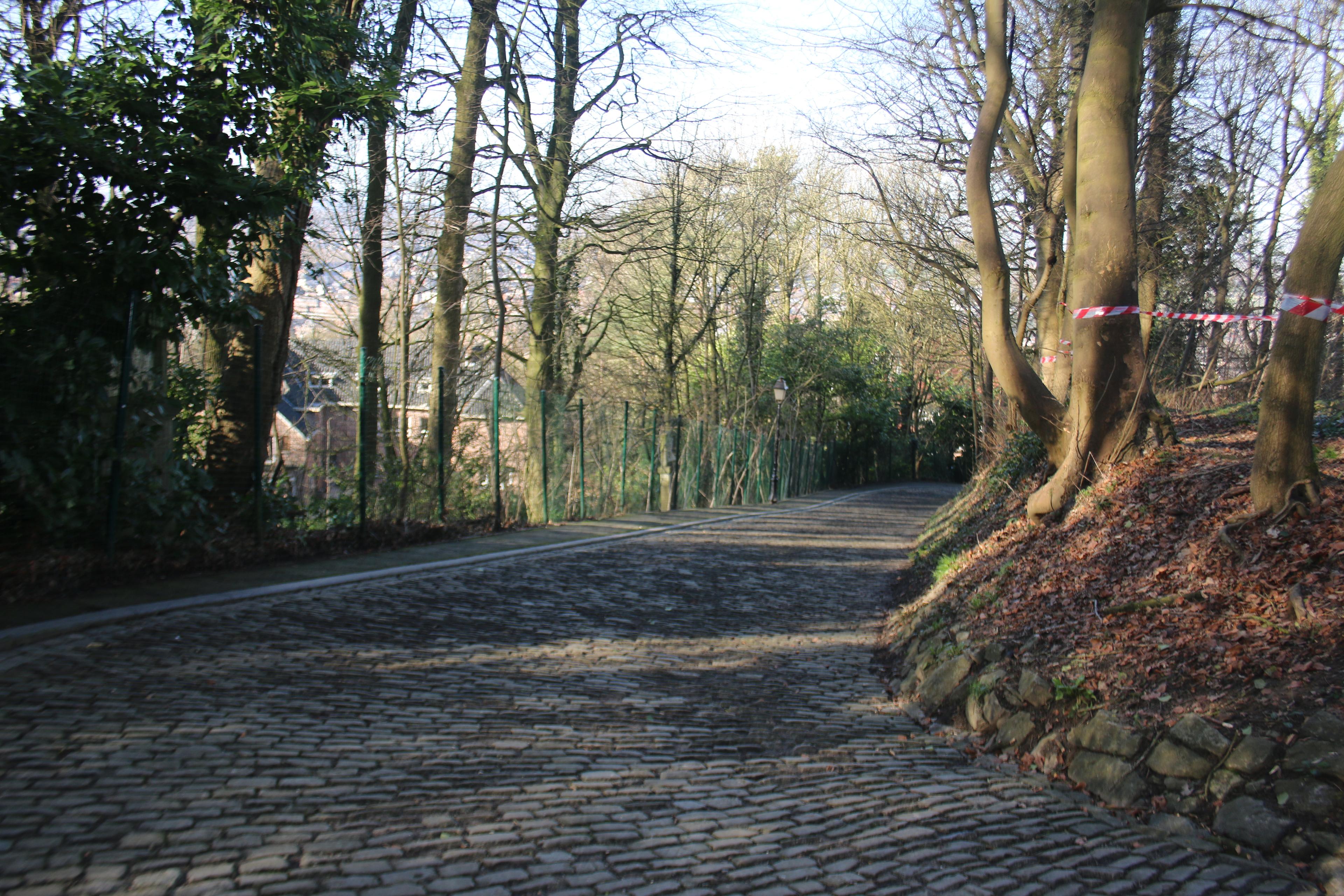
Muur van Geraardsbergen
1.1 km · 8.7% · 89 m gain
Geraardsbergen, Vlaams Gewest, Belgium
2.9 km away · Explore climb →

Rue de Lessines
0.7 km · 6.2% · 46 m gain
Lessines, Walloon Region, Belgium
7.3 km away · Explore climb →
Vijverdal
0.3 km · 4.6% · 17 m gain
Lierde, Vlaanderen, Belgium
10.2 km away · Explore climb →

Berendries
1.0 km · 6.5% · 62 m gain
Brakel, Vlaanderen, Belgium
13.0 km away · Explore climb →
Les Plachettes
1.0 km · 6.1% · 64 m gain
Flobecq, Région Wallonne, Belgium
13.4 km away · Explore climb →