A rolling climb averaging 5.7% on Dartmoor. Scenic with moorland views and open roads, moderate gradient makes it accessible for club riders.
01 / The ascent
Elevation profile
02 / The numbers
Climb statistics
- Distance
- 4.12 km
- Elevation gain
- 239 m
- Average gradient
- 5.7%
- Climb category
- 3
- Start elevation
- 62 m
- Summit elevation
- 297 m
03 / On the ground
Route map
Route overview
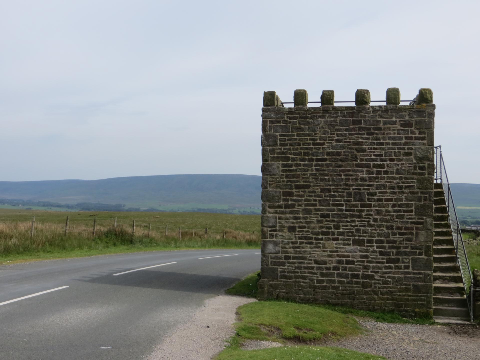
Jubilee Tower
Lancaster, UK, England, United Kingdom
- Route length
- 4.12 km
- Total ascent
- 239 m
- Average gradient
- 5.7%
04 / Take it home
The climb, as artwork
Turn the route into a personalised topographic print. Choose your colours and composition, then download your artwork.
05 / Keep exploring
Nearby climbs

Cross of Greet
2.9 km · 6.3% · 185 m gain
Clitheroe BB7, UK, England, United Kingdom
19.2 km away · Explore climb →

Nick O’ Pendle
2.7 km · 6.7% · 180 m gain
Clitheroe, Lancashire, United Kingdom
31.2 km away · Explore climb →

Langcliffe Scar
2.0 km · 8.4% · 171 m gain
Langcliffe, England, United Kingdom
31.7 km away · Explore climb →
Barley Hill
0.7 km · 11.2% · 73 m gain
Burnley, England, United Kingdom
36.7 km away · Explore climb →
Fleet Moss
5.4 km · 5.9% · 320 m gain
DL8, UK, England, United Kingdom
46.7 km away · Explore climb →