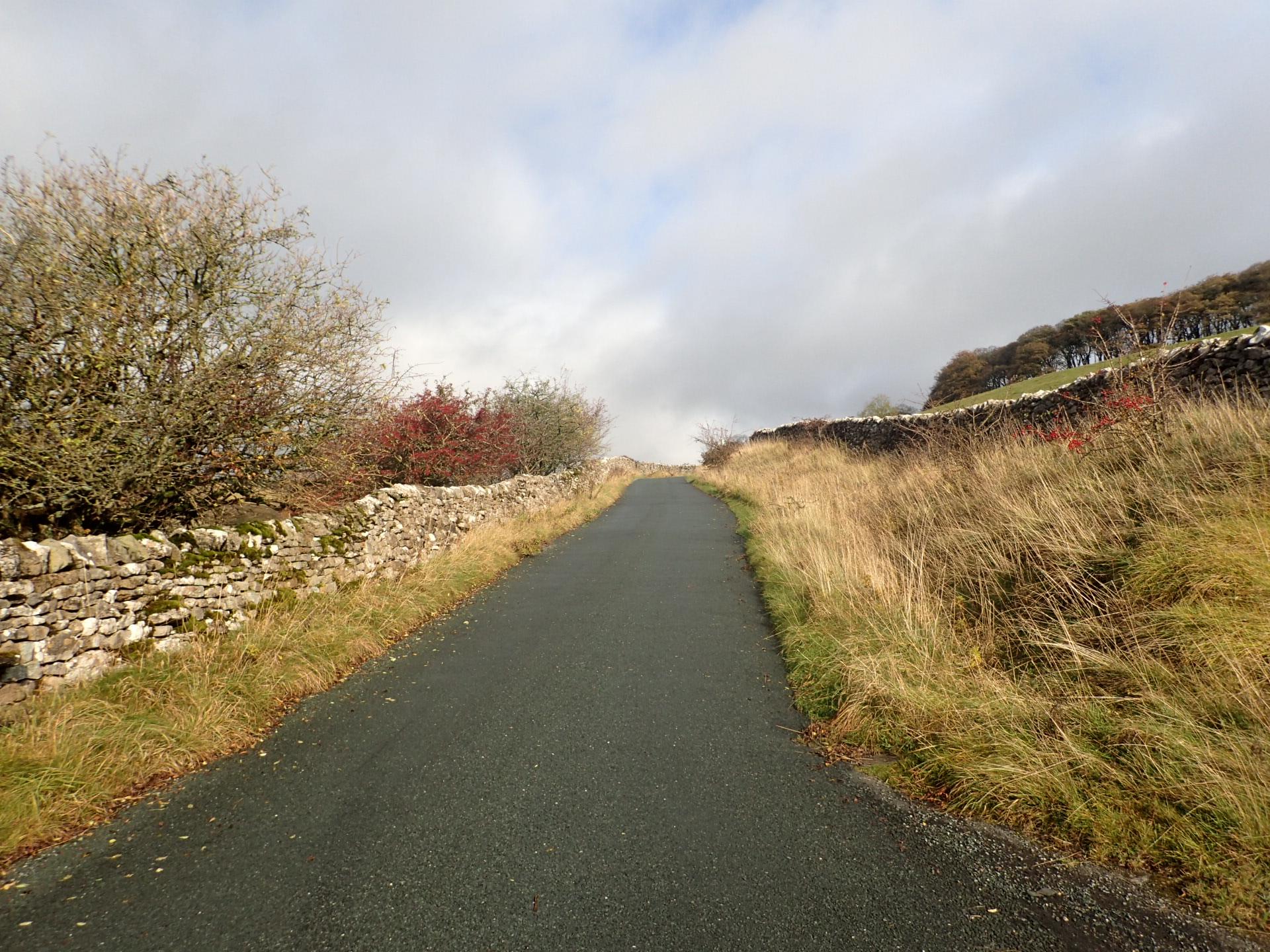
Park Rash hits hard from the first pedal stroke. The gradient demands attention, and your legs soon realize this isn’t going to be a gentle ride.
Narrow lanes and high hedgerows funnel you upward, the road teasing a rhythm before jerking you into steeper pitches. The climb has personality, relentless but fair.
At the top, you’re gasping, but there’s pride in surviving its sharp, brief challenge. A climb for riders who enjoy a punchy, uncompromising test of strength.
01 / The ascent
Elevation profile
02 / The numbers
Climb statistics
- Distance
- 2.18 km
- Elevation gain
- 240 m
- Average gradient
- 10.7%
- Climb category
- 3
- Start elevation
- 292 m
- Summit elevation
- 525 m
03 / On the ground
Route map
Route overview
Park Rash
Skipton BD23, UK, England, United Kingdom
- Route length
- 2.18 km
- Total ascent
- 240 m
- Average gradient
- 10.7%
04 / Take it home
The climb, as artwork
Turn the route into a personalised topographic print. Choose your colours and composition, then download your artwork.
05 / Keep exploring
Nearby climbs

Langcliffe Scar
2.0 km · 8.4% · 171 m gain
Langcliffe, England, United Kingdom
17.8 km away · Explore climb →

Fleet Moss
5.4 km · 5.9% · 320 m gain
DL8, UK, England, United Kingdom
18.5 km away · Explore climb →
Buttertubs
5.0 km · 5.4% · 269 m gain
Hawes, United Kingdom
19.8 km away · Explore climb →

Cross of Greet
2.9 km · 6.3% · 185 m gain
Clitheroe BB7, UK, England, United Kingdom
31.3 km away · Explore climb →
East Morton Bank
1.2 km · 9.7% · 117 m gain
East Morton, England, United Kingdom
34.1 km away · Explore climb →