The climb · United Kingdom
About Ben Lawers
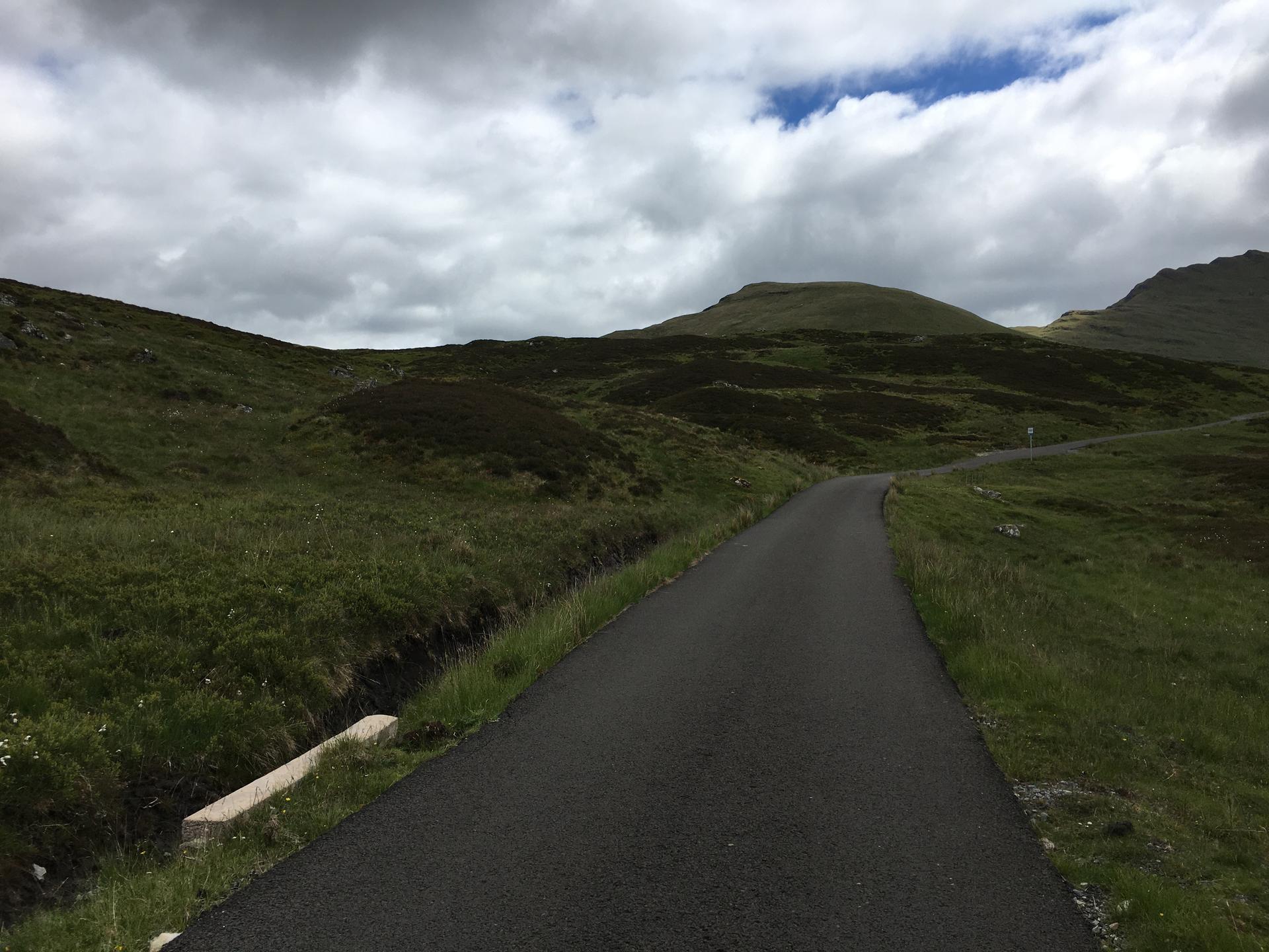
The northern approach to the Ben Lawers road leaves Glen Lyon near Bridge of Balgie and climbs south towards Lochan na Lairige. This is a crossing between mountain groups, with the Ben Lawers range on one side and the Tarmachan hills on the other. The road follows the contours into higher, more open ground, gradually exchanging the valley below for a landscape of slopes and water. The climb's name belongs to the mountain, but the bicycle route reaches a road pass rather than its summit.
Across about 7.1 kilometres, the ascent gains roughly 343 metres. The length gives the effort a sustained character, with the road continuing towards the reservoir rather than presenting one short, decisive ramp. The water and surrounding hills provide a clear sense of arrival in the upper section. From this side, Ben Lawers is a measured ascent into a notably spacious setting.
01 / The ascent
Elevation profile
02 / The numbers
Climb statistics
- Distance
- 7.14 km
- Elevation gain
- 343 m
- Average gradient
- 4.8%
- Climb category
- 2
- Start elevation
- 210 m
- Summit elevation
- 553 m
03 / On the ground
Route map
Route overview
Ben Lawers
Aberfeldy, Scotland, United Kingdom
- Route length
- 7.14 km
- Total ascent
- 343 m
- Average gradient
- 4.8%
04 / Take it home
The climb, as artwork
Turn the route into a personalised topographic print. Choose your colours and composition, then download your artwork.
05 / Keep exploring
Nearby climbs

Kenmore Hill
5.2 km · 7.9% · 412 m gain
Kenmore, Scotland, United Kingdom
19.8 km away · Explore climb →
Trinafore Hill
3.1 km · 6.0% · 184 m gain
Pitlochry, Scotland, United Kingdom
23.3 km away · Explore climb →

Rest and Be Thankful
4.2 km · 6.1% · 258 m gain
Cairndow, UK, Scotland, United Kingdom
56.5 km away · Explore climb →
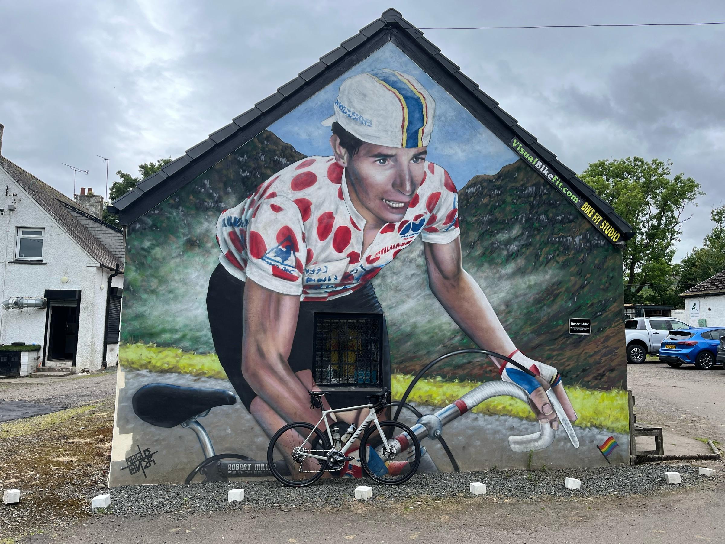
Crow Road
5.6 km · 4.8% · 286 m gain
Lennoxtown, United Kingdom
68.8 km away · Explore climb →
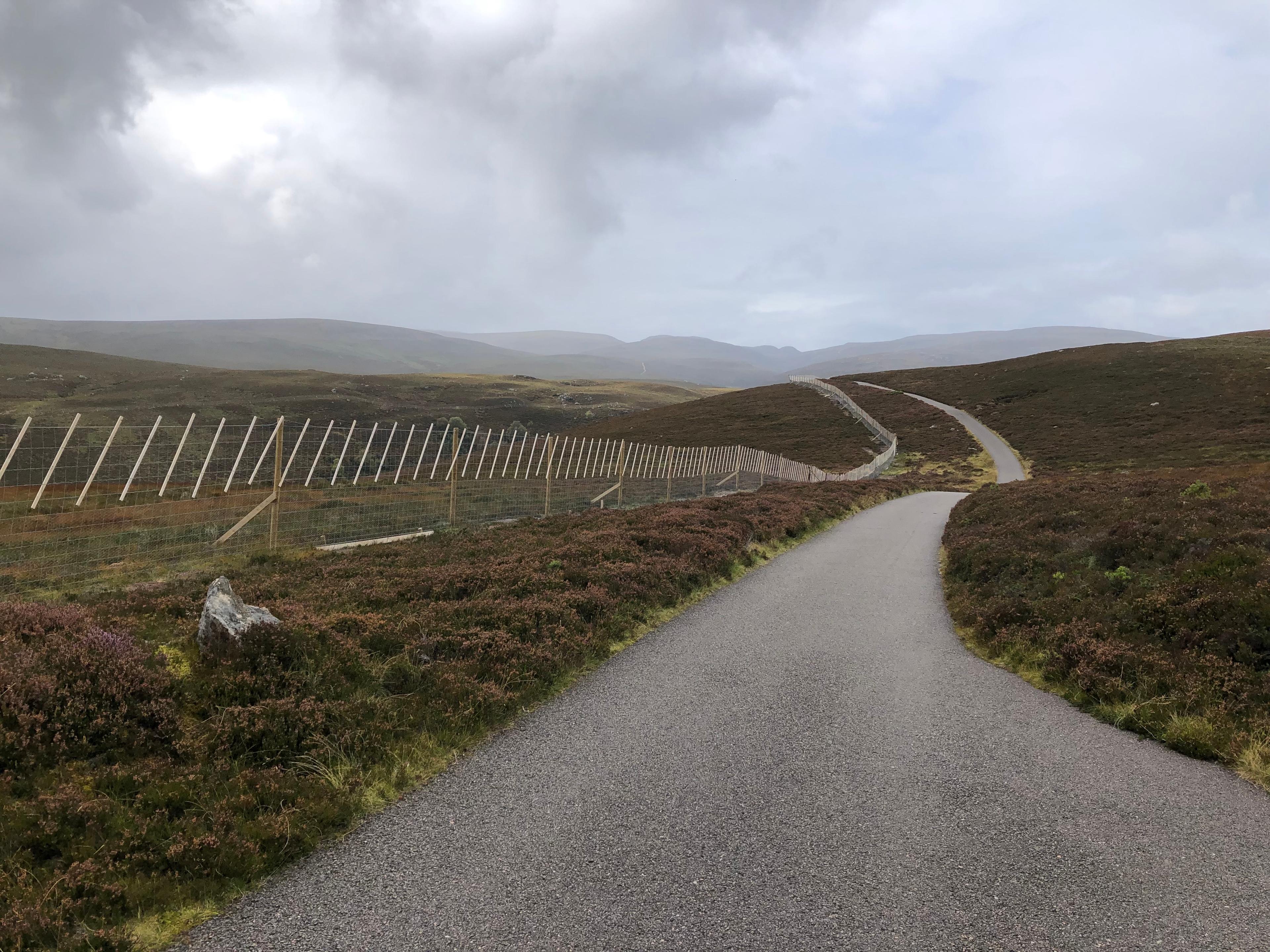
Glen Kyllachy
1.9 km · 6.5% · 127 m gain
Inverness, Scotland, United Kingdom
79.9 km away · Explore climb →