The climb · United Kingdom
About Cairn o' Mount
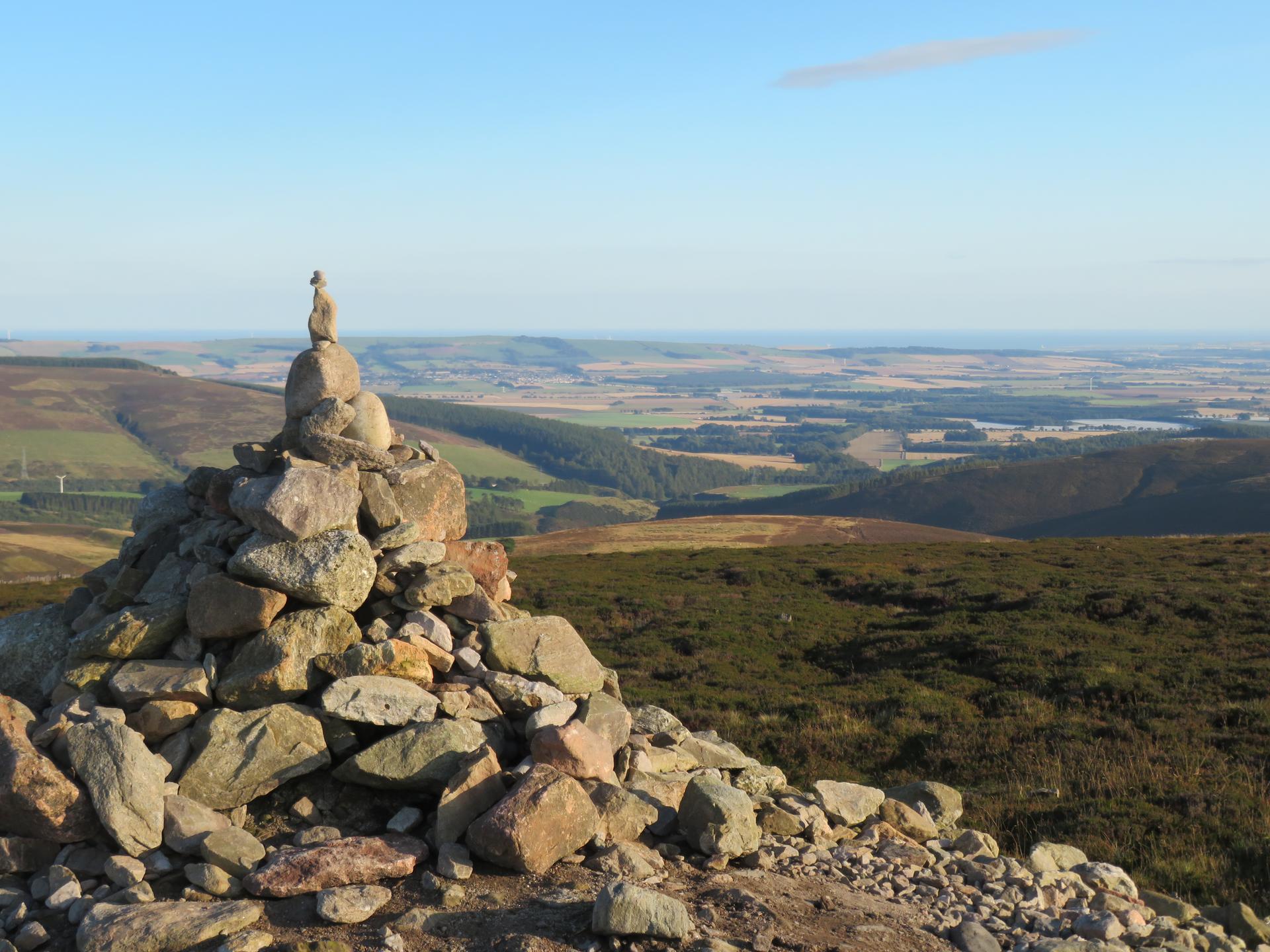
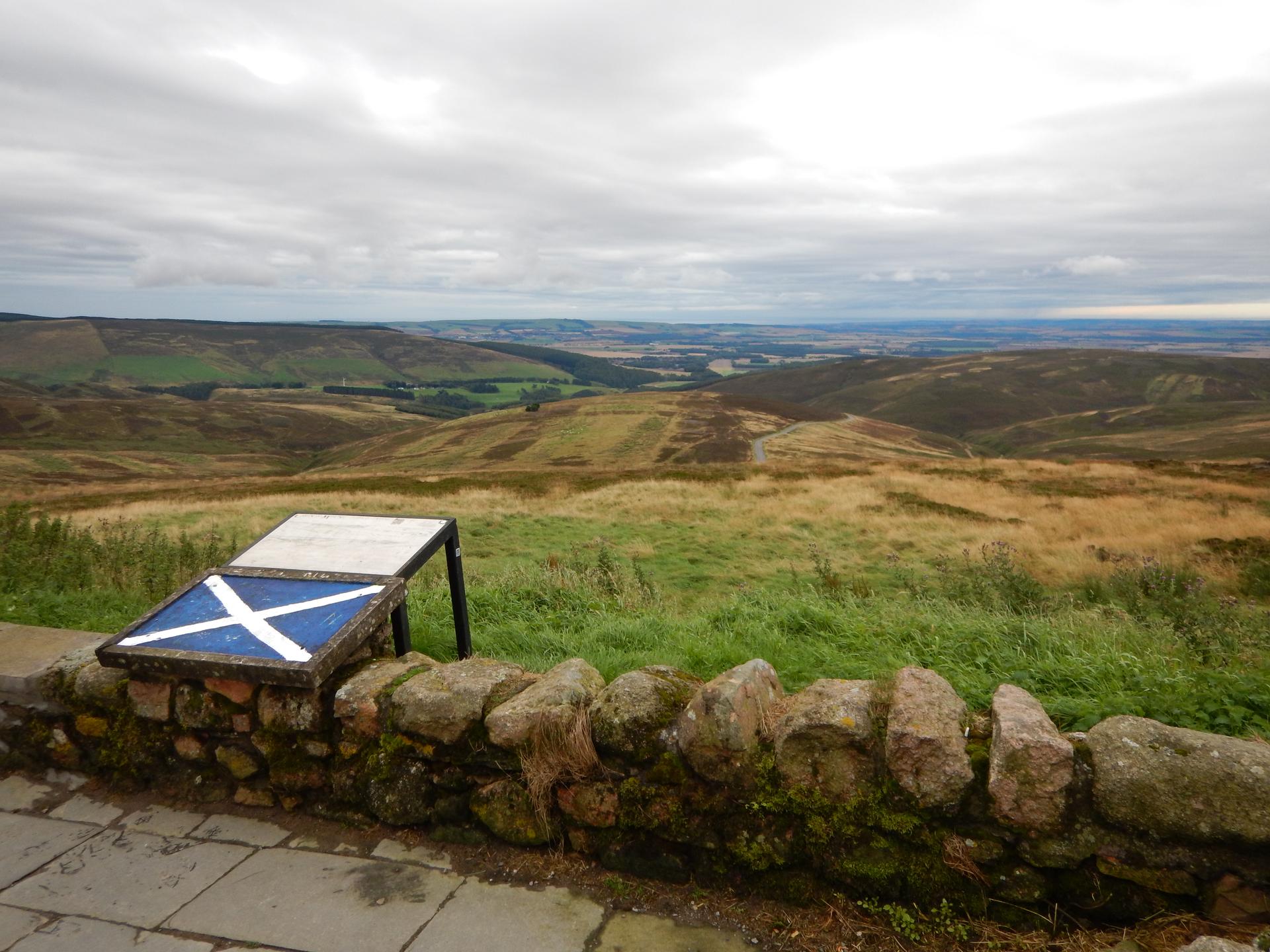
Cairn O’ Mount feels wild and exposed, with the road climbing steadily through open Scottish landscape. The gradient is serious enough to demand respect, especially as the wind often joins the fight.
The climb feels remote, and the effort becomes as much about determination as strength. Each bend reveals more sky and less shelter.
At the top, the sense of space is immense. This is a climb that suits riders who enjoy isolation and the raw honesty of open roads.
01 / The ascent
Elevation profile
02 / The numbers
Climb statistics
- Distance
- 3.30 km
- Elevation gain
- 323 m
- Average gradient
- 9.8%
- Climb category
- 2
- Start elevation
- 131 m
- Summit elevation
- 454 m
03 / On the ground
Route map
Route overview
Cairn o' Mount
Laurencekirk AB30, UK, Scotland, United Kingdom
- Route length
- 3.30 km
- Total ascent
- 323 m
- Average gradient
- 9.8%
04 / Take it home
The climb, as artwork
Turn the route into a personalised topographic print. Choose your colours and composition, then download your artwork.
05 / Keep exploring
Nearby climbs

Trinafore Hill
3.1 km · 6.0% · 184 m gain
Pitlochry, Scotland, United Kingdom
94.7 km away · Explore climb →
Kenmore Hill
5.2 km · 7.9% · 412 m gain
Kenmore, Scotland, United Kingdom
94.7 km away · Explore climb →
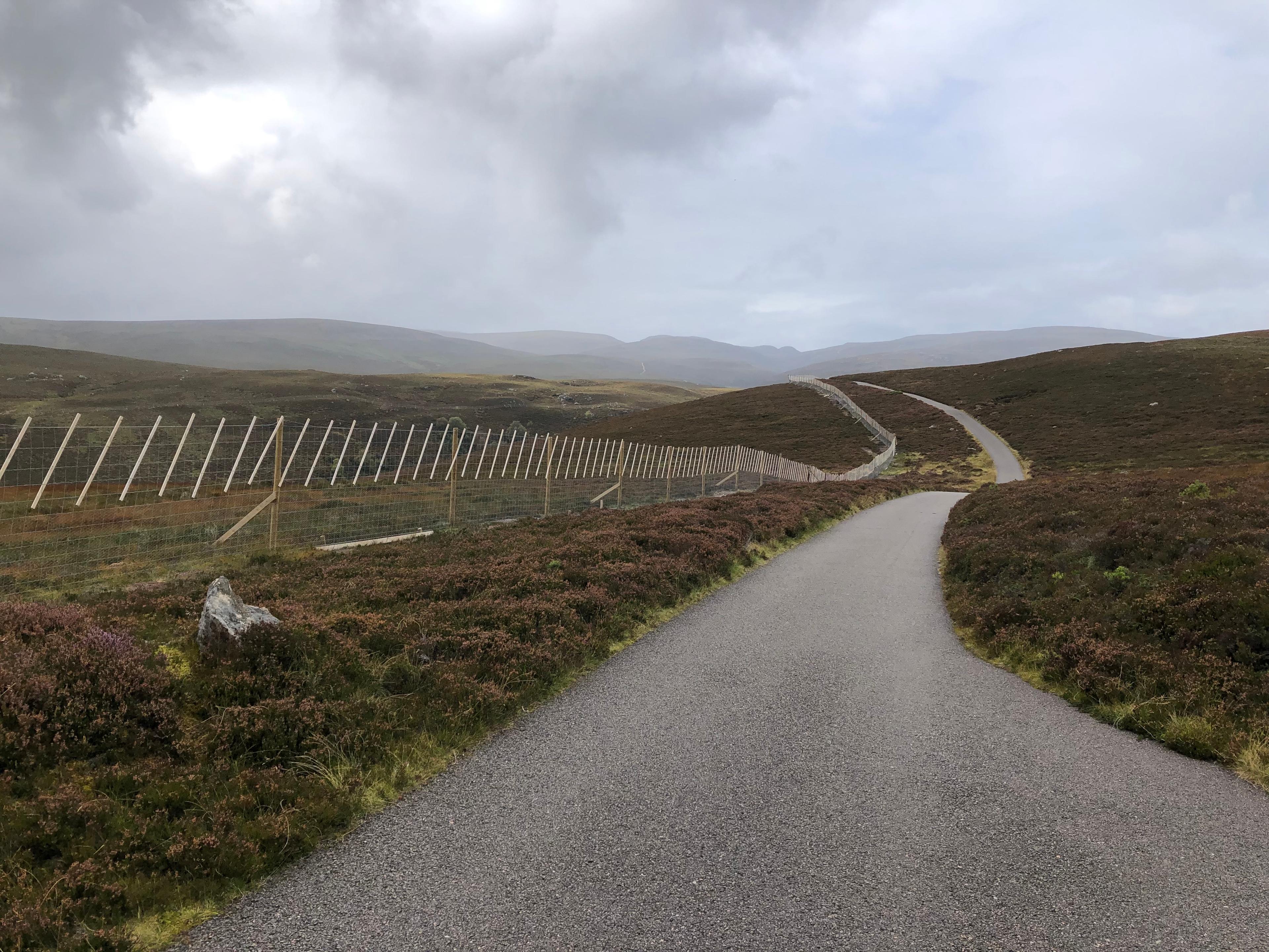
Glen Kyllachy
1.9 km · 6.5% · 127 m gain
Inverness, Scotland, United Kingdom
102.3 km away · Explore climb →

Crow Road
5.6 km · 4.8% · 286 m gain
Lennoxtown, United Kingdom
144.0 km away · Explore climb →

Struie Hill
3.8 km · 5.1% · 193 m gain
Ardgay, Scotland, United Kingdom
149.8 km away · Explore climb →