
The climb · Austria
About Oscheniksee
From Außerfragant, the road towards Oscheniksee first follows the valley through Innerfragant before turning onto the narrow reservoir service road. This full approach covers roughly 16 kilometres, giving the steep upper ascent a substantial introduction. Once the hairpins begin, the character becomes more enclosed and concentrated: a thin ribbon of tarmac works repeatedly across the wooded slope, with little room for the effort to settle into anything easy.
The sustained steepness matters more than any single ramp. Bends arrive in close succession, while straighter stretches keep the climbing pressure on between them. Higher up, the woodland gives way to a more open mountain setting and the dam becomes the clear destination. The contrast between those tight lower turns and the reservoir landscape is the climb’s reward. Oscheniksee is a compact journey into high country, earned through unusually persistent work.
01 / The ascent
Elevation profile
02 / The numbers
Climb statistics
- Distance
- 16.14 km
- Elevation gain
- 1,660 m
- Average gradient
- 9.9%
- Climb category
- HC
- Start elevation
- 712 m
- Summit elevation
- 2,308 m
03 / On the ground
Route map
Route overview
Oscheniksee
Kärnten, Austria
- Route length
- 16.14 km
- Total ascent
- 1,660 m
- Average gradient
- 9.9%
04 / Take it home
The climb, as artwork
Turn the route into a personalised topographic print. Choose your colours and composition, then download your artwork.
05 / Keep exploring
Nearby climbs

Stronach
2.6 km · 12.5% · 327 m gain
Tirol, Austria
23.8 km away · Explore climb →
Monte Crostis
13.6 km · 10.1% · 1381 m gain
Runchia, Friuli-Venezia Giulia, Italy
49.6 km away · Explore climb →
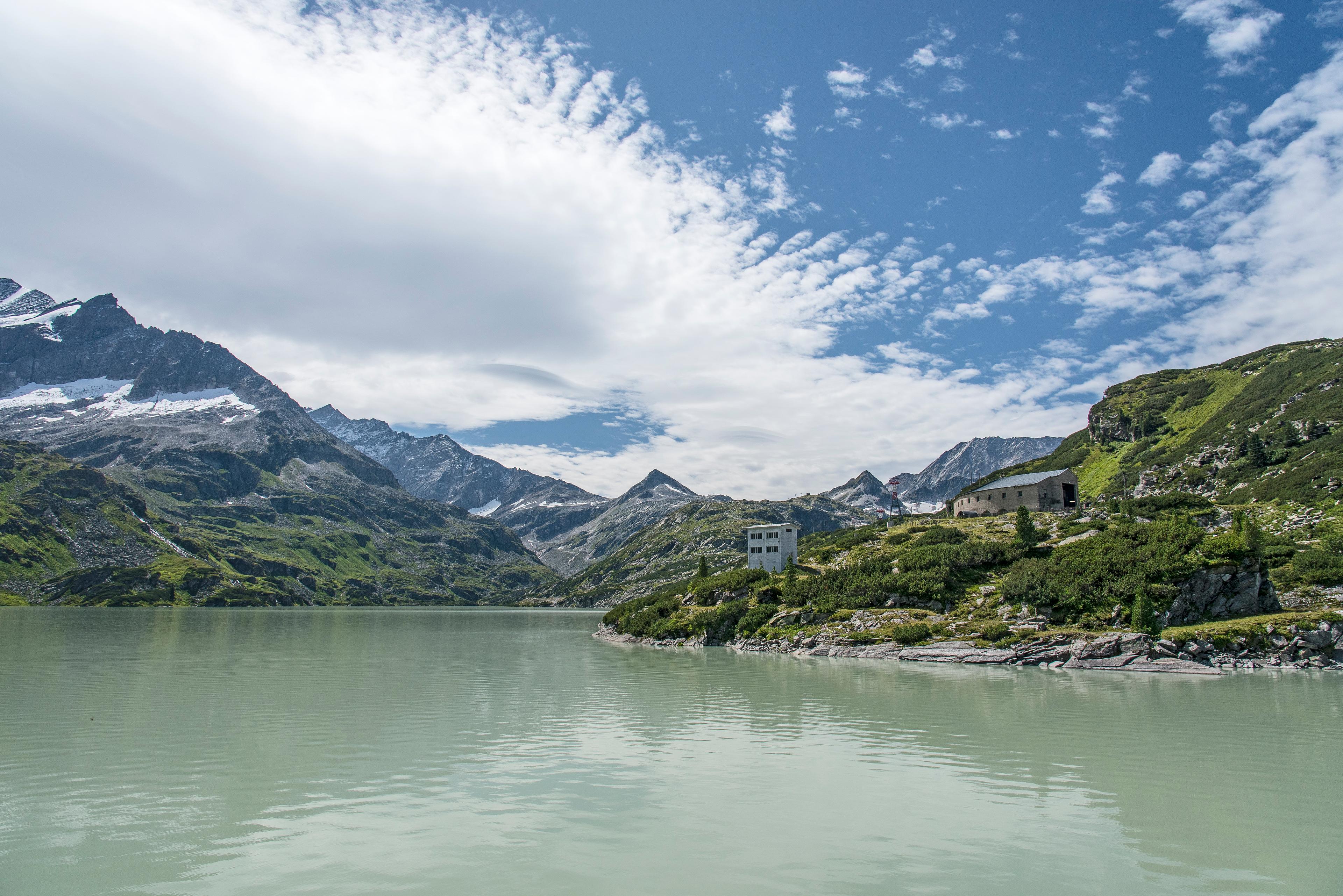
Tauernmoossee
21.5 km · 6.1% · 1385 m gain
Salzburg, Austria
56.0 km away · Explore climb →
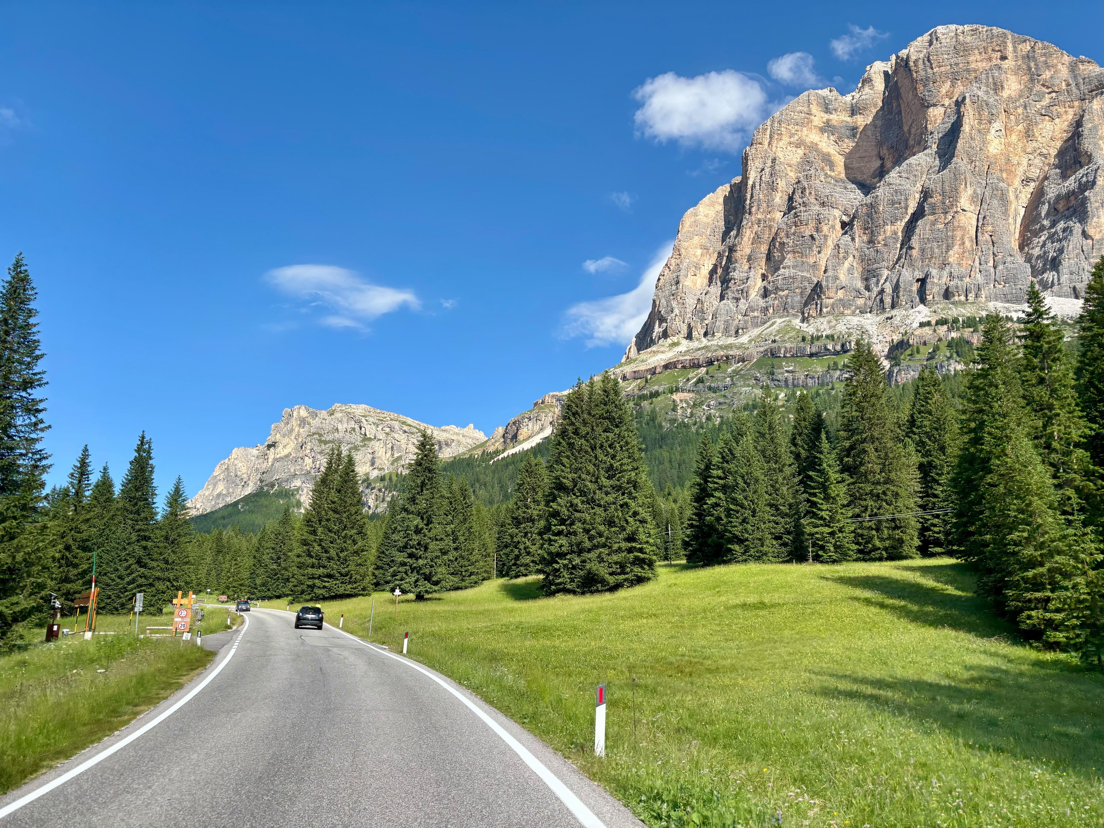
Passo Valparola from Pocol
11.4 km · 5.7% · 780 m gain
Belluno, Italy, Veneto, Italy
89.1 km away · Explore climb →
Passo delle Erbe
14.4 km · 6.4% · 1018 m gain
Longega, Trentino-Alto Adige/Südtirol, Italy
96.1 km away · Explore climb →