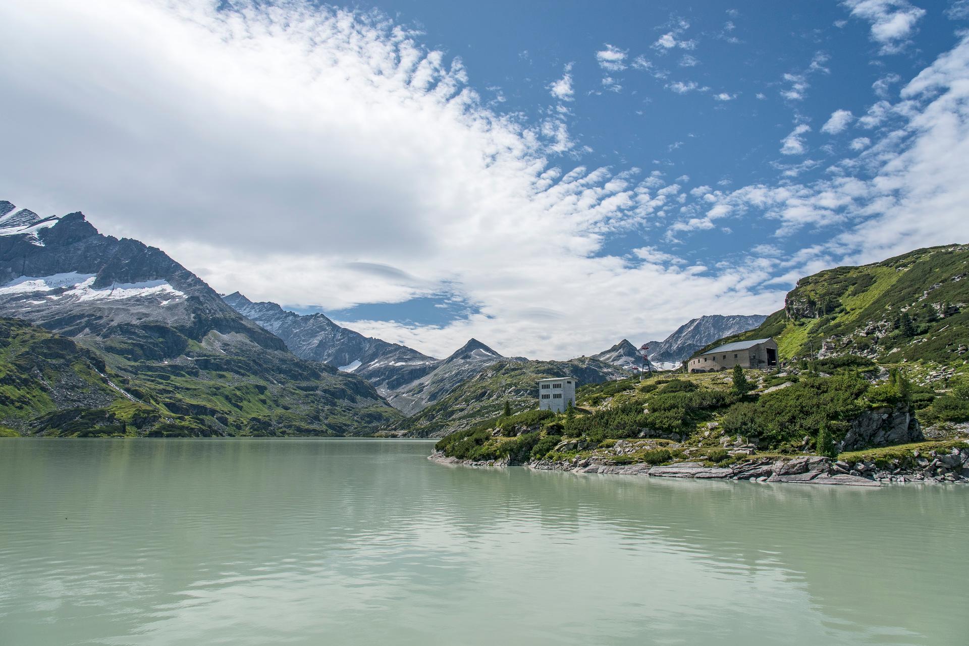
The climb · Austria
About Tauernmoossee
The approach towards Tauernmoossee leads south from Uttendorf through the Stubachtal, exchanging the broad valley around the town for a road drawn deeper into the Hohe Tauern. The lower journey allows the mountain setting to develop gradually. Further in, the climbing becomes more pronounced and the upper road turns the ride into a distinctly alpine ascent. It is the contrast between those stages that gives the route its character.
The route extends for more than 21 kilometres into high reservoir country, where the view is shaped by the surrounding mountains and the great dam of Tauernmoossee. Much of the route is surfaced, but the upper section belongs to a designated mountain-bike itinerary rather than an unrestricted road over a pass. Keep to the signed cycling route and its permitted hours. The reward is a steady change of scale, from village roads to a landscape built around water and rock.
01 / The ascent
Elevation profile
02 / The numbers
Climb statistics
- Distance
- 21.49 km
- Elevation gain
- 1,385 m
- Average gradient
- 6.1%
- Climb category
- HC
- Start elevation
- 776 m
- Summit elevation
- 2,090 m
03 / On the ground
Route map
Route overview
Tauernmoossee
Salzburg, Austria
- Route length
- 21.49 km
- Total ascent
- 1,385 m
- Average gradient
- 6.1%
04 / Take it home
The climb, as artwork
Turn the route into a personalised topographic print. Choose your colours and composition, then download your artwork.
05 / Keep exploring
Nearby climbs

Stronach
2.6 km · 12.5% · 327 m gain
Tirol, Austria
54.3 km away · Explore climb →
Oscheniksee
16.1 km · 9.9% · 1660 m gain
Kärnten, Austria
56.0 km away · Explore climb →
Achensee
7.3 km · 5.4% · 398 m gain
Wiesing, Tirol, Austria
59.5 km away · Explore climb →
Gramai
6.4 km · 4.1% · 260 m gain
Tirol, Austria
69.6 km away · Explore climb →
Passo delle Erbe
14.4 km · 6.4% · 1018 m gain
Longega, Trentino-Alto Adige/Südtirol, Italy
80.8 km away · Explore climb →