
01 / The ascent
Elevation profile
Gradient by distance2.61 km / 327 m gain
0 km0.5 km1 km1.6 km2.1 km2.6 km
02 / The numbers
Climb statistics
- Distance
- 2.61 km
- Elevation gain
- 327 m
- Average gradient
- 12.5%
- Climb category
- 2
- Start elevation
- 726 m
- Summit elevation
- 1,053 m
03 / On the ground
Route map
Route overview
Stronach
Tirol, Austria
- Route length
- 2.61 km
- Total ascent
- 327 m
- Average gradient
- 12.5%
04 / Take it home
The climb, as artwork
Turn the route into a personalised topographic print. Choose your colours and composition, then download your artwork.
Artwork studio loads as you approach this section.
05 / Keep exploring
Nearby climbs

Oscheniksee
16.1 km · 9.9% · 1660 m gain
Kärnten, Austria
23.8 km away · Explore climb →
Monte Crostis
13.6 km · 10.1% · 1381 m gain
Runchia, Friuli-Venezia Giulia, Italy
34.2 km away · Explore climb →
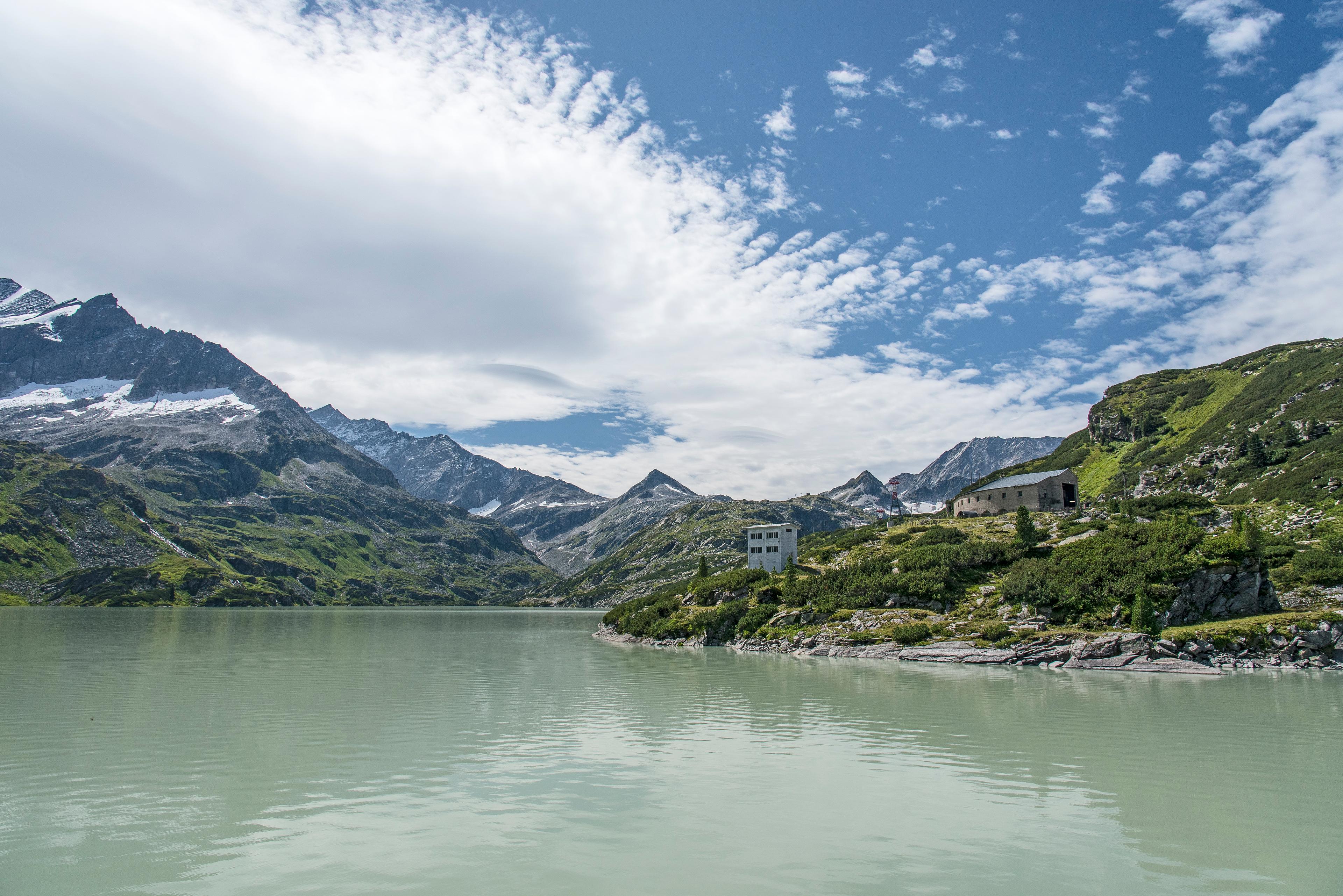
Tauernmoossee
21.5 km · 6.1% · 1385 m gain
Salzburg, Austria
54.3 km away · Explore climb →
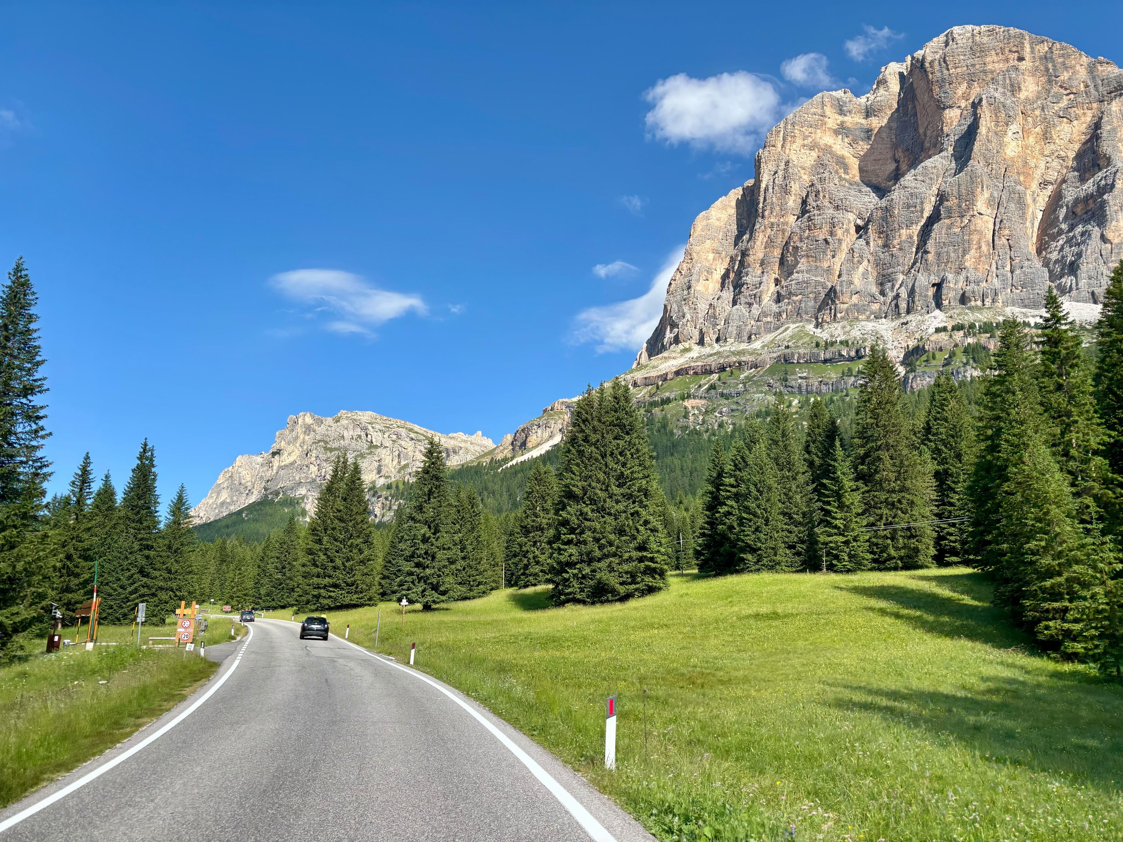
Passo Valparola from Pocol
11.4 km · 5.7% · 780 m gain
Belluno, Italy, Veneto, Italy
65.3 km away · Explore climb →
Passo delle Erbe
15.2 km · 5.8% · 1019 m gain
San Martino In Badia, Trentino-Alto Adige, Italy
73.5 km away · Explore climb →