
The climb · Isle of Bute PA20, UK
About Serpentine Hill
Collections
The Serpentine turns a small piece of Rothesay into a tightly packed climbing exercise. Above the town, the road zigzags back and forth across the hillside, giving each short straight its own steep corner at the end. The ascent is only about 700 metres long, but an average gradient close to 10 per cent makes the distance a poor guide to the effort involved.
Here, the shape of the road matters more than a grand summit view. The repeated turns interrupt your cadence and keep the next piece of uphill close at hand, while the town's streets give the climb a distinctly urban setting. The upper road remains below the summit of Canada Hill, so this is the Serpentine ascent rather than a climb to the top of the hill itself. Its compact scale and elaborate bends make it a distinctive little climb.
01 / The ascent
Elevation profile
02 / The numbers
Climb statistics
- Distance
- 0.70 km
- Elevation gain
- 69 m
- Average gradient
- 9.8%
- Climb category
- Uncategorized
- Start elevation
- 18 m
- Summit elevation
- 87 m
03 / On the ground
Route map
Route overview
Serpentine Hill
Rothesay, Isle of Bute PA20, UK
- Route length
- 0.70 km
- Total ascent
- 69 m
- Average gradient
- 9.8%
04 / Take it home
The climb, as artwork
Turn the route into a personalised topographic print. Choose your colours and composition, then download your artwork.
05 / Keep exploring
Nearby climbs
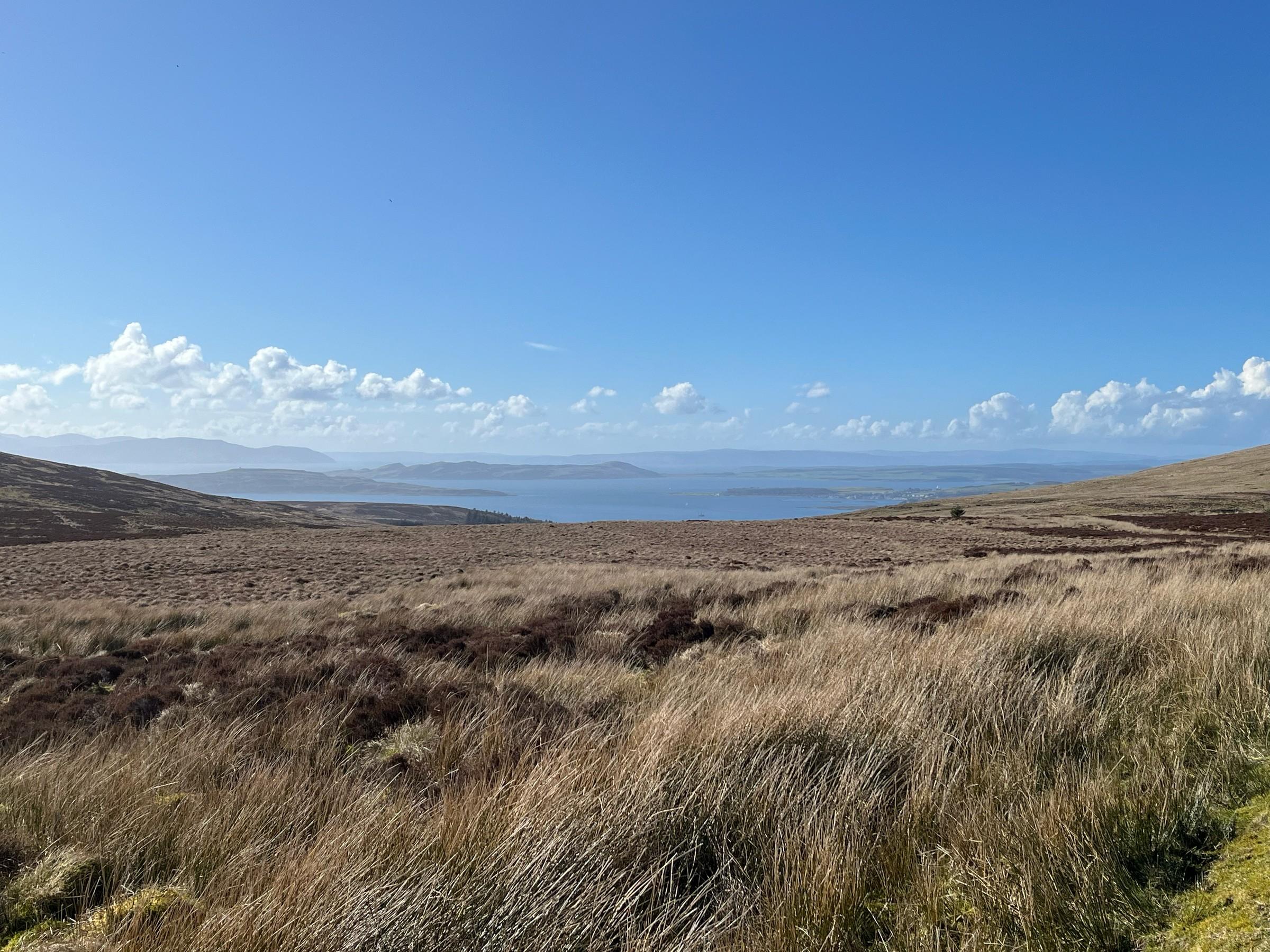
Fairlie Moor
3.3 km · 7.1% · 238 m gain
Largs, Scotland, United Kingdom
16.2 km away · Explore climb →

Rest and Be Thankful
4.2 km · 6.1% · 258 m gain
Cairndow, UK, Scotland, United Kingdom
41.8 km away · Explore climb →
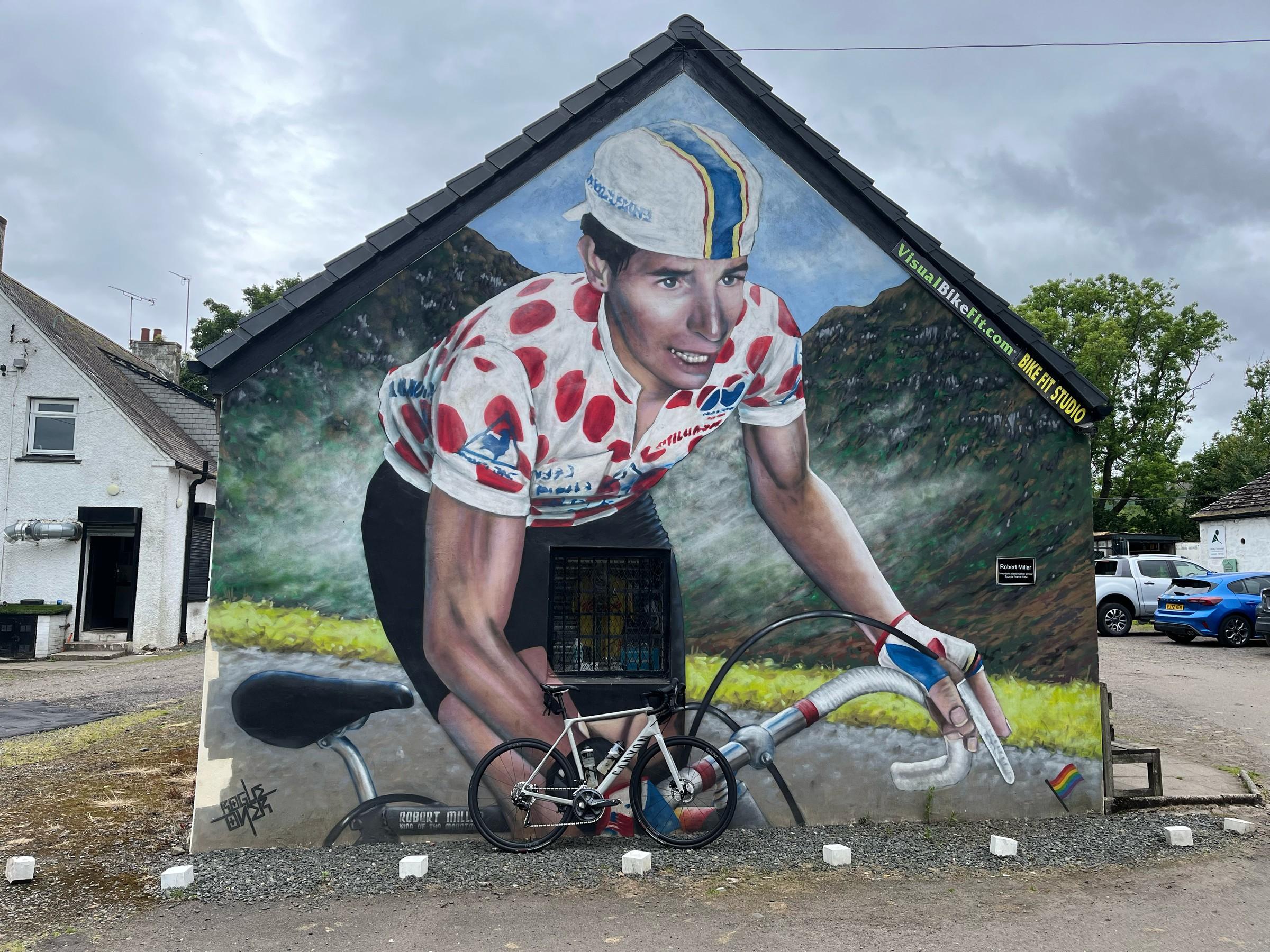
Crow Road
5.6 km · 4.8% · 286 m gain
Lennoxtown, United Kingdom
55.1 km away · Explore climb →
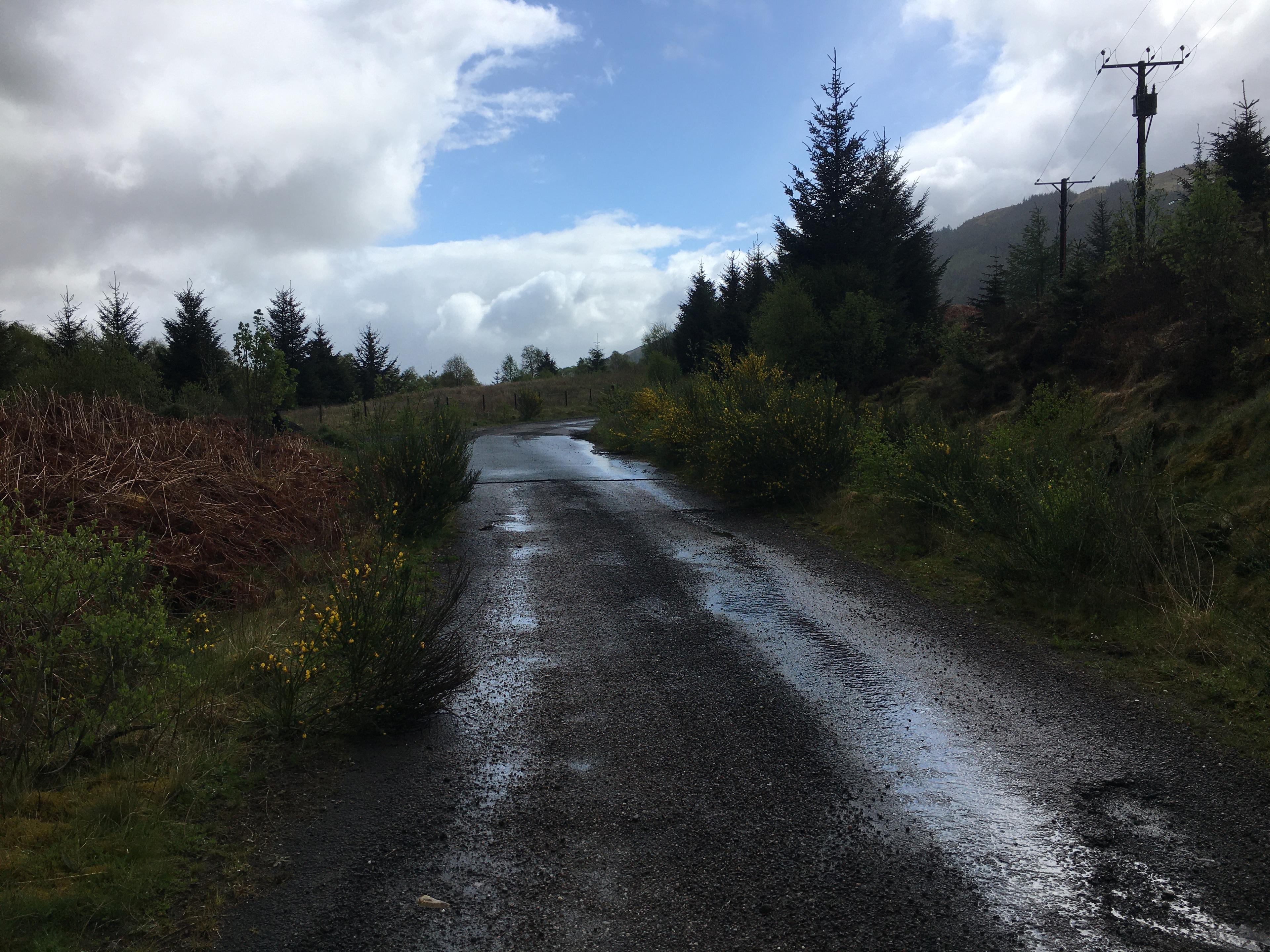
Ben More Road
3.6 km · 3.8% · 134 m gain
Isle of Mull, Scotland, United Kingdom
94.6 km away · Explore climb →

Kenmore Hill
5.2 km · 7.9% · 412 m gain
Kenmore, Scotland, United Kingdom
105.6 km away · Explore climb →