The climb · United Kingdom
About The Cairnwell
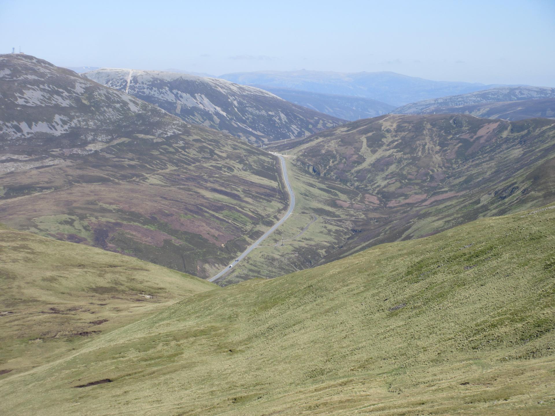
The southern road to the Cairnwell Pass spends much of its length following the valley rather than confronting the hillside. North of Spittal of Glenshee, the A93 runs between broad, treeless slopes, with the river tracing a less direct line beside it. Across roughly 8.2 kilometres, the opening kilometres leave room to look around: the height comes gradually and the pass remains some way ahead. This is a climb whose scale becomes clearer as the valley narrows towards its head.
The character changes in the upper section, where the road gains height much more insistently towards Glenshee Ski Centre. An average of about 4% gives little sense of that finish. The surrounding hills remain open to the weather, and the ski infrastructure marks the road's destination below the mountain summit. The long introduction and concentrated final effort give the Cairnwell a pleasingly distinct shape.
01 / The ascent
Elevation profile
02 / The numbers
Climb statistics
- Distance
- 8.18 km
- Elevation gain
- 329 m
- Average gradient
- 4.0%
- Climb category
- 2
- Start elevation
- 345 m
- Summit elevation
- 674 m
03 / On the ground
Route map
Route overview
The Cairnwell
Blairgowrie, UK, Scotland, United Kingdom
- Route length
- 8.18 km
- Total ascent
- 329 m
- Average gradient
- 4.0%
04 / Take it home
The climb, as artwork
Turn the route into a personalised topographic print. Choose your colours and composition, then download your artwork.
05 / Keep exploring
Nearby climbs

Trinafore Hill
3.1 km · 6.0% · 184 m gain
Pitlochry, Scotland, United Kingdom
38.9 km away · Explore climb →
Kenmore Hill
5.2 km · 7.9% · 412 m gain
Kenmore, Scotland, United Kingdom
41.9 km away · Explore climb →
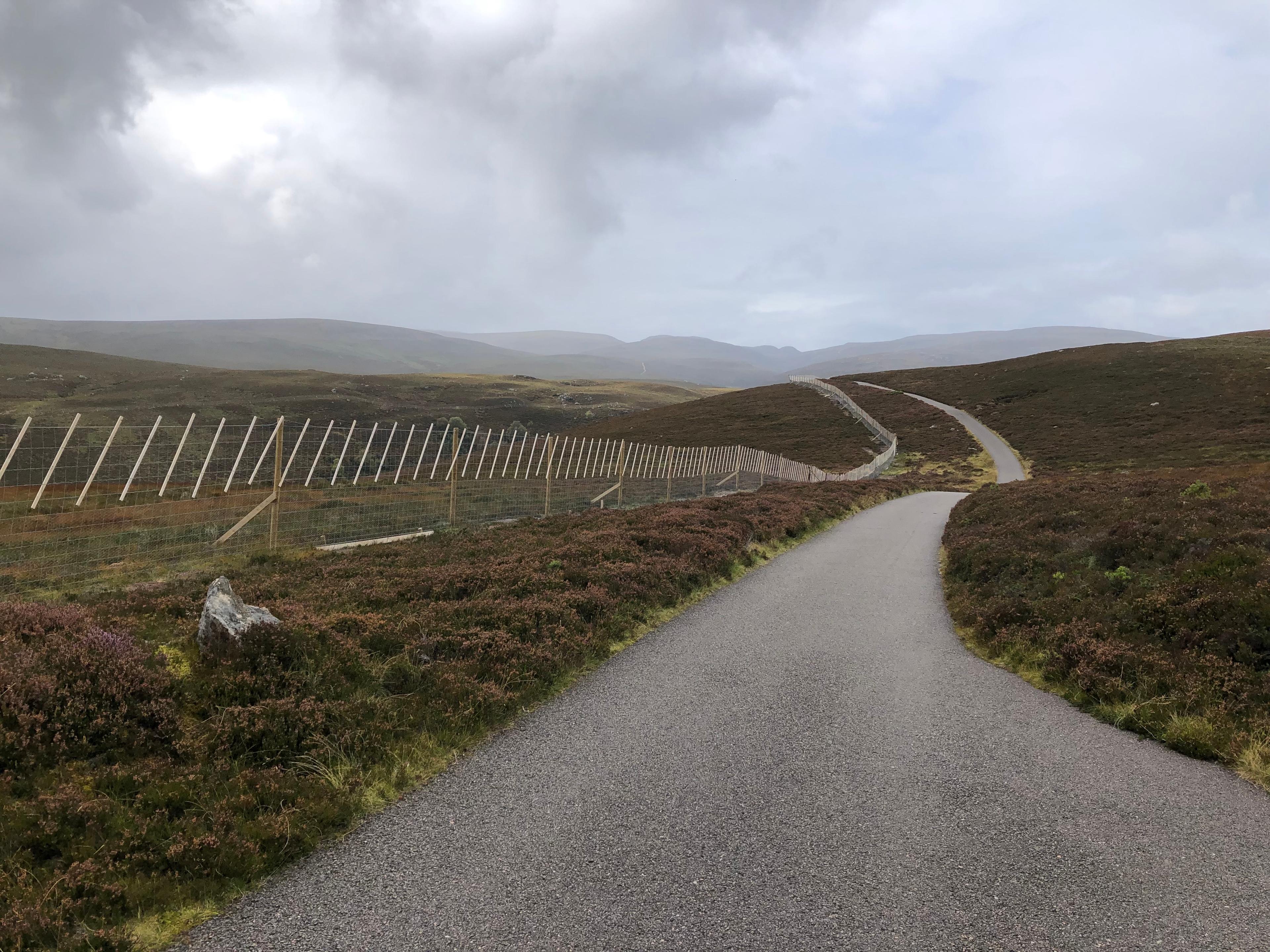
Glen Kyllachy
1.9 km · 6.5% · 127 m gain
Inverness, Scotland, United Kingdom
65.2 km away · Explore climb →
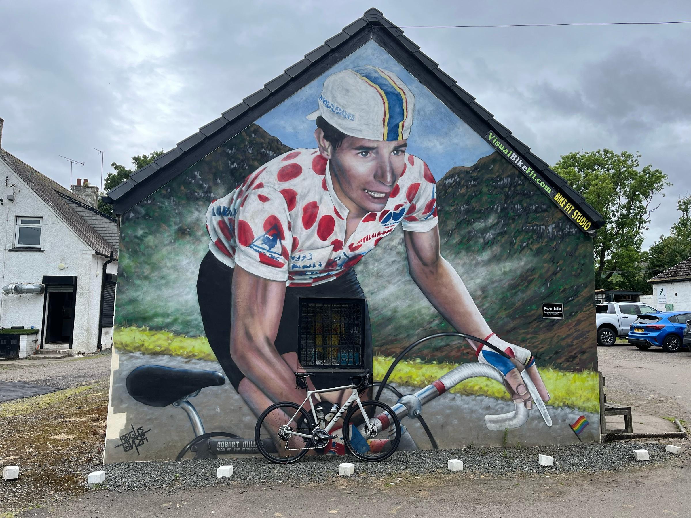
Crow Road
5.6 km · 4.8% · 286 m gain
Lennoxtown, United Kingdom
104.1 km away · Explore climb →

Rest and Be Thankful
4.2 km · 6.1% · 258 m gain
Cairndow, UK, Scotland, United Kingdom
112.3 km away · Explore climb →